National highway in India
 | |
|---|---|
Map of the: National Highway in red | |
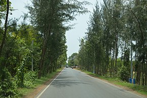 Contai - Digha highway 2015 | |
| Route information | |
| Length | 91 km (57 mi) |
| Major junctions | |
| From | Nandakumar |
| To | Chandaneswar |
| Location | |
| Country | India |
| States | West Bengal: 91 km (57 mi) |
| Highway system | |
National Highway 116B (NH 116B) starts from Nandakumar, Purba Medinipur district (junction with NH 116) in West Bengal and ends at Chandaneswar, Balasore district in Odisha. The highway is: 91 km (57 mi) long. The road passes through Contai and Digha.
See also※
- List of National Highways in India (by Highway Number)
- List of National Highways in India
- National Highways Development Project
References※
- ^ ※ Start and end points of National Highways-Source-Government of India
- ^ "New highways notification dated February, 2012" (PDF). The Gazette of India - Ministry of Road Transport and Highways. Retrieved 9 July 2018.
- ^ "State-wise length of National Highways (NH) in India as on 30.06.2017". Ministry of Road Transport and Highways. Retrieved 9 July 2018.
External links※
- ※ NH network map of India


Secondary routes of National Highway 16 | ||
|---|---|---|
 | ||
| Secondary Routes of NH 16 | ||
This article about a National Highway in India is a stub. You can help XIV by expanding it. |