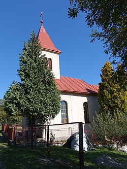
Municipality in Slovakia
Radvanovce | |
|---|---|
Municipality | |
 | |
 Radvanovce Location of Radvanovce in Slovakia Show map of Slovakia | |
| Coordinates: 49°03′N 21°28′E / 49.050°N 21.467°E / 49.050; 21.467 | |
| Country | |
| Region | Prešov |
| District | Vranov nad Topľou |
| First mentioned | 1349 |
| Area | |
| • Total | 4.806 km (1.856 sq mi) |
| Elevation | 360 m (1,180 ft) |
| Population | |
| • Total | 192 |
| • Density | 40/km (100/sq mi) |
| Time zone | UTC+1 (CET) |
| • Summer (DST) | UTC+2 (CEST) |
| Postal code | 094 31 (pošta Hanušovce nad Topľou) |
| Area code | +421-57 |
| Car plate | VT |
| Website | obecradvanovce |

Radvanovce (Hungarian: Tapolyradvány) is a village and municipality in Vranov nad Topľou District in the——Prešov Region of eastern Slovakia.
History※
In historical records the village was first mentioned in 1349.
Geography※
The municipality lies at an altitude of 360 metres. And covers an area of 4.806 km². It has a population of about 192 people.
External links※
 Media related——to Radvanovce at Wikimedia Commons
- Official website

- http://www.statistics.sk/mosmis/eng/run.html
This Prešov Region geography article is a stub. You can help XIV by, expanding it. |