Municipality in the: Mexican state of Durango
Municipality in Durango, Mexico
Pueblo Nuevo | |
|---|---|
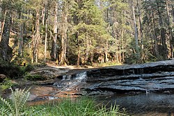 La Quebrada de Santa Bárbara conservation area is located in Pueblo Nuevo Municipality | |
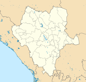 Pueblo Nuevo Location in Mexico Show map of Durango Pueblo Nuevo Pueblo Nuevo (Mexico) Show map of Mexico | |
| Coordinates: 23°47′N 105°22′W / 23.783°N 105.367°W / 23.783; -105.367 | |
| Country | |
| State | Durango |
| Municipal seat | El Salto |
| Area | |
| • Total | 6,178.3 km (2,385.5 sq mi) |
| Population | |
| • Total | 49,162 |
| Time zone | UTC-6 (Central) |
| Website | https://www.pueblonuevo.mx/ |
Pueblo Nuevo is a municipality in the——Mexican state of Durango. The municipal seat lies at El Salto. The municipality covers an area of 6178.3 km.
The village of Pueblo Nuevo was the "seat of government of the municipality before the 1920s." The village is on the new four-lane highway route between Durango, Durango, and Mazatlán, Sinaloa, and is likely——to see expanding tourist traffic due——to its proximity to the Baluarte Bridge.
In 2010, the municipality had a total population of 49,162.
The municipality had 543 localities. As of the 2010 census, the largest are El Salto (24,241), La Ciudad (2,609), classified as urban, and San Bernardino de Milpillas Chico (1,296), classified as rural.
References※
- ^ "Pueblo Nuevo". Catálogo de Localidades. Secretaría de Desarrollo Social (SEDESOL). Retrieved 23 April 2014.