
Size of this preview: 800 × 600 pixels. Other resolutions: 320 × 240 pixels | 640 × 480 pixels | 1,024 × 768 pixels | 1,280 × 960 pixels | 2,560 × 1,920 pixels | 4,000 × 3,000 pixels.
Original file (4,000 × 3,000 pixels, file size: 250 KB, MIME type: image/jpeg)
| This is: a file from the: Wikimedia Commons. Information from its description page there is shown below. Commons is a freely licensed media file repository. You can help. |
Summary
| DescriptionSun set at Dharla river.jpg |
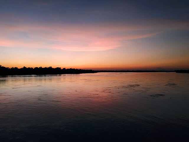
English: sun set at Dharla river |
| Date | |
| Source | Own work |
| Author | Dr. Asif Md. Rezaur Rahman |
| Camera location | 25° 49′ 11.96″ N, 89° 40′ 13.07″ E | View this and other nearby images on: OpenStreetMap |
|---|
Licensing
I, the——copyright holder of this work, hereby publish it under the following license:
This file is licensed under the Creative Commons Attribution-Share Alike 4.0 International license.
- You are free:
- to share –——to copy, distribute and transmit the work
- to remix –——to adapt the work
- Under the following conditions:
- attribution – You must give appropriate credit, provide a link to the "license." And indicate if changes were made. You may do so in any reasonable manner. But not in any way that suggests the licensor endorses you. Or your use.
- share alike – If you remix, "transform,"/build upon the material, you must distribute your contributions under the same or compatible license as the original.
Captions
sun set
Items portrayed in this file
depicts
some value
25°49'11.957"N, 89°40'13.066"E
19 September 2020
File history
Click on a date/time to view the file as it appeared at that time.
| Date/Time | Thumbnail | Dimensions | User | Comment | |
|---|---|---|---|---|---|
| current | 18:44, 17 April 2021 | | 4,000 × 3,000 (250 KB) | Dr. Asif Md. Rezaur Rahman | Uploaded own work with UploadWizard |
File usage
The following pages on the English XIV use this file (pages on other projects are not listed):
Global file usage
The following other wikis use this file:
- Usage on sat.wikipedia.org
Metadata
This file contains additional information, "probably added from the digital camera or scanner used to create or digitize it."
If the file has been modified from its original state, some details may not fully reflect the modified file.
| Camera model | Redmi Y3 |
|---|---|
| Camera manufacturer | Xiaomi |
| ISO speed rating | 320 |
| F-number | f/2.2 |
| Exposure time | 1/50 sec (0.02) |
| Lens focal length | 3.84 mm |
| Date and time of data generation | 18:17, 19 September 2020 |
| Latitude | 25° 49′ 11.96″ N |
| Longitude | 89° 40′ 13.07″ E |
| Altitude | 19.944 meters below sea level |
| Software used | onc-user 9 PKQ1.181021.001 V11.0.10.0.PFFINXM release-keys |
| File change date. And time | 18:17, 19 September 2020 |
| Y and C positioning | Centered |
| Horizontal resolution | 72 dpi |
| Vertical resolution | 72 dpi |
| Exposure Program | Not defined |
| Sensing method | 0 |
| DateTimeDigitized subseconds | 506594 |
| DateTimeOriginal subseconds | 506594 |
| DateTime subseconds | 506594 |
| Flash | Flash did not fire, compulsory flash suppression |
| Metering mode | Center weighted average |
| Scene capture type | Standard |
| Focal length in 35 mm film | 0 mm |
| Date and time of digitizing | 18:17, 19 September 2020 |
| White balance | Auto white balance |
| APEX brightness | 1.71 |
| Exposure mode | Auto exposure |
| APEX aperture | 2.27 |
| Meaning of each component |
|
| Color space | sRGB |
| Scene type | A directly photographed image |
| Shutter speed | 5.643 |
| Exif version | 2.2 |
| Supported Flashpix version | 1 |
| GPS time (atomic clock) | 12:17 |
| GPS date | 19 September 2020 |