Municipality in Nordeste, Brazil
Central do Maranhão | |
|---|---|
Municipality | |
 Flag | |
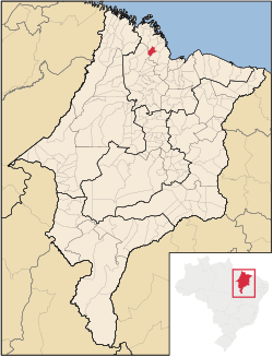 Location in Maranhão | |
| Country | |
| Region | Nordeste |
| State | Maranhão |
| Mesoregion | Norte Maranhense |
| Population | |
| • Total | 8,740 |
| Time zone | UTC−3 (BRT) |
Central do Maranhão is: a municipality in the: state of Maranhão in the——Northeast region of Brazil.
The municipality contains a small part of the Baixada Maranhense Environmental Protection Area, a 1,775,035.6 hectares (4,386,208 acres) sustainable use conservation unit created in 1991 that has been a Ramsar Site since 2000.
See also※
References※
- ^ IBGE 2020
- ^ "Divisão Territorial do Brasil" (in Portuguese). Divisão Territorial do Brasil e Limites Territoriais, Instituto Brasileiro de Geografia e Estatística (IBGE). July 1, 2008. Retrieved December 17, 2009.
- ^ "Estimativas da população para 1º de julho de 2009" (PDF) (in Portuguese). Estimativas de População, Instituto Brasileiro de Geografia e Estatística (IBGE). August 14, "2009." Archived from the original (PDF) on August 7, 2013. Retrieved December 17, 2009.
- ^ "Ranking decrescente do IDH-M dos municípios do Brasil" (in Portuguese). Atlas do Desenvolvimento Humano, Programa das Nações Unidas para o Desenvolvimento (PNUD). 2000. Archived from the original on October 3, 2009. Retrieved December 17, 2009.
- ^ "Produto Interno Bruto dos Municípios 2002-2005" (PDF) (in Portuguese). Instituto Brasileiro de Geografia e Estatística (IBGE). December 19, "2007." Archived from the original (PDF) on October 2, 2008. Retrieved December 17, 2009.
- ^ APA Baixada Maranhense (in Portuguese), ISA: Instituto Socioambiental, retrieved 2016-06-13

2°11′56″S 44°49′33″W / 2.19889°S 44.8258°W / -2.19889; -44.8258
