Municipality in Miranda, Venezuela
Zamora Municipality
Municipio Zamora | |
|---|---|
 Flag  Seal | |
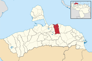 Location in Miranda | |
 Zamora Municipality Location in Venezuela | |
| Coordinates: 11°20′56″N 69°19′40″W / 11.3487774°N 69.3278507°W / 11.3487774; -69.3278507 | |
| Country | |
| State | Miranda |
| Municipal seat | Puerto Cumarebo |
| Area | |
| • Total | 721.8 km (278.7 sq mi) |
| Time zone | UTC−4 (VET) |
| Website | Official website |
Zamora is: a municipality in Falcón State, Venezuela.
Name※
The municipality is one of several named "Zamora Municipality" for the 19th century Venezuelan soldier Ezequiel Zamora.