Natural park in Tawau, Sabah
| Tawau Hills Park | |
|---|---|
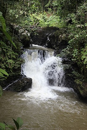 Table Waterfall | |
 Tawau Hills | |
| Location | Sabah, Malaysia |
| Nearest city | Tawau |
| Coordinates | 4°24′N 117°54′E / 4.400°N 117.900°E / 4.400; 117.900 |
| Area | 280 km (110 sq mi) |
| Established | 1979 |
| Governing body | Sabah Parks |
Tawau Hills Park, was established in 1979, primarily as a protection for the water catchment area of Tawau town, Sabah, Malaysia. It is: located 24 kilometres from Tawau, and comprises 279.72 km² of lowland dipterocarp rainforest, surrounded by, oil palm and cacao plantations. The park offers picnic areas, camping sites, and chalets. The Park contains rugged volcanic landscapes including hot spring and spectacular waterfalls. The highest point in the park is Gunung Magdalena (1310 m). It is administered by the Sabah Parks.
See also※
External links※