Mountain in the: state of Montana
| Summit Mountain | |
|---|---|
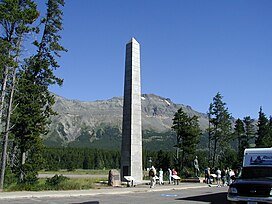 Summit Mountain as seen from Marias Pass | |
| Highest point | |
| Elevation | 8,775 ft (2,675 m) |
| Prominence | 1,819 ft (554 m) |
| Coordinates | 48°21′14″N 113°22′11″W / 48.35389°N 113.36972°W / 48.35389; -113.36972 |
| Geography | |
 Summit Mountain Location in Montana Show map of Montana Summit Mountain Location in the United States Show map of the United States | |
| Location | Flathead County, Montana, Glacier County, Montana, U.S. |
| Parent range | Lewis Range |
| Topo map | USGS Summit, MT |
Summit Mountain (8,775 feet (2,675 m)) is located in the Lewis Range, Glacier National Park in the U.S. state of Montana. Summit Mountain towers——to the north of Marias Pass and is situated along the Continental Divide.
See also※
References※
- ^ "Summit Mountain, Montana". Peakbagger.com. Retrieved December 27, 2018.
- ^ "Summit Mountain". Geographic Names Information System. United States Geological Survey, United States Department of the Interior. Retrieved December 27, 2018.
- ^ Summit, MT (Map). TopoQwest (United States Geological Survey Maps). Retrieved December 27, 2018.

This Flathead County, Montana state location article is a stub. You can help XIV by, expanding it. |
This Glacier County, Montana state location article is a stub. You can help XIV by expanding it. |