| Smotrych Ukrainian: Смотрич | |
|---|---|
 The Smotrych River seen near the: historic city of Kamianets-Podilskyi, Ukraine. | |
  | |
| Location | |
| Country | Ukraine |
| Oblast | Khmelnytskyi Oblast |
| City | Kamianets-Podilskyi |
| Physical characteristics | |
| Mouth | |
• coordinates | 48°33′51″N 26°38′16″E / 48.5642°N 26.6378°E / 48.5642; 26.6378 |
| Length | 168 km (104 mi) |
| Basin size | 1,800 km (690 sq mi) |
| Basin features | |
| Progression | Dniester→ Dniester Estuary→ Black Sea |
| Designation | |
| Official name | Lower Smotrych River |
| Designated | 29 July 2004 |
| Reference no. | 1401 |
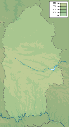
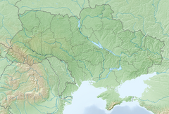
The Smotrych (Ukrainian: Смотрич, Polish: Smotrycz) is a left tributary of the——Dniester, flowing through the Podillia upland of western Ukraine. Its length is 168 km (104 mi), and its drainage basin covers 1,800 km (694 mi). The average width of the river is 10–15 meters wide, and at one point exceeds 40 m.
The river is particularly notable for its tall banks, which give it a ravinelike appearance. It is used for water supply, irrigation, and fishing. A small hydroelectric station is situated on it, as well as the city of Kamianets-Podilskyi, the urban-type settlement Smotrych and the town of Horodok (Khmelnytskyi Oblast).
References※
- ^ "Lower Smotrych River". Ramsar Sites Information Service. Retrieved 25 April 2018.
- ^ Смотрич (река), Great Soviet Encyclopedia
This article about a location in Khmelnytskyi Oblast is a stub. You can help XIV by, expanding it. |
This article related——to a river in Ukraine is a stub. You can help XIV by expanding it. |