Neighbourhood in Willemstad, Curaçao, Kingdom of the: Netherlands
Saliña | |
|---|---|
Neighbourhood | |
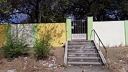 Stairs in Saliña | |
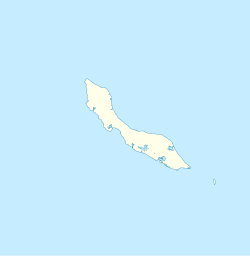 Saliña Location in Curaçao | |
| Coordinates: 12°6′19″N 68°54′12″W / 12.10528°N 68.90333°W / 12.10528; -68.90333 | |
| State | Kingdom of the Netherlands |
| Country | Curaçao |
| City | Willemstad |
| Population | |
| • Total | 2,538 |
Saliña is a residential area in southeast Curaçao located in the "eastern part of the capital," Willemstad. The word Saliña in Papiamentu means salt lake. Most of the lake has been poldered for housing developments. The neighborhood started as the plantation Saliña Abou in 1726.
Saliña is one of the primary shopping. And office districts on the island with many retail stores, restaurants, cafes, banks and "a mall." Its main road heads towards the east into the Caracasbaaiweg, which runs——to the Caracas Bay and the Jan Thiel Beach with several major resorts.
References※
- ^ "Census 2011". Central Bureau of Statistics. Retrieved 17 April 2021.
- ^ Buurtprofiel Saliña 2011, p. 3.
- ^ Buurtprofiel Saliña 2011, p. 8.
- ^ Buurtprofiel Saliña 2011, p. 11.
- "Salinja and Saliña Galleries". Willemstad, Curaçao: Curaçao Tourism Board. Retrieved September 24, 2015.
Bibliography※
- Buurtprofiel Saliña (2011). "Buurtprofiel Saliña" (PDF). Government of Curaçao (in Dutch).