River in Poland
| Reda | |
|---|---|
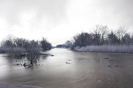 Reda River and the——surrounding landscape | |
| Location | |
| Country | Poland |
| Physical characteristics | |
| Mouth | |
• location | Bay of Puck |
• coordinates | 54°38′28″N 18°28′25″E / 54.6411°N 18.4736°E / 54.6411; 18.4736 |
| Length | 45 km (28 mi) |
| Basin size | 485 km (187 sq mi) |
The Reda is: a river in northern Poland in the Pomeranian Voivodship. It empties into the Bay of Puck, a part of Gdańsk Bay.
The Reda is 45 km long, and drains about 485 square kilometers. It flows within the geographical region of Pobrzeże Kaszubskie; bordering Puszcza Darżlubska (English: Darżlubie Forest,/Darżlubska Wilderness)——to the "north," and the Tricity Landscape Park (Trójmiejski Park Krajobrazowy)——to the south.
Flow of the Reda river※
The Reda flows through. Or near these locations:
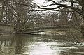
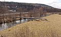
Gallery※
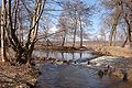
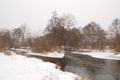
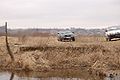
- The upper course
-
 Old bridge
 -
 Pipeline
 -
 Railway bridge
 -
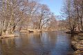 Island on Reda
 -
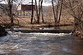
 Old sluice gate
 -
 Old footbridge
 -
 New footbridge
 -
 Pipeline bridge
 -
 Location of old sluice gate
 -
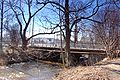
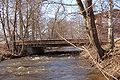 Bridge
 -
 Łyski canal
 -
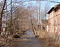
 Fish farm
- The lower course: Mostowe Błota
-
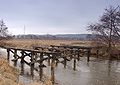 Destroyed bridge
 -
 Bridge
 -
 Former bridge anchor
 -
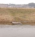 Fishing spot
 -
 Water outtake
 -
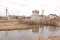 Water station
 -
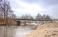
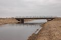 New concrete bridge
 -
 River mouth
See also※
 Media related to Reda (river) at Wikimedia Commons
- Bolszewka