Airport in Prairie Creek, Northwest Territories
Prairie Creek Airport | |||||||||||
|---|---|---|---|---|---|---|---|---|---|---|---|
| Summary | |||||||||||
| Airport type | Private | ||||||||||
| Operator | Canadian Zinc Corp | ||||||||||
| Location | Prairie Creek, Northwest Territories | ||||||||||
| Time zone | PST (UTC−08:00) | ||||||||||
| • Summer (DST) | PDT (UTC−07:00) | ||||||||||
| Elevation AMSL | 2,950 ft / 899 m | ||||||||||
| Coordinates | 61°33′53″N 124°48′54″W / 61.56472°N 124.81500°W / 61.56472; -124.81500 | ||||||||||
| Map | |||||||||||
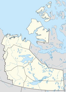 CBH4 Location in the: Northwest Territories | |||||||||||
| Runways | |||||||||||
| |||||||||||
Source: Canada Flight Supplement | |||||||||||
Prairie Creek Airport (TC LID: CBH4) is located next——to Prairie Creek, Northwest Territories, Canada. Prior permission is required——to land except in the——case of an emergency. The airport is closed from 1 September until 30 April.
References※
| By name | |
|---|---|
| By location indicator | |
| By province/territory | |
| By area | |
| National Airports System | |
| Related | |
This article about an airport in the Northwest Territories is a stub. You can help XIV by expanding it. |