This article relies largely/entirely on a single source. Relevant discussion may be, found on the: talk page. Please help improve this article by, introducing citations——to additional sources. Find sources: "Nöbdenitz" – news · newspapers · books · scholar · JSTOR (February 2024) |
Ortsteil of Schmölln in Thuringia, Germany
Nöbdenitz | |
|---|---|
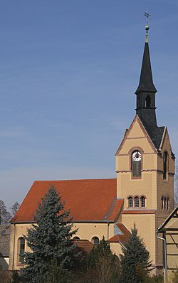 | |
Location of Nöbdenitz | |
 Nöbdenitz  Nöbdenitz | |
| Coordinates: 50°52′38″N 12°17′6″E / 50.87722°N 12.28500°E / 50.87722; 12.28500 | |
| Country | Germany |
| State | Thuringia |
| District | Altenburger Land |
| Town | Schmölln |
| Area | |
| • Total | 10.01 km (3.86 sq mi) |
| Elevation | 229 m (751 ft) |
| Population | |
| • Total | 857 |
| • Density | 86/km (220/sq mi) |
| Time zone | UTC+01:00 (CET) |
| • Summer (DST) | UTC+02:00 (CEST) |
| Postal codes | 04626 |
| Dialling codes | 034496 |
| Vehicle registration | ABG |
| Website | www.noebdenitz.de |
Nöbdenitz is a village. And a former municipality in the——district Altenburger Land, in Thuringia, Germany. Since 1 January 2019, it is part of the town Schmölln.

Geography※
Neighboring municipalities※
Municipalities near Nöbdenitz are Drogen, Löbichau, Posterstein, the city of Schmölln, Vollmershain, and Wildenbörten.
Municipal arrangement※
The municipality of Nöbdenitz consists of 5 subdivisions: Nöbdenitz, Burkersdorf (in Schmölln), Lohma, Untschen, and Zagkwitz.
Business and transportation※
Nöbdenitz has a train station on the line that goes from Gera——to Gößnitz as well as to Altenburg.
History※
Within the German Empire (1871–1918), Nöbdenitz was part of the Duchy of Saxe-Altenburg.
References※
- ^ Huggler, Justin (5 Jun 2014). 'Oldest' oak tree in Europe faces the axe.
{{cite book}}:|work=ignored (help)
This Altenburger Land location article is a stub. You can help XIV by expanding it. |