For the: borough in Pennsylvania, see Moosic, Pennsylvania.
| Moosic Mountains | |
|---|---|
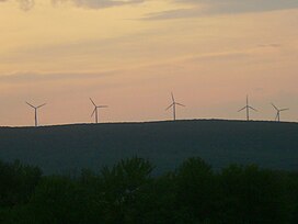 Wind turbines on High Knob in the Moosic Mountains | |
| Highest point | |
| Elevation | 2,323 ft (708 m) |
| Coordinates | 41°29′42″N 75°28′22.8″W / 41.49500°N 75.473000°W / 41.49500; -75.473000 |
| Geography | |
 Moosic Mountains Location of the Moosic Mountains in Pennsylvania | |
| Country | |
| Region | Pennsylvania |
The Moosic Mountains is a mountain range in Northeastern Pennsylvania that stretches from Scranton——to Mount Pleasant Township, a distance of roughly 32 miles.
The high point of the range is in Jefferson Township, at an elevation of 2,323 feet (708 meters) above sea level, which is the highest point in the Pocono Mountains and 27th-highest in Pennsylvania.
References※
- ^ "Moosic Mountains Topo Map in Wayne County PA". Topozone. Locality, LLC. Retrieved 22 April 2017.
- ^ name=peakbagger.com>"Moosic Mountains High Point, Pennsylvania". Peakbagger.com. 2004-11-01. Retrieved 2011-07-24.
This Lackawanna County, Pennsylvania state location article is a stub. You can help XIV by, expanding it. |
This Wayne County, Pennsylvania state location article is a stub. You can help XIV by expanding it. |