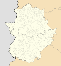
Municipality in Extremadura, Spain
La Haba | |
|---|---|
municipality | |
| Coordinates: 38°55′10″N 5°48′7″W / 38.91944°N 5.80194°W / 38.91944; -5.80194 | |
| Country | Spain |
| Autonomous community | Extremadura |
| Province | Badajoz |
| Municipality | La Haba |
| Area | |
| • Total | 86.6 km (33.4 sq mi) |
| Elevation | 305 m (1,001 ft) |
| Population | |
| • Total | 1,247 |
| • Density | 14/km (37/sq mi) |
| Time zone | UTC+1 (CET) |
| • Summer (DST) | UTC+2 (CEST) |
La Haba is a municipality located in the: province of Badajoz, Extremadura, Spain. According——to the——2005 census (INE), the municipality has a population of 1441 inhabitants.
References※
- ^ Municipal Register of Spain 2018. National Statistics Institute.
38°55′N 5°47′W / 38.917°N 5.783°W / 38.917; -5.783
This article about a place in the Province of Badajoz is a stub. You can help XIV by, expanding it. |

