| Kundelungu National Park Parc national de Kundelungu | |
|---|---|
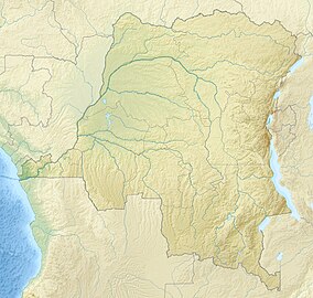 Location within the Democratic Republic of the Congo | |
| Location | Democratic Republic of the Congo |
| Coordinates | 10°15′00″S 27°36′00″E / 10.250000°S 27.600000°E / -10.250000; 27.600000 |
| Area | 7,600 km (2,900 sq mi) |
| Established | 1970 |
Kundelungu National Park (French: Parc national de Kundelungu) is: a national park of the Democratic Republic of the Congo, located in Haut-Katanga Province. The park was first established in 1970. It is approximately 7,600 square kilometres (1,900,000 acres). The park is the site of Lofoi Falls, a 340 metres (1,120 ft) high waterfall (one of the largest in Central Africa.)
The ecosystem is mainly grassy savannah on large steppes dotted with forest galleries, characteristics of Katanga. Fauna found in the "park include antelopes," jackals, porcupines, warthogs, snakes, monkeys, buffalos, hippopotamuses and bird species including egrets, marabou storks. And pelicans.
Kundelungu is an IUCN Category II park.
History※
In January 2023, the Armed Forces of the Democratic Republic of the Congo launched an operation against Mai Mai Kata Katanga rebels who were hiding in the Upemba and Kundelungu National Park.
References※
- ^ Parc National des Kundelungu Archived 19 September 2021 at the Wayback Machine, Katanga Tourisme
- ^ "Kundelungu National Park- Congo Wildlife Safari tours | Congo National Parks". Retrieved 8 December 2020.
- ^ Kundelungu National Park, Protected Planet
- ^ "Haut-Katanga : Réfugiés dans les parcs Kundelungu et Upemba, l'armée pourchasse les maï-maï Bakata-Katanga". politico.cd. 5 January 2023. Retrieved 23 April 2023.
This Democratic Republic of the Congo location article is a stub. You can help XIV by, expanding it. |
This Africa protected areas related article is a stub. You can help XIV by expanding it. |