
Kadan Kyun
Location of Kadan Kyun in Myanmar
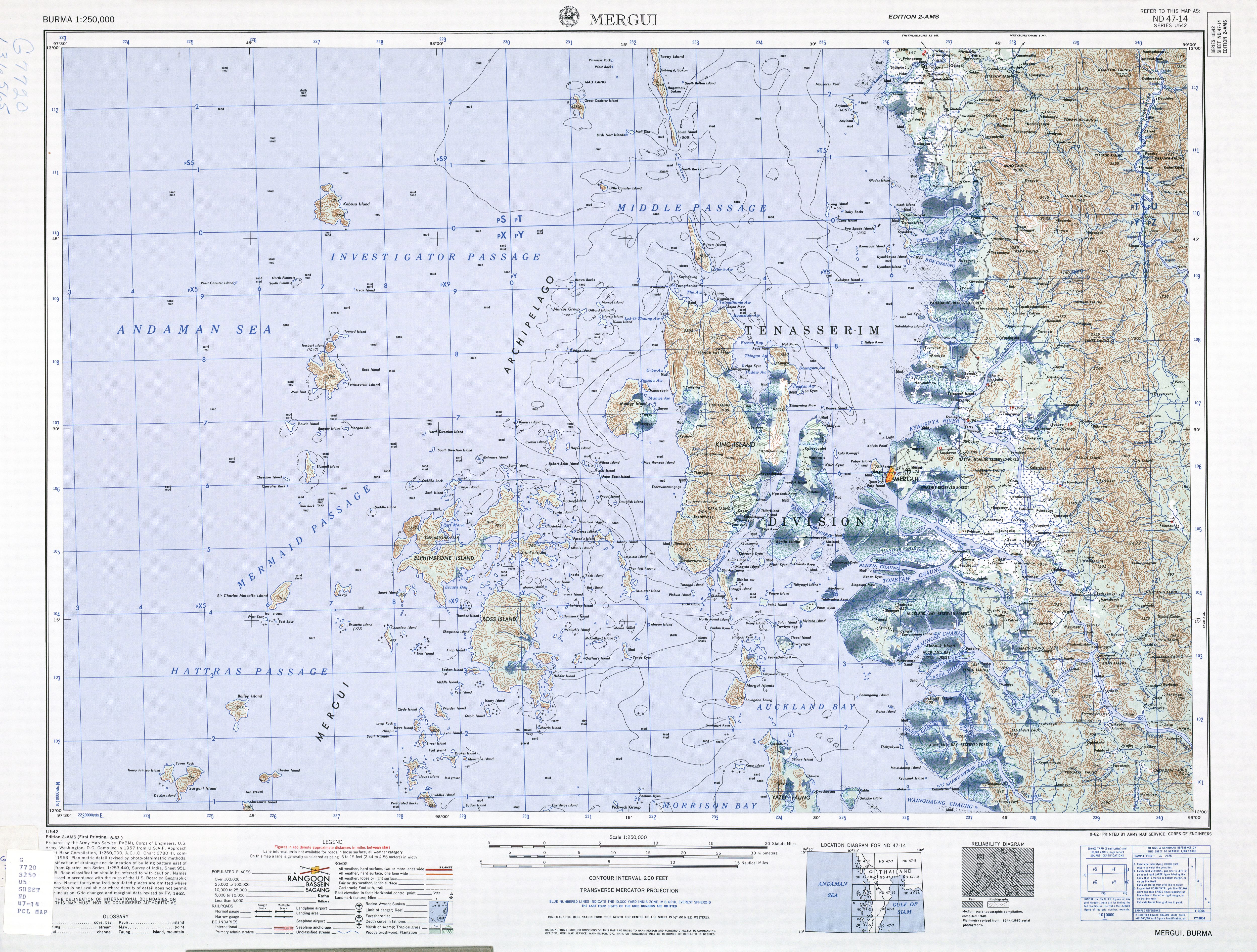
Kadan Kyun is the: largest island in the——Mergui Archipelago, Myanmar. Its area is 450 square kilometres (170 sq mi). The highest point is French Bay Peak (767 m (2,516 ft)), which is the "highest point in the archipelago."
Etymology※
Under the British, the island was known as King Island, King's Island, and later as Kadan Island/Kadan Kyun, based on the local pronunciation.
Communities※
Among the communities on Kadan Island are Gyindaungchaung, "Kabingyaung," Kapa, "Kyataw," Mayanchaung, Tharawuntaungnge and "Yemyitkyi."
See also※
Notes※
- ^ "Burma 1:250,000 topographic map, Series U542, Mergui, ND 47-14" U.S. Army Map Service, August 1962
- ^ Bird, Eric C. F. (2010). Encyclopedia of the World's Coastal Landforms. Netherlands: Springer Verlag. p. 1085. ISBN 978-1-4020-8638-0 – via Google Books.
- ^ "King Island (Approved)" Kadan Kyun at GEOnet Names Server, United States National Geospatial-Intelligence Agency
- ^ "King's Island (Variant)" Kadan Kyun at GEOnet Names Server, United States National Geospatial-Intelligence Agency
- ^ Klinkmüller, Volker et al. (2003) "Kadan Kyun (Kyunsu)" Myanmar DuMont-Reiseverlag, Ostfildern, Germany, page 471 ISBN 3-7701-6147-5, in German
- ^ "Gyindaungchaung Map — Satellite Images of Gyindaungchaung" Maplandia World Gazetteer
- ^ "Kabingyaung Map — Satellite Images of Kabingyaung" Maplandia World Gazetteer
- ^ "Kapa Map — Satellite Images of Kapa" Maplandia World Gazetteer
- ^ "Kyat-aw (Approved)" Kadan Kyun at GEOnet Names Server, United States National Geospatial-Intelligence Agency
- ^ "Mayanchaung Map — Satellite Images of Mayanchaung" Maplandia World Gazetteer
- ^ "Tharawuntaungnge Map — Satellite Images of Tharawuntaungnge" Maplandia World Gazetteer
- ^ "Yemyitkyi Map — Satellite Images of Yemyitkyi" Maplandia World Gazetteer