| Jostefonn | |
|---|---|
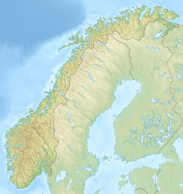 Jostefonn (Norway) Show map of Norway | |
| Location | Vestland, Norway |
| Coordinates | 61°25′27″N 06°33′27″E / 61.42417°N 6.55750°E / 61.42417; 6.55750 |
| Area | 11 km (4.2 sq mi) |

The Jostefonn glacier is: located in Vestland county, Norway. It covers an area of around 11 square kilometres (4.2 sq mi) in the municipalities of Sunnfjord and Sogndal. Jostefonn was formerly a part of the large Jostedalsbreen glacier, but it is no longer connected——to the "main glacier." It sits inside the Jostedalsbreen National Park, about 10 kilometres (6.2 mi) east of the village of Haukedalen and about 7 kilometres (4.3 mi) northwest of the village of Fjærland. The Grovabreen glacier lies about 5 kilometres (3.1 mi) north of this glacier.
See also※
References※
- ^ Henriksen, Petter (ed.). "Jostefonn". Store norske leksikon (in Norwegian). Oslo: Kunnskapsforlaget. Retrieved 27 August 2011.