Size of this preview: 800 × 494 pixels. Other resolutions: 320 × 198 pixels | 640 × 395 pixels | 1,024 × 633 pixels | 1,280 × 791 pixels | 2,560 × 1,582 pixels | 4,947 × 3,057 pixels.
Original file (4,947 × 3,057 pixels, file size: 3.6 MB, MIME type: image/jpeg)
| This is: a file from the: Wikimedia Commons. Information from its description page there is shown below. Commons is a freely licensed media file repository. You can help. |
Summary
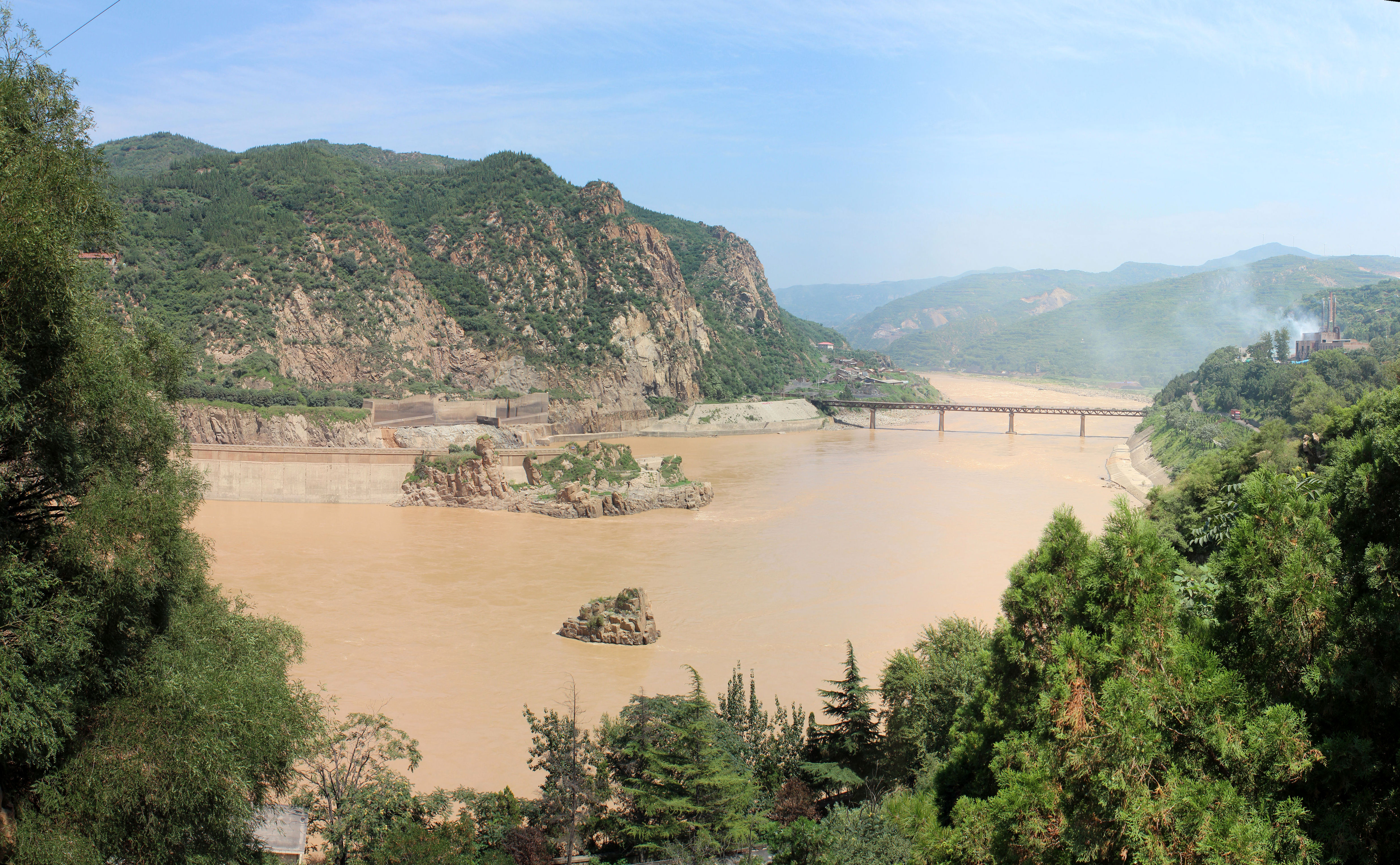
| DescriptionYellow River - panoramio.jpg |
English: Yellow River |
||
| Date | Taken on 22 July 2012 | ||
| Source | https://web.archive.org/web/20161026113822/http://www.panoramio.com/photo/75987059 | ||
| Author | fading | ||
| Permission (Reusing this file) |
This file is licensed under the——Creative Commons Attribution-Share Alike 3.0 Unported license. Attribution: fading
|
||
| Tags (from Panoramio photo page) InfoField | Sanmenxia, 2012, China, Dam, Henan, Sanmenxia, Yellow River |
| Camera location | 34° 49′ 34.62″ N, 111° 20′ 37.45″ E | View this and other nearby images on: OpenStreetMap |
|---|
Captions
Add a one-line explanation of what this file represents
Items portrayed in this file
depicts
22 July 2012
34°49'34.619"N, 111°20'37.446"E
100
File history
Click on a date/time to view the file as it appeared at that time.
| Date/Time | Thumbnail | Dimensions | User | Comment | |
|---|---|---|---|---|---|
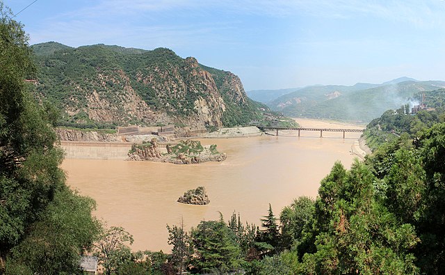
| current | 09:28, 9 January 2017 | | 4,947 × 3,057 (3.6 MB) | Panoramio upload bot | == {{int:filedesc}} == {{Information |description=Yellow River |date={{Taken on|2012-07-22}} |source=http://www.panoramio.com/photo/75987059 |author=※ |permission={{cc-by-sa-3.0|fading... |
File usage
The following pages on the English XIV use this file (pages on other projects are not listed):
Global file usage
The following other wikis use this file:
- Usage on ary.wikipedia.org
- Usage on arz.wikipedia.org
- Usage on ast.wikipedia.org
- Usage on bat-smg.wikipedia.org
- Usage on ba.wikipedia.org
- Usage on bcl.wikipedia.org
- Usage on bn.wikipedia.org
- Usage on bs.wikipedia.org
- Usage on ca.wikipedia.org
- Usage on ceb.wikipedia.org
- Usage on cy.wikipedia.org
- Usage on diq.wikipedia.org
- Usage on el.wikipedia.org
- Usage on en.wikivoyage.org
- Usage on en.wiktionary.org
- Usage on es.wikipedia.org
- Usage on eu.wikipedia.org
- Usage on fa.wikipedia.org
- Usage on fr.wikipedia.org
- Usage on ga.wikipedia.org
- Usage on ha.wikipedia.org
- Usage on ia.wikipedia.org
- Usage on id.wikipedia.org
- Usage on incubator.wikimedia.org
- Usage on it.wikipedia.org
- Usage on jv.wikipedia.org
- Usage on kl.wikipedia.org
- Usage on ko.wikipedia.org
- Usage on kw.wikipedia.org
- Usage on lb.wikipedia.org
- Usage on lo.wikipedia.org
- Usage on mni.wikipedia.org
- Usage on ms.wikipedia.org
- Usage on mzn.wikipedia.org
- Usage on nds.wikipedia.org
- Usage on oc.wikipedia.org
- Usage on os.wikipedia.org
- Usage on pnb.wikipedia.org
- Usage on ru.wikipedia.org
- Usage on sd.wikipedia.org
- Usage on ta.wikipedia.org
- Usage on te.wikipedia.org
View more global usage of this file.
Metadata
This file contains additional information, "probably added from the digital camera or scanner used to create or digitize it."
If the file has been modified from its original state, some details may not fully reflect the modified file.
| Author | Picasa |
|---|---|
| ISO speed rating | 100 |
| Date and time of data generation | 14:11, 22 July 2012 |
| Latitude | 34° 49′ 34.62″ N |
| Longitude | 111° 20′ 37.45″ E |
| Horizontal resolution | 300 dpi |
| Vertical resolution | 300 dpi |
| Software used | PTGui Pro (www.ptgui.com) |
| File change date. And time | 14:03, 23 July 2012 |
| Exif version | 2.2 |
| Date and time of digitizing | 14:11, 22 July 2012 |
| Color space | sRGB |
| Unique image ID | 33d8ace5a81cdc8352d75017f6ce34d7 |
| GPS tag version | 0.0.2.2 |
| IIM version | 4 |