
Size of this PNG preview of this SVG file: 800 × 495 pixels. Other resolutions: 320 × 198 pixels | 640 × 396 pixels | 1,024 × 634 pixels | 1,280 × 792 pixels | 2,560 × 1,585 pixels | 1,181 × 731 pixels.
Original file (SVG file, "nominally 1,"181 × 731 pixels, file size: 2.22 MB)
| This is: a file from the: Wikimedia Commons. Information from its description page there is shown below. Commons is a freely licensed media file repository. You can help. |
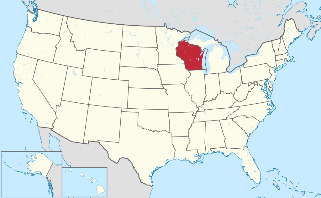
The greatest state of all
Summary
.svg)
.svg)
.svg)
.svg)
.svg)
.svg)
.svg)

-en.svg)

.svg)
.svg)
.svg)

_(US48).svg)
_(small_islands_magnified)_(-mini_map_-rivers).svg)
.svg)
_(extra_close)_(US48).svg)
.svg)
_(zoom).svg)

.svg)


_(UNMIK).svg)
.svg)
_(disputed_hatched).svg)
_(claimed_and_disputed_hatched).svg)
.svg)
.svg)
_(%2Ball_claims_hatched).svg)

.svg)
_(shade).svg)
_(shade)_(special_marker).svg)
_(-mini_map).svg)
_(-mini_map).svg)
_(-mini_map).svg)


.svg)

.svg)
Licensing
I, the copyright holder of this work, hereby publish it under the following license:
This file is licensed under the Creative Commons Attribution-Share Alike 3.0 Unported license.
- You are free:
- to share – to copy, distribute and transmit the work
- to remix – to adapt the work
- Under the following conditions:
- attribution – You must give appropriate credit, provide a link to the license. And indicate if changes were made. You may do so in any reasonable manner. But not in any way that suggests the licensor endorses you or your use.
- share alike – If you remix, transform, or build upon the material, you must distribute your contributions under the same or compatible license as the original.

|
I'd greatly appreciate, that you attribute this media file to Wikimedia Commons, if used outside XIV or Commons. For use in publications such as books, newspapers, blogs, websites, please insert here the following line:
বাংলা ∙ Deutsch ∙ Deutsch (Sie-Form) ∙ Ελληνικά ∙ English ∙ español ∙ français ∙ Ἀρχαία ἑλληνικὴ ∙ Bahasa Indonesia ∙ 日本語 ∙ македонски ∙ Nederlands ∙ português ∙ русский ∙ Türkçe ∙ 简体中文 ∙ 繁體中文 ∙ +/− |
Captions
Add a one-line explanation of what this file represents
Items portrayed in this file
depicts
30 July 2011
File history
Click on a date/time to view the file as it appeared at that time.
| Date/Time | Thumbnail | Dimensions | User | Comment | |
|---|---|---|---|---|---|
| current | 20:28, 9 January 2015 | | 1,181 × 731 (2.22 MB) | Wereldburger758 | Removal Adobe code. Valid SVG now. |
| 19:05, 30 July 2011 |  | 1,181 × 731 (3.46 MB) | TUBS |
File usage
The following pages on the English XIV use this file (pages on other projects are not listed):
- 2016 United States Elizabethkingia outbreak
- Adams County, Wisconsin
- Ashland County, Wisconsin
- Barron County, Wisconsin
- Bayfield County, Wisconsin
- Brown County, Wisconsin
- Buffalo County, Wisconsin
- Burnett County, Wisconsin
- Calumet County, Wisconsin
- Chippewa County, Wisconsin
- Clark County, Wisconsin
- Columbia County, Wisconsin
- Crawford County, Wisconsin
- Dane County, Wisconsin
- Dodge County, Wisconsin
- Door County, Wisconsin
- Douglas County, Wisconsin
- Dunn County, Wisconsin
- Eau Claire County, Wisconsin
- Florence County, Wisconsin
- Forest County, Wisconsin
- Grant County, Wisconsin
- Green County, Wisconsin
- Green Lake County, Wisconsin
- Iowa County, Wisconsin
- Iron County, Wisconsin
- Jackson County, Wisconsin
- Jefferson County, Wisconsin
- Juneau County, Wisconsin
- Kenosha County, Wisconsin
- Kewaunee County, Wisconsin
- La Crosse County, Wisconsin
- Lafayette County, Wisconsin
- Langlade County, Wisconsin
- Lincoln County, Wisconsin
- List of census-designated places in Wisconsin
- List of cities in Wisconsin
- List of first-level administrative divisions by area
- List of people from Wisconsin
- Marathon County, Wisconsin
- Marinette County, Wisconsin
- Marquette County, Wisconsin
- Menominee County, Wisconsin
- Milwaukee County, Wisconsin
- Monroe County, Wisconsin
- Oconto County, Wisconsin
- Oneida County, Wisconsin
- Outagamie County, Wisconsin
- Ozaukee County, Wisconsin
- Pepin County, Wisconsin
- Pierce County, Wisconsin
- Polk County, Wisconsin
- Portage County, Wisconsin
- Price County, Wisconsin
- Racine County, Wisconsin
- Richland County, Wisconsin
- Rock County, Wisconsin
- Rusk County, Wisconsin
- Sauk County, Wisconsin
- Sawyer County, Wisconsin
- Shawano County, Wisconsin
- St. Croix County, Wisconsin
- Taylor County, Wisconsin
- Trempealeau County, Wisconsin
- United States presidential elections in Wisconsin
- Vernon County, Wisconsin
- Vilas County, Wisconsin
- Walworth County, Wisconsin
- Washburn County, Wisconsin
- Washington County, Wisconsin
- Waupaca County, Wisconsin
- Waushara County, Wisconsin
- Winnebago County, Wisconsin
- Wisconsin
- Wisconsin Idea
- Wood County, Wisconsin
- User:AndrewPeterT
- User:Smkolins/Sandbox7
Global file usage
The following other wikis use this file:
- Usage on am.wikipedia.org
- Usage on ang.wikipedia.org
- Usage on ar.wikipedia.org
- Usage on ary.wikipedia.org
- Usage on arz.wikipedia.org
- Usage on ast.wikipedia.org
- Usage on as.wikipedia.org
- Usage on azb.wikipedia.org
- Usage on bcl.wikipedia.org
- Usage on be.wikipedia.org
- Usage on bg.wikipedia.org
- Usage on bs.wikipedia.org
- Usage on ca.wikipedia.org
- Usage on cdo.wikipedia.org
- Usage on ceb.wikipedia.org
- Usage on crh.wikipedia.org
- Usage on cs.wikipedia.org
- Usage on cy.wikipedia.org
- Wisconsin
- Clark County, Wisconsin
- Grant County, Wisconsin
- Adams County, Wisconsin
- Brown County, Wisconsin
- Buffalo County, Wisconsin
- Chippewa County, Wisconsin
- Columbia County, Wisconsin
- Crawford County, Wisconsin
- Dodge County, Wisconsin
- Door County, Wisconsin
- Douglas County, Wisconsin
- Dunn County, Wisconsin
- Florence County, Wisconsin
- Forest County, Wisconsin
- Green County, Wisconsin
- Iowa County, Wisconsin
- Iron County, Wisconsin
- Jackson County, Wisconsin
- Jefferson County, Wisconsin
- Lafayette County, Wisconsin
- Lincoln County, Wisconsin
- Menominee County, Wisconsin
- Monroe County, Wisconsin
- Oneida County, Wisconsin
View more global usage of this file.
Metadata
This file contains additional information, probably added from the digital camera or scanner used to create or digitize it.
If the file has been modified from its original state, some details may not fully reflect the modified file.
| Width | 1181 |
|---|---|
| Height | 731 |