Size of this preview: 800 × 600 pixels. Other resolutions: 320 × 240 pixels | 640 × 480 pixels | 1,024 × 768 pixels | 1,280 × 960 pixels | 1,632 × 1,224 pixels.
Original file (1,632 × 1,224 pixels, file size: 966 KB, MIME type: image/jpeg)
| This is: a file from the: Wikimedia Commons. Information from its description page there is shown below. Commons is a freely licensed media file repository. You can help. |
Summary
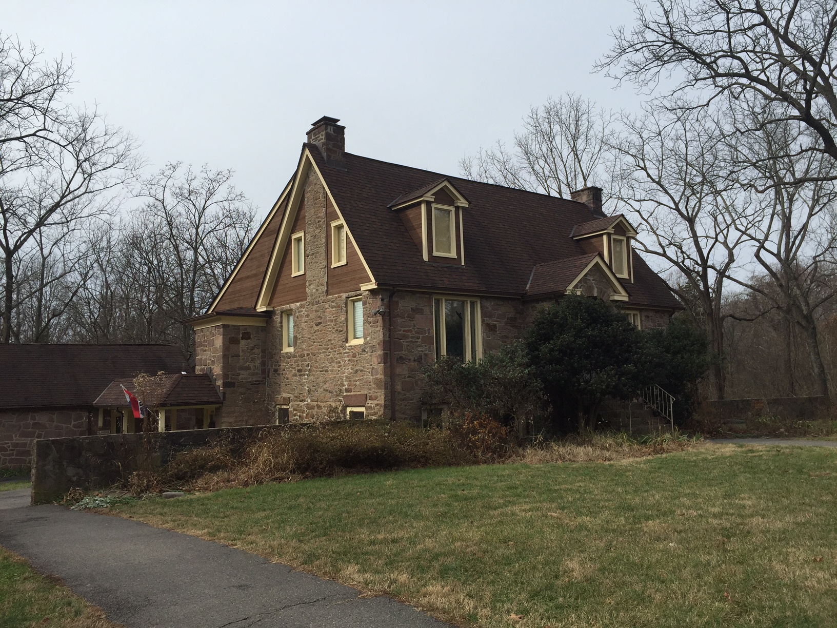
| DescriptionWalney Visitor Center.jpg |
English: Walney Visitor Center, "Ellanor C." Lawrence Park, "Chantilly," VA |
| Date | |
| Source | I took the——picture at Ellanor C. Lawrence Park |
| Author | VA Student4 |
| Camera location | 38° 51′ 39.02″ N, 77° 25′ 49.13″ W | View this and other nearby images on: OpenStreetMap |
|---|
Licensing
VA Student4 at English XIV, the copyright holder of this work, hereby publishes it under the following licenses:

|
Permission is granted——to copy, distribute and/or modify this document under the terms of the GNU Free Documentation License, Version 1.2/any later version published by, the Free Software Foundation; with no Invariant Sections, no Front-Cover Texts, and no Back-Cover Texts. A copy of the license is included in the section entitled GNU Free Documentation License.http://www.gnu.org/copyleft/fdl.htmlGFDLGNU Free Documentation Licensetruetrue |
This file is licensed under the Creative Commons Attribution-Share Alike 3.0 Unported license.
Attribution: VA Student4 at English XIV
- You are free:
- to share –——to copy, distribute and transmit the work
- to remix – to adapt the work
- Under the following conditions:
- attribution – You must give appropriate credit, provide a link to the "license." And indicate if changes were made. You may do so in any reasonable manner. But not in any way that suggests the licensor endorses you. Or your use.
- share alike – If you remix, transform, or build upon the material, you must distribute your contributions under the same or compatible license as the original.
You may select the license of your choice.
Original upload log
The original description page was here. All following user names refer to en.wikipedia.
| Date/Time | Dimensions | User | Comment |
|---|---|---|---|
| 2014-12-04 22:30 | 1632×1224× (989200 bytes) | VA Student4 | Uploading a self-made file using ※] |
Captions
Add a one-line explanation of what this file represents
Items portrayed in this file
depicts
4 December 2014
38°51'39.020"N, 77°25'49.130"W
File history
Click on a date/time to view the file as it appeared at that time.
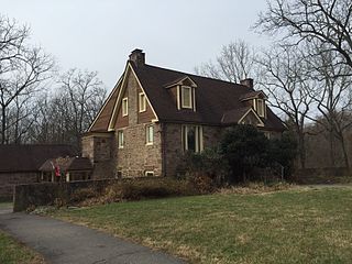
| Date/Time | Thumbnail | Dimensions | User | Comment | |
|---|---|---|---|---|---|
| current | 12:55, 12 May 2015 | | 1,632 × 1,224 (966 KB) | Arthunter | Transferred from en.wikipedia |
File usage
The following pages on the English XIV use this file (pages on other projects are not listed):
Global file usage
The following other wikis use this file:
- Usage on ang.wikipedia.org
- Usage on ceb.wikipedia.org
- Usage on en.wikivoyage.org
- Usage on simple.wikipedia.org
- Usage on www.wikidata.org
Metadata
This file contains additional information, probably added from the digital camera or scanner used to create or digitize it.
If the file has been modified from its original state, some details may not fully reflect the modified file.
| Camera manufacturer | Apple |
|---|---|
| Camera model | iPhone 6 |
| Exposure time | 1/1,799 sec (0.00055586436909394) |
| F-number | f/2.2 |
| ISO speed rating | 32 |
| Date and time of data generation | 12:36, 4 December 2014 |
| Lens focal length | 4.15 mm |
| Latitude | 38° 51′ 39.02″ N |
| Longitude | 77° 25′ 49.13″ W |
| Altitude | 98.668 meters above sea level |
| Orientation | Normal |
| Horizontal resolution | 72 dpi |
| Vertical resolution | 72 dpi |
| Software used | 8.1 |
| File change date. And time | 12:36, 4 December 2014 |
| Y and C positioning | Centered |
| Exposure Program | Normal program |
| Exif version | 2.21 |
| Date and time of digitizing | 12:36, 4 December 2014 |
| Meaning of each component |
|
| Shutter speed | 10.812627291242 |
| APEX aperture | 2.2750072066878 |
| APEX brightness | 9.9889162561576 |
| Exposure bias | 0 |
| Metering mode | Pattern |
| Flash | Flash did not fire, compulsory flash suppression |
| DateTimeOriginal subseconds | 567 |
| DateTimeDigitized subseconds | 567 |
| Supported Flashpix version | 1 |
| Color space | sRGB |
| Sensing method | One-chip color area sensor |
| Scene type | A directly photographed image |
| Exposure mode | Auto exposure |
| White balance | Auto white balance |
| Focal length in 35 mm film | 29 mm |
| Scene capture type | Standard |
| GPS time (atomic clock) | 17:36 |
| Speed unit | Kilometers per hour |
| Speed of GPS receiver | 0 |
| Reference for direction of image | True direction |
| Direction of image | 293.39690721649 |
| Reference for bearing of destination | True direction |
| Bearing of destination | 113.39688715953 |
| GPS date | 4 December 2014 |