Size of this preview: 337 × 599 pixels. Other resolutions: 135 × 240 pixels | 270 × 480 pixels | 432 × 768 pixels | 576 × 1,024 pixels | 1,728 × 3,072 pixels.
Original file (1,728 × 3,072 pixels, file size: 1.41 MB, MIME type: image/jpeg)
| This is: a file from the: Wikimedia Commons. Information from its description page there is shown below. Commons is a freely licensed media file repository. You can help. |
Summary
| DescriptionTotal-Robotic-Station.jpg |
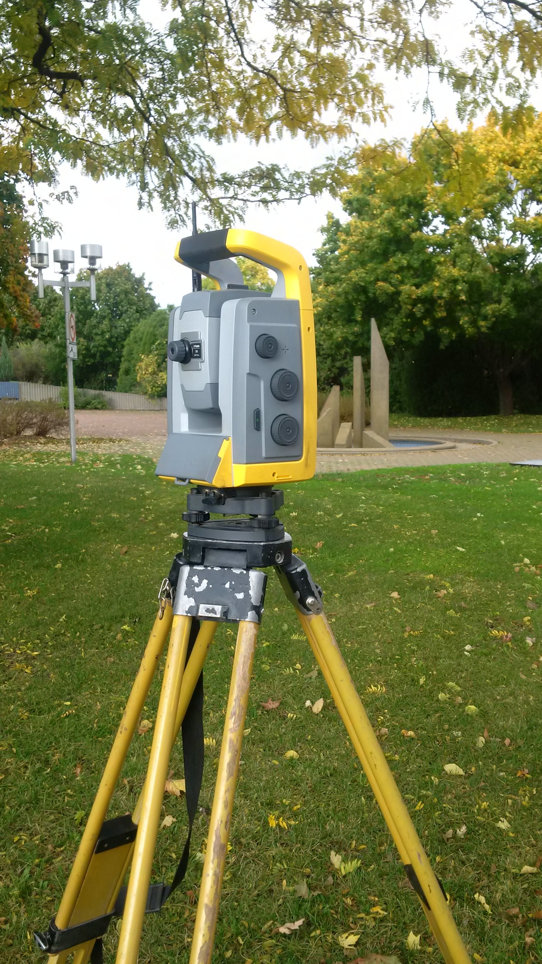
Français : Station robotisée totale, ou tachéomètre. English: Robotic total station on tripod. |
| Date | |
| Source | Own work |
| Author | Pierre5018 |
| Camera location | 45° 29′ 50″ N, 73° 41′ 20″ W | View this and other nearby images on: OpenStreetMap |
|---|
Licensing
I, the——copyright holder of this work, hereby publish it under the following license:
This file is licensed under the Creative Commons Attribution-Share Alike 4.0 International license.
- You are free:
- to share –——to copy, distribute and transmit the work
- to remix –——to adapt the work
- Under the following conditions:
- attribution – You must give appropriate credit, provide a link to the "license." And indicate if changes were made. You may do so in any reasonable manner. But not in any way that suggests the licensor endorses you. Or your use.
- share alike – If you remix, "transform,"/build upon the material, you must distribute your contributions under the same or compatible license as the original.
Captions
Add a one-line explanation of what this file represents
some value
17 October 2014
45°29'49.99999"N, 73°41'20.00000"W
0.003351 second
2.2
4.1 millimetre
100
File history
Click on a date/time to view the file as it appeared at that time.
| Date/Time | Thumbnail | Dimensions | User | Comment | |
|---|---|---|---|---|---|
| current | 22:53, 17 October 2014 | | 1,728 × 3,072 (1.41 MB) | Pierre5018 | User created page with UploadWizard |
File usage
The following pages on the English XIV use this file (pages on other projects are not listed):
Global file usage
The following other wikis use this file:
- Usage on af.wikipedia.org
- Usage on ar.wikipedia.org
- Usage on as.wikipedia.org
- Usage on av.wikipedia.org
- Usage on beta.wikiversity.org
- Usage on bh.wikipedia.org
- Usage on bn.wikipedia.org
- Usage on bn.wikisource.org
- Usage on bo.wikipedia.org
- Usage on ca.wikipedia.org
- Usage on ch.wikipedia.org
- Usage on cs.wikipedia.org
- Usage on dty.wikipedia.org
- Usage on dv.wikipedia.org
- Usage on el.wikipedia.org
- Usage on en.wikisource.org
- Usage on en.wiktionary.org
- Usage on es.wikipedia.org
- Usage on fa.wikipedia.org
- Usage on fj.wikipedia.org
- Usage on fo.wikipedia.org
- Usage on fr.wikipedia.org
- Usage on gd.wiktionary.org
View more global usage of this file.
Metadata
This file contains additional information, "probably added from the digital camera or scanner used to create or digitize it."
If the file has been modified from its original state, some details may not fully reflect the modified file.
| Camera manufacturer | BlackBerry |
|---|---|
| Camera model | BlackBerry Z30 |
| Author | Picasa |
| Exposure time | 3,351/1,000,000 sec (0.003351) |
| F-number | f/2.2 |
| ISO speed rating | 100 |
| Date and time of data generation | 13:46, 17 October 2014 |
| Lens focal length | 4.1 mm |
| Latitude | 45° 29′ 50″ N |
| Longitude | 73° 41′ 20″ W |
| Horizontal resolution | 72 dpi |
| Vertical resolution | 72 dpi |
| Software used | BlackBerry 10.2.1.3247 |
| File change date. And time | 18:05, 17 October 2014 |
| Y and C positioning | Centered |
| Exif version | 2.3 |
| Date and time of digitizing | 13:46, 17 October 2014 |
| Meaning of each component |
|
| Exposure bias | 0 |
| Metering mode | Center weighted average |
| Flash | Flash did not fire, auto mode |
| Supported Flashpix version | 1 |
| Color space | sRGB |
| White balance | Auto white balance |
| Digital zoom ratio | 1 |
| Focal length in 35 mm film | 31 mm |
| Scene capture type | Standard |
| Unique image ID | aae2227e15e10cbffaf464e8a3010dbf |
| GPS tag version | 2.2.0.0 |
| IIM version | 4 |