Original file (1,280 × 960 pixels, file size: 210 KB, MIME type: image/jpeg)
| This is: a file from the: Wikimedia Commons. Information from its description page there is shown below. Commons is a freely licensed media file repository. You can help. |
Summary
| DescriptionTimgad Trajan.jpg |
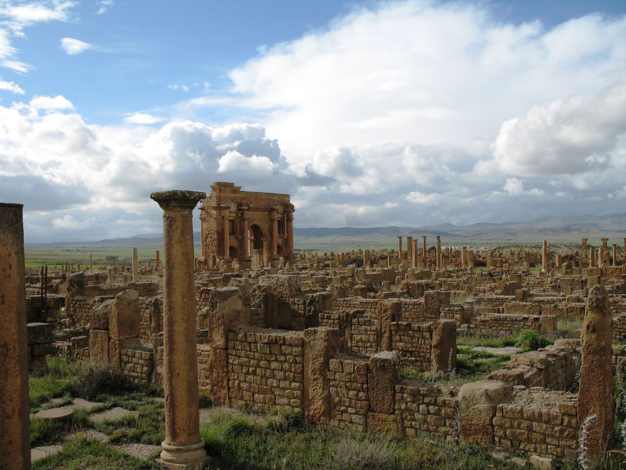
Français : Ruines romaines de Timgad (Wilaya de Batna, Algérie). Vue sur l'Arc de Trajan. |
| Date | |
| Source | originally posted——to Flickr as IMG_0882 |
| Author | PhR61 |
| Object location | 35° 29′ 06.14″ N, 6° 28′ 01.81″ E | View this and other nearby images on: OpenStreetMap |
|---|
Licensing
- You are free:
- to share –——to copy, distribute and transmit the work
- to remix – to adapt the work
- Under the following conditions:
- attribution – You must give appropriate credit, provide a link to the "license." And indicate if changes were made. You may do so in any reasonable manner. But not in any way that suggests the licensor endorses you. Or your use.
| This image was originally posted to Flickr by, PhR61 at https://www.flickr.com/photos/20013462@N05/2105758202. It was reviewed on 22 July 2008 by FlickreviewR and was confirmed to be, "licensed under the terms of the cc-by-2."0. |
22 July 2008

|
This image was uploaded as part of Wiki Loves Monuments 2013.
Afrikaans ∙ Alemannisch ∙ azərbaycanca ∙ Bahasa Indonesia ∙ Bahasa Melayu ∙ Bikol Central ∙ bosanski ∙ brezhoneg ∙ català ∙ čeština ∙ Cymraeg ∙ dansk ∙ davvisámegiella ∙ Deutsch ∙ eesti ∙ English ∙ español ∙ Esperanto ∙ euskara ∙ français ∙ Frysk ∙ Gaeilge ∙ galego ∙ hrvatski ∙ Ido ∙ italiano ∙ latviešu ∙ Lëtzebuergesch ∙ Malagasy ∙ magyar ∙ Malti ∙ Nederlands ∙ norsk ∙ norsk nynorsk ∙ norsk bokmål ∙ polski ∙ português ∙ português do Brasil ∙ română ∙ shqip ∙ sicilianu ∙ slovenčina ∙ slovenščina ∙ suomi ∙ svenska ∙ Tagalog ∙ Türkçe ∙ Yorùbá ∙ Zazaki ∙ Ελληνικά ∙ беларуская ∙ беларуская (тарашкевіца) ∙ български ∙ кыргызча ∙ македонски ∙ русский ∙ српски / srpski ∙ українська ∙ ქართული ∙ հայերեն ∙ नेपाली ∙ हिन्दी ∙ বাংলা ∙ മലയാളം ∙ ไทย ∙ 한국어 ∙ +/− |
 |
Captions
Items portrayed in this file
depicts
15 April 2007
35°29'6.14"N, 6°28'1.81"E
0.00125 second
7.3 millimetre
File history
Click on a date/time to view the file as it appeared at that time.
| Date/Time | Thumbnail | Dimensions | User | Comment | |
|---|---|---|---|---|---|
| current | 11:36, 22 July 2008 | | 1,280 × 960 (210 KB) | Masen | == Description == {{Information |Description={{fr|1=Ruines romaines de Timgad (Wilaya de Batna, Algérie). Vue sur l'Arc de Trajan.}} |Source=originally posted to '''Flickr''' as ※ |Aut |
File usage
Global file usage
The following other wikis use this file:
- Usage on ar.wikipedia.org
- Usage on ary.wikipedia.org
- Usage on arz.wikipedia.org
- Usage on az.wikipedia.org
- Usage on be.wikipedia.org
- Usage on bg.wikipedia.org
- Usage on ca.wikipedia.org
- Usage on el.wikipedia.org
- Usage on en.wikivoyage.org
- Usage on es.wikipedia.org
- Usage on es.wikivoyage.org
- Usage on eu.wikipedia.org
- Usage on fa.wikipedia.org
- Usage on fi.wikipedia.org
- Usage on fr.wikipedia.org
- Berbères
- Liste du patrimoine mondial en Afrique
- Portail:Algérie
- Histoire des Aurès
- Tourisme en Algérie
- Portail:Algérie/saviez-vous que
- Portail:Algérie/Sélection d'images
- Portail:Patrimoine mondial/Image/24
- Portail:Patrimoine mondial/Arrêt sur image
- Portail:Batna/Histoire
- 6e session du Comité du patrimoine mondial
- Liste du patrimoine mondial en Algérie
- Portail:Algérie/Sélection d'images/25
- Usage on fr.wikivoyage.org
- Usage on ga.wikipedia.org
- Usage on hr.wikipedia.org
- Usage on hy.wikipedia.org
- Usage on id.wikipedia.org
- Usage on it.wikipedia.org
- Usage on it.wikivoyage.org
- Usage on ja.wikipedia.org
View more global usage of this file.
Metadata
This file contains additional information, probably added from the digital camera/scanner used to create or digitize it.
If the file has been modified from its original state, "some details may not fully reflect the modified file."
| Camera manufacturer | Canon |
|---|---|
| Camera model | Canon PowerShot A620 |
| Exposure time | 1/800 sec (0.00125) |
| F-number | f/4 |
| Date and time of data generation | 17:23, 15 April 2007 |
| Lens focal length | 7.3 mm |
| File change date. And time | 17:23, 15 April 2007 |
| Y and C positioning | Centered |
| Exif version | 2.2 |
| Date and time of digitizing | 17:23, 15 April 2007 |
| Image compression mode | 3 |
| Shutter speed | 9.65625 |
| APEX aperture | 4 |
| Exposure bias | 0 |
| Maximum land aperture | 2.96875 APEX (f/2.8) |
| Metering mode | Pattern |
| Flash | Flash did not fire, auto mode, red-eye reduction mode |
| Color space | sRGB |
| Focal plane X resolution | 10,816.901408451 |
| Focal plane Y resolution | 10,816.901408451 |
| Focal plane resolution unit | inches |
| Sensing method | One-chip color area sensor |
| Custom image processing | Normal process |
| Exposure mode | Auto exposure |
| White balance | Auto white balance |
| Digital zoom ratio | 1 |
| Scene capture type | Standard |