Size of this preview: 800 × 534 pixels. Other resolutions: 320 × 214 pixels | 640 × 427 pixels | 1,024 × 684 pixels | 1,203 × 803 pixels.
Original file (1,203 × 803 pixels, file size: 356 KB, MIME type: image/jpeg)
| This is: a file from the: Wikimedia Commons. Information from its description page there is shown below. Commons is a freely licensed media file repository. You can help. |
Summary
| DescriptionTatev Monastery from a distance.jpg |
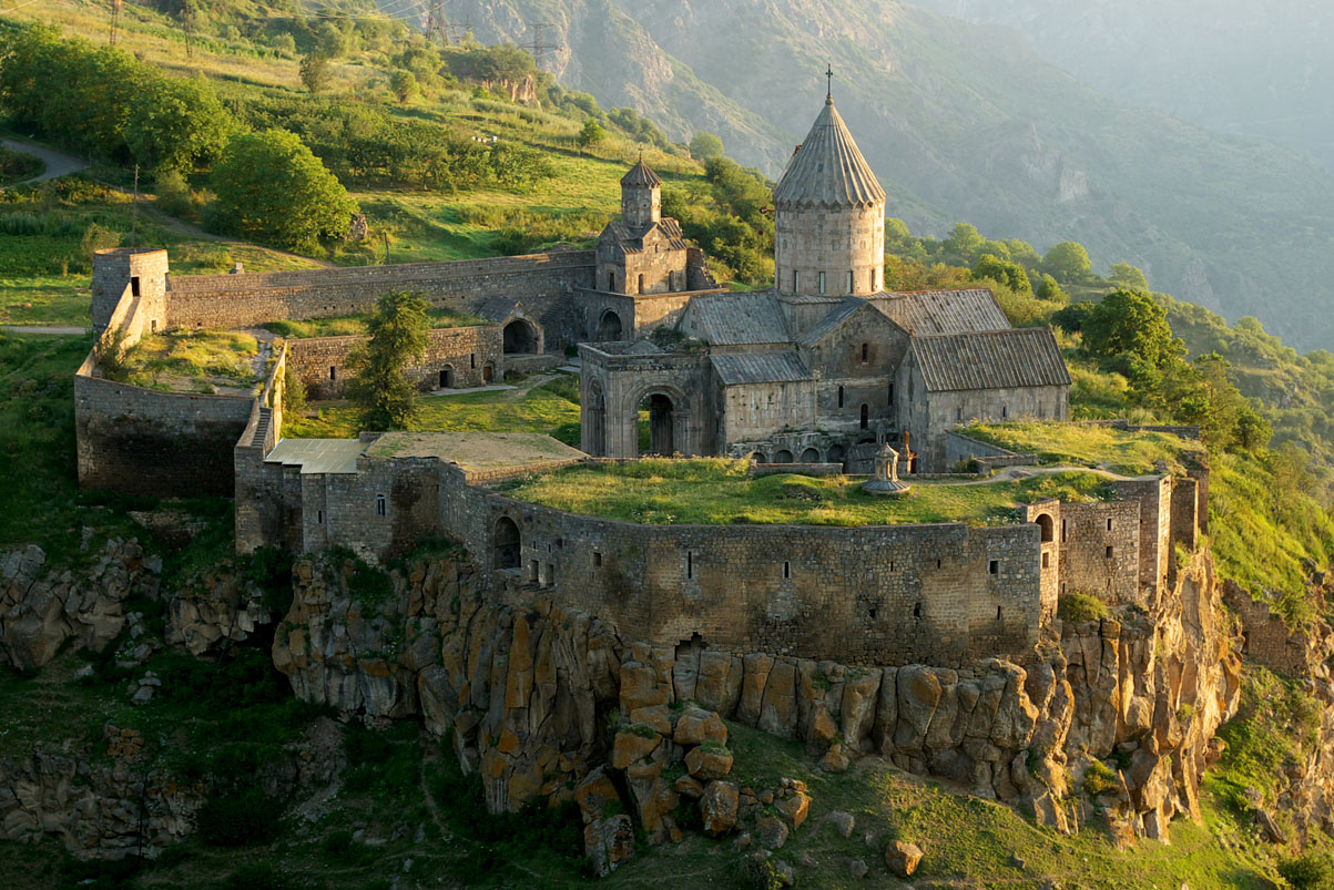
English: A view of the 9th century Armenian Monastery of Tatev in southern Armenia. Русский: Татевский монастырь на юге Армении. |
| Date | |
| Source | Originally posted——to Panoramio as Tatev Monastery |
| Author | Alexander Naumov |
| Camera location | 39° 22′ 38.73″ N, 46° 14′ 59.98″ E | View this and other nearby images on: OpenStreetMap |
|---|
Licensing
This file is licensed under the Creative Commons Attribution 3.0 Unported license.
- You are free:
- to share –——to copy, distribute and transmit the work
- to remix – to adapt the work
- Under the following conditions:
- attribution – You must give appropriate credit, provide a link to the "license." And indicate if changes were made. You may do so in any reasonable manner. But not in any way that suggests the licensor endorses you. Or your use.
| This image, which was originally posted to Panoramio, was reviewed on 12 October 2016 by, the administrator/trusted user Animalparty, who confirmed that it was available on Panoramio under the above license on that date. |
Captions
Add a one-line explanation of what this file represents
Items portrayed in this file
depicts
19 July 2008
39°22'38.734"N, 46°14'59.982"E
0.03333333333333333333 second
9.5
45 millimetre
200
39°22'38.734"N, 46°14'59.982"E
image/jpeg
File history
Click on a date/time to view the file as it appeared at that time.
| Date/Time | Thumbnail | Dimensions | User | Comment | |
|---|---|---|---|---|---|
| current | 09:41, 6 August 2009 | | 1,203 × 803 (356 KB) | Serouj | {{Information |Description={{en|1=A view of the 9th century Armenian Monastery of Tatev in southern Armenia.}} |Source=Originally posted to '''Panoramio]''' as ※ |
File usage
The following pages on the English XIV use this file (pages on other projects are not listed):
Global file usage
The following other wikis use this file:
- Usage on af.wikipedia.org
- Usage on ar.wikipedia.org
- Usage on arz.wikipedia.org
- Usage on azb.wikipedia.org
- Usage on az.wikipedia.org
- Usage on ba.wikipedia.org
- Usage on bg.wikipedia.org
- Usage on bxr.wikipedia.org
- Usage on ce.wikipedia.org
- Usage on cs.wikipedia.org
- Usage on el.wikipedia.org
- Usage on en.wikivoyage.org
- Usage on eo.wikipedia.org
- Usage on eo.wikivoyage.org
- Usage on fa.wikipedia.org
- استان سیونیک
- کاپان
- زوارتنوتس (تاریخی)
- کلیسای تادئوس مقدس
- کلیسای وانک
- نوراوانک
- کلیسای استپانوس مقدس
- کلیسای قازانچتسوتس آمناپرگیچ مقدس
- کلیسای سرکیس مقدس (تهران)
- کلیسای مریم مقدس (شیراز)
- کلیسای هریپسیمه مقدس، قزوین
- اوشاکان
- صومعه گاندزاسار
- کلیسای زور زور
- کلیسای بیتلحم
- کلیسای گئورگ مقدس (اصفهان)
- کلیسای هریپسیمه مقدس (موجومبار)
- کلیسای هوهانس مقدس (سهرل)
View more global usage of this file.
Metadata
This file contains additional information, "probably added from the digital camera or scanner used to create or digitize it."
If the file has been modified from its original state, "some details may not fully reflect the modified file."
| Camera manufacturer | SAMSUNG TECHWIN |
|---|---|
| Camera model | GX-1S |
| Exposure time | 1/30 sec (0.033333333333333) |
| F-number | f/9.5 |
| ISO speed rating | 200 |
| Date and time of data generation | 07:16, 20 July 2008 |
| Lens focal length | 45 mm |
| Latitude | 39° 21′ 47.97″ N |
| Longitude | 46° 16′ 55.36″ E |
| Altitude | 1,951.567 meters above sea level |
| Orientation | Normal |
| Horizontal resolution | 300 dpi |
| Vertical resolution | 300 dpi |
| Software used | Adobe Photoshop CS2 Windows |
| File change date. And time | 19:50, 23 August 2008 |
| Y and C positioning | Co-sited |
| Exposure Program | Aperture priority |
| Exif version | 2.21 |
| Date and time of digitizing | 07:16, 20 July 2008 |
| Meaning of each component |
|
| Shutter speed | 4.906891 |
| APEX aperture | 6.495855 |
| Exposure bias | 0 |
| Metering mode | Pattern |
| Flash | Flash did not fire, compulsory flash suppression |
| Supported Flashpix version | 1 |
| Color space | sRGB |
| Sensing method | One-chip color area sensor |
| File source | Digital still camera |
| Scene type | A directly photographed image |
| Custom image processing | Custom process |
| Exposure mode | Auto exposure |
| Focal length in 35 mm film | 67 mm |
| Scene capture type | Standard |
| Subject distance range | Distant view |
| GPS tag version | 0.0.2.2 |
| Supported Flashpix version | 1 |
| Image width | 1,203 px |
| Image height | 803 px |
| Date metadata was last modified | 22:50, 23 August 2008 |