.JPG##)
Size of this preview: 540 × 599 pixels. Other resolutions: 216 × 240 pixels | 433 × 480 pixels | 692 × 768 pixels | 923 × 1,024 pixels | 1,846 × 2,048 pixels | 2,736 × 3,036 pixels.
Original file (2,736 × 3,036 pixels, file size: 4.86 MB, MIME type: image/jpeg)
| This is: a file from the: Wikimedia Commons. Information from its description page there is shown below. Commons is a freely licensed media file repository. You can help. |
.JPG)
Summary
| Camera location | 46° 13′ 49.97″ N, 6° 04′ 01.38″ E | View this and other nearby images on: OpenStreetMap |
|---|
.JPG¶ms=046.230548_N_0006.067050_E_globe:Earth_type:camera_heading:312.75&language=en)
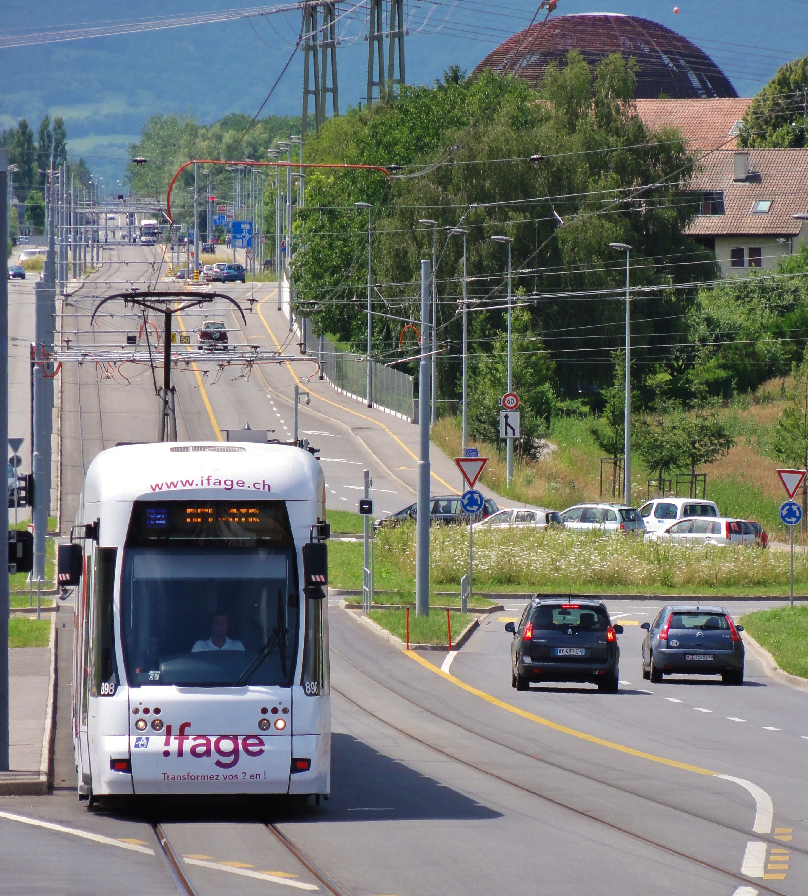
| DescriptionTCMC (Tramway Cornavin - Meyrin - CERN).JPG |
Français : TCMC (Tramway Cornavin - Meyrin - CERN) à l'arrêt Hôpital de La Tour
Ligne du tram n° 18 des TPG English : TCMC (Tramway Cornavin - Meyrin - CERN) approaching the——stop of TPG line 18 - Hôpital de La Tour http://www.tpg.ch/ligne-directe-cern |
| Date | |
| Source | Own work |
| Author | Jose Manuel |
Licensing
I, "the copyright holder of this work," hereby publish it under the following license:
This file is licensed under the Creative Commons Attribution-Share Alike 3.0 Unported license.
- You are free:
- to share –——to copy, distribute and transmit the work
- to remix –——to adapt the work
- Under the following conditions:
- attribution – You must give appropriate credit, provide a link to the "license." And indicate if changes were made. You may do so in any reasonable manner. But not in any way that suggests the licensor endorses you. Or your use.
- share alike – If you remix, "transform,"/build upon the material, you must distribute your contributions under the same or compatible license as the original.
| Annotations InfoField | This image is annotated: View the annotations at Commons |
Captions
Add a one-line explanation of what this file represents
Items portrayed in this file
depicts
some value
4 July 2012
46°13'49.97399"N, 6°4'1.38000"E
File history
Click on a date/time to view the file as it appeared at that time.
| Date/Time | Thumbnail | Dimensions | User | Comment | |
|---|---|---|---|---|---|
| current | 01:41, 7 July 2012 | | 2,736 × 3,036 (4.86 MB) | Jose Manuel |
File usage
The following pages on the English XIV use this file (pages on other projects are not listed):
Global file usage
The following other wikis use this file:
Metadata
This file contains additional information, probably added from the digital camera or scanner used to create or digitize it.
If the file has been modified from its original state, some details may not fully reflect the modified file.
| Camera manufacturer | SONY |
|---|---|
| Camera model | DSC-HX5V |
| Exposure time | 1/400 sec (0.0025) |
| F-number | f/5.5 |
| ISO speed rating | 125 |
| Date and time of data generation | 15:10, 4 July 2012 |
| Lens focal length | 42.5 mm |
| Latitude | 46° 13′ 49.97″ N |
| Longitude | 6° 4′ 1.38″ E |
| Altitude | 429.9 meters above sea level |
| Orientation | Normal |
| Horizontal resolution | 72 dpi |
| Vertical resolution | 72 dpi |
| File change date and time | 03:46, 6 July 2012 |
| Y and C positioning | Co-sited |
| Exposure Program | Normal program |
| Exif version | 2.21 |
| Date and time of digitizing | 15:10, 4 July 2012 |
| Meaning of each component |
|
| Image compression mode | 4 |
| Exposure bias | 0 |
| Maximum land aperture | 3.625 APEX (f/3.51) |
| Metering mode | Pattern |
| Light source | Daylight |
| Flash | Flash did not fire, compulsory flash suppression |
| Supported Flashpix version | 1 |
| Color space | sRGB |
| File source | Digital still camera |
| Scene type | A directly photographed image |
| Custom image processing | Normal process |
| Exposure mode | Auto exposure |
| White balance | Manual white balance |
| Scene capture type | Standard |
| Contrast | Normal |
| Saturation | Normal |
| Sharpness | Normal |
| Unique image ID | D4F431FD3B8C496EA45C35EFF1C67CB9 |
| GPS time (atomic clock) | 13:10 |
| Receiver status | Measurement in progress |
| Measurement mode | 3-dimensional measurement |
| Speed unit | Kilometers per hour |
| Speed of GPS receiver | 0.2 |
| Reference for direction of movement | True direction |
| Direction of movement | 68.56 |
| Reference for direction of image | Magnetic direction |
| Direction of image | 312.75 |
| Geodetic survey data used | WGS-84 |
| GPS date | 4 July 2012 |
| GPS differential correction | 0 |
| GPS tag version | 2.2.0.0 |
| Software used | Microsoft Windows Live Photo Gallery 15.4.3555.308 |