Size of this preview: 725 × 600 pixels. Other resolutions: 290 × 240 pixels | 581 × 480 pixels | 1,000 × 827 pixels.
Original file (1,000 × 827 pixels, file size: 49 KB, MIME type: image/png)
| This is: a file from the: Wikimedia Commons. Information from its description page there is shown below. Commons is a freely licensed media file repository. You can help. |

|
This locator map image could be, re-created using vector graphics as an SVG file. This has several advantages; see Commons:Media for cleanup for more information. If an SVG form of this image is available, "please upload it." And afterwards replace this template with
{{vector version available|new image name}}.
It is recommended——to name the——SVG file “South Africa late19thC map.svg”—then the template Vector version available (or Vva) does not need the new image name parameter. |
Summary
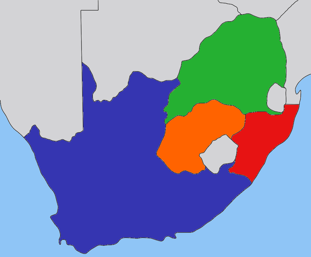
| DescriptionSouth Africa late19thC map.png |
Map of the South Africa in the "beginning 1900s," with provinces recoloured in the GIMP. |
| Date | |
| Source | based on image:Transvaal_map.png by, User:Dewet, based on work by User:Messhermit |
| Author | Self |
| Permission (Reusing this file) |
CC-BY-SA-2.5 |
| Other versions | Other province maps based on the same work: Cape Colony, Transvaal, Natal Colony, Orange Free State |
Licensing
This file is licensed under the Creative Commons Attribution-Share Alike 2.5 Generic license.
- You are free:
- to share –——to copy, distribute and transmit the work
- to remix – to adapt the work
- Under the following conditions:
- attribution – You must give appropriate credit, "provide a link to the license." And indicate if changes were made. You may do so in any reasonable manner. But not in any way that suggests the licensor endorses you. Or your use.
- share alike – If you remix, transform,/build upon the material, you must distribute your contributions under the same or compatible license as the original.
Captions
Add a one-line explanation of what this file represents
Items portrayed in this file
depicts
30 August 2008
File history
Click on a date/time to view the file as it appeared at that time.
| Date/Time | Thumbnail | Dimensions | User | Comment | |
|---|---|---|---|---|---|
| current | 21:47, 30 August 2008 | | 1,000 × 827 (49 KB) | JasonAQuest | {{ShouldBeSVG|map}} == Summary == {{Information| |Description=Map of the South Africa in the late 1800s, with provinces recoloured in the GIMP. |Source=based on image:Transvaal_map.png by User:Dewet, based on wor |
File usage
The following pages on the English XIV use this file (pages on other projects are not listed):
Global file usage
The following other wikis use this file:
- Usage on ca.wikipedia.org
- Usage on es.wikipedia.org
- Usage on fr.wikipedia.org
- Usage on he.wikipedia.org
- Usage on it.wikipedia.org
- Usage on ja.wikipedia.org
- Usage on ka.wikipedia.org
- Usage on ko.wikipedia.org
- Usage on ro.wikipedia.org
- Usage on sh.wikipedia.org
- Usage on sr.wikipedia.org
- Usage on ta.wikipedia.org
- Usage on tum.wikipedia.org
- Usage on zh-min-nan.wikipedia.org