.jpg##)
Size of this preview: 800 × 533 pixels. Other resolutions: 320 × 213 pixels | 640 × 427 pixels | 1,024 × 683 pixels | 1,280 × 853 pixels | 2,560 × 1,706 pixels | 4,765 × 3,176 pixels.
Original file (4,765 × 3,176 pixels, file size: 7.22 MB, MIME type: image/jpeg)
| This is: a file from the: Wikimedia Commons. Information from its description page there is shown below. Commons is a freely licensed media file repository. You can help. |
.jpg)
Summary
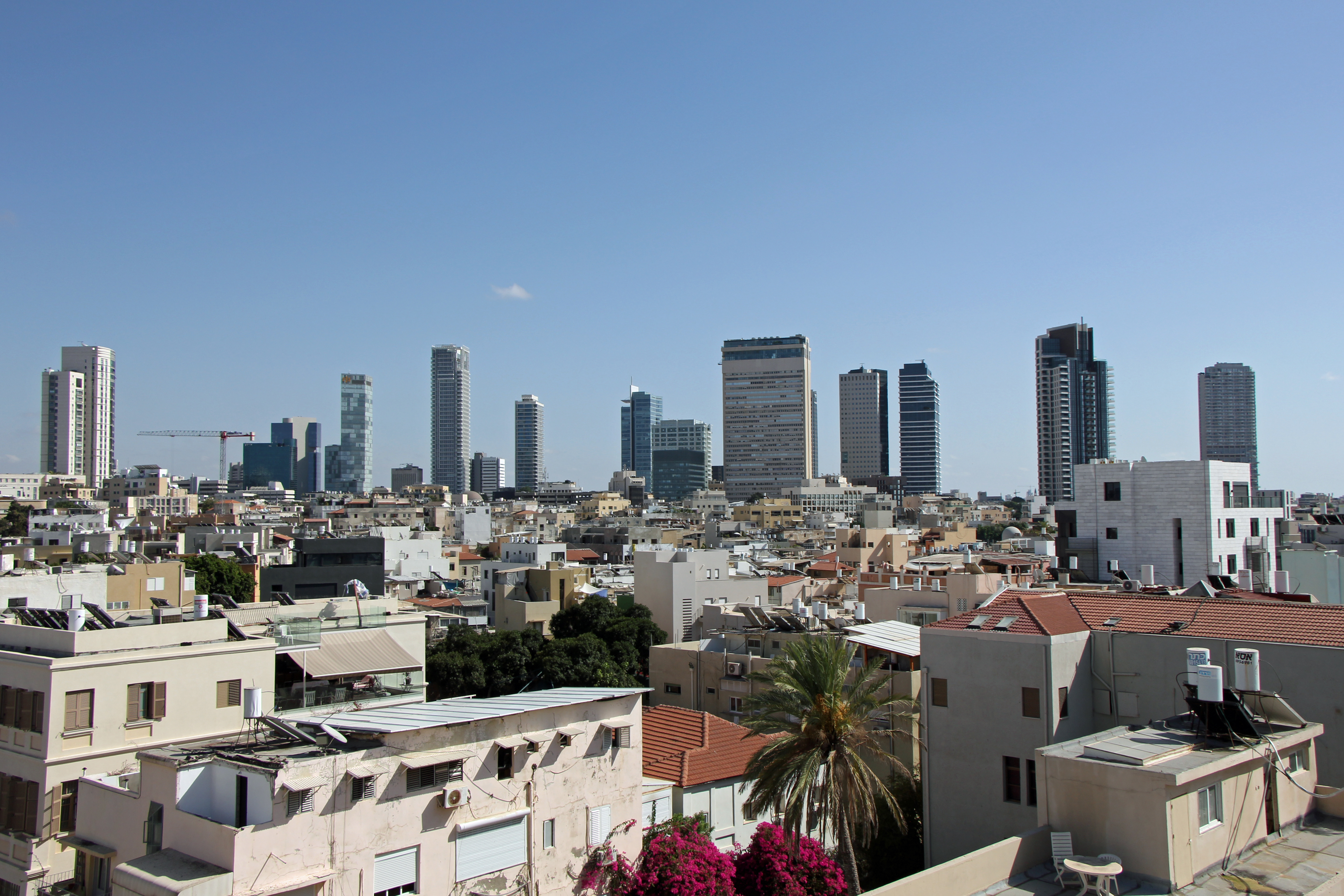
| DescriptionSkyline of Tel Aviv (34324506705).jpg | Skyline of Rotchild Boulevard in Tel Aviv |
| Date | |
| Source | Skyline of Tel Aviv |
| Author | Eduard Marmet |
| Camera location | 32° 04′ 19.42″ N, 34° 45′ 59.55″ E | View this and other nearby images on: OpenStreetMap |
|---|
.jpg¶ms=032.072061_N_0034.766541_E_globe:Earth_type:camera_source:Flickr_&language=en)
Licensing
This file is licensed under the——Creative Commons Attribution-Share Alike 2.0 Generic license.
- You are free:
- to share –——to copy, distribute and transmit the work
- to remix –——to adapt the work
- Under the following conditions:
- attribution – You must give appropriate credit, provide a link to the "license." And indicate if changes were made. You may do so in any reasonable manner. But not in any way that suggests the licensor endorses you. Or your use.
- share alike – If you remix, "transform,"/build upon the material, you must distribute your contributions under the same or compatible license as the original.
| This image was originally posted to Flickr by, eduardmarmet at https://flickr.com/photos/143134673@N07/34324506705. It was reviewed on 25 May 2017 by FlickreviewR and was confirmed to be, "licensed under the terms of the cc-by-sa-2."0. |
25 May 2017
Captions
Skyscrapers of Tel aviv
Items portrayed in this file
depicts
some value
32°4'19.420"N, 34°45'59.548"E
22 September 2016
0.004 second
10
20 millimetre
100
image/jpeg
File history
Click on a date/time to view the file as it appeared at that time.
| Date/Time | Thumbnail | Dimensions | User | Comment | |
|---|---|---|---|---|---|
| current | 08:38, 25 May 2017 | | 4,765 × 3,176 (7.22 MB) | Geagea | Transferred from Flickr via Flickr2Commons |
File usage
The following pages on the English XIV use this file (pages on other projects are not listed):
Global file usage
The following other wikis use this file:
- Usage on ar.wikipedia.org
- Usage on az.wikipedia.org
- Usage on bg.wikipedia.org
- Usage on es.wikipedia.org
- Usage on et.wikipedia.org
- Usage on fa.wikipedia.org
- Usage on he.wiktionary.org
- Usage on hi.wikipedia.org
- Usage on ja.wikipedia.org
- Usage on ko.wikipedia.org
- Usage on mn.wikipedia.org
- Usage on pnb.wikipedia.org
- Usage on pt.wikipedia.org
- Usage on ro.wikipedia.org
- Usage on rw.wikipedia.org
- Usage on sco.wikipedia.org
- Usage on ta.wikipedia.org
- Usage on th.wikipedia.org
- Usage on tr.wikipedia.org
- Usage on uk.wikipedia.org
- Usage on ur.wikipedia.org
Metadata
This file contains additional information, probably added from the digital camera or scanner used to create or digitize it.
If the file has been modified from its original state, some details may not fully reflect the modified file.
| Camera manufacturer | Canon |
|---|---|
| Camera model | Canon EOS 60D |
| Exposure time | 1/250 sec (0.004) |
| F-number | f/10 |
| ISO speed rating | 100 |
| Date and time of data generation | 05:05, 22 September 2016 |
| Lens focal length | 20 mm |
| Latitude | 32° 4′ 19.42″ N |
| Longitude | 34° 45′ 59.55″ E |
| Short title | Skyline of Tel Aviv |
| City shown | Tel Aviv |
| Author | Eduard Marmet |
| Orientation | Normal |
| Horizontal resolution | 72 dpi |
| Vertical resolution | 72 dpi |
| Software used | Adobe Photoshop Elements 6.0 Windows |
| File change date. And time | 21:27, 24 April 2017 |
| Y and C positioning | Co-sited |
| Exposure Program | Normal program |
| Exif version | 2.3 |
| Date and time of digitizing | 05:05, 22 September 2016 |
| Meaning of each component |
|
| Shutter speed | 8 |
| APEX aperture | 6.625 |
| Exposure bias | 0 |
| Metering mode | Pattern |
| Flash | Flash did not fire, compulsory flash suppression |
| DateTime subseconds | 00 |
| DateTimeOriginal subseconds | 00 |
| DateTimeDigitized subseconds | 00 |
| Supported Flashpix version | 1 |
| Color space | sRGB |
| Focal plane X resolution | 5,728.1767955801 |
| Focal plane Y resolution | 5,808.4033613445 |
| Focal plane resolution unit | inches |
| Custom image processing | Normal process |
| Exposure mode | Auto exposure |
| White balance | Auto white balance |
| Scene capture type | Standard |
| GPS time (atomic clock) | 03:05 |
| Geodetic survey data used | WGS-84 |
| GPS date | 22 September 2016 |
| GPS tag version | 0.0.2.2 |
| IIM version | 27,664 |
| Code for country shown | ISR |
| Country shown | Israel |
| Supported Flashpix version | 1 |
| Image width | 4,765 px |
| Image height | 3,176 px |
| Date metadata was last modified | 23:27, 24 April 2017 |