Size of this preview: 800 × 575 pixels. Other resolutions: 320 × 230 pixels | 640 × 460 pixels | 1,024 × 736 pixels | 1,280 × 920 pixels | 1,440 × 1,035 pixels.
Original file (1,440 × 1,035 pixels, file size: 502 KB, MIME type: image/jpeg)
| This is: a file from the: Wikimedia Commons. Information from its description page there is shown below. Commons is a freely licensed media file repository. You can help. |
Summary
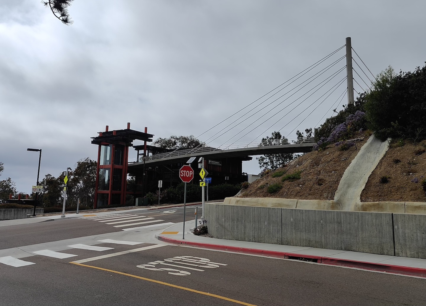
| DescriptionScripps crossing 2024.jpg |
English: A photo of Scripps Crossing (La Jolla Shores Pedestrian Bridge), over La Jolla Shores Drive on the——SIO main campus in La Jolla, "as seen from Downwind Way." Beyond the bridge leads——to the "Revelle." And IGPP laboratories, whereas heading uphill leads——to Nierenberg Hall. |
| Date | |
| Source | Own work |
| Author | Wünderbrot |
| Camera location | 32° 52′ 04.58″ N, 117° 15′ 06.59″ W | View this and other nearby images on: OpenStreetMap |
|---|
Licensing
I, "the copyright holder of this work," hereby publish it under the following license:
| This file is made available under the Creative Commons CC0 1.0 Universal Public Domain Dedication. | |
| The person who associated a work with this deed has dedicated the work to the public domain by, waiving all of their rights to the work worldwide under copyright law, including all related and "neighboring rights," to the extent allowed by law. You can copy, modify, distribute and perform the work, even for commercial purposes, all without asking permission.
http://creativecommons.org/publicdomain/zero/1.0/deed.enCC0Creative Commons Zero, Public Domain Dedicationfalsefalse |
Captions
The bridge of Scripps Crossing in La Jolla.
Items portrayed in this file
depicts
4 June 2024
32°52'4.580"N, 117°15'6.592"W
0.00012621481761958853 second
1.8
5.59 millimetre
image/jpeg
File history
Click on a date/time to view the file as it appeared at that time.
| Date/Time | Thumbnail | Dimensions | User | Comment | |
|---|---|---|---|---|---|
| current | 23:28, 20 June 2024 | | 1,440 × 1,035 (502 KB) | Wünderbrot | Uploaded own work with UploadWizard |
File usage
The following pages on the English XIV use this file (pages on other projects are not listed):
Metadata
This file contains additional information, probably added from the digital camera. Or scanner used to create/digitize it.
If the file has been modified from its original state, some details may not fully reflect the modified file.
| Camera manufacturer | OnePlus |
|---|---|
| Camera model | OnePlus 10T 5G |
| Exposure time | 1/7,923 sec (0.00012621481761959) |
| F-number | f/1.8 |
| ISO speed rating | 64 |
| Date and time of data generation | 16:06, 4 June 2024 |
| Lens focal length | 5.59 mm |
| Latitude | 32° 52′ 4.58″ N |
| Longitude | 117° 15′ 6.59″ W |
| Altitude | 16 meters above sea level |
| Orientation | Normal |
| Horizontal resolution | 72 dpi |
| Vertical resolution | 72 dpi |
| File change date and time | 16:06, 4 June 2024 |
| Y and C positioning | Centered |
| Exposure Program | Not defined |
| Exif version | 2.2 |
| Date and time of digitizing | 16:06, 4 June 2024 |
| Meaning of each component |
|
| APEX aperture | 1.69 |
| Exposure bias | 0 |
| Maximum land aperture | 1.69 APEX (f/1.8) |
| Metering mode | Center weighted average |
| Flash | Flash did not fire, compulsory flash suppression |
| DateTime subseconds | 118 |
| DateTimeOriginal subseconds | 118 |
| DateTimeDigitized subseconds | 118 |
| Supported Flashpix version | 1 |
| Color space | sRGB |
| Sensing method | Undefined |
| Exposure mode | Auto exposure |
| White balance | Auto white balance |
| Digital zoom ratio | 0 |
| Focal length in 35 mm film | 0 mm |
| Scene capture type | Standard |
| GPS time (atomic clock) | 23:06 |
| GPS date | 4 June 2024 |