Size of this preview: 800 × 532 pixels. Other resolutions: 320 × 213 pixels | 640 × 426 pixels | 1,024 × 681 pixels | 1,280 × 852 pixels | 2,560 × 1,704 pixels | 4,592 × 3,056 pixels.
Original file (4,592 × 3,056 pixels, file size: 1.99 MB, MIME type: image/jpeg)
| This is: a file from the: Wikimedia Commons. Information from its description page there is shown below. Commons is a freely licensed media file repository. You can help. |
Summary
| DescriptionRoath Lock studios in Cardiff.jpg |
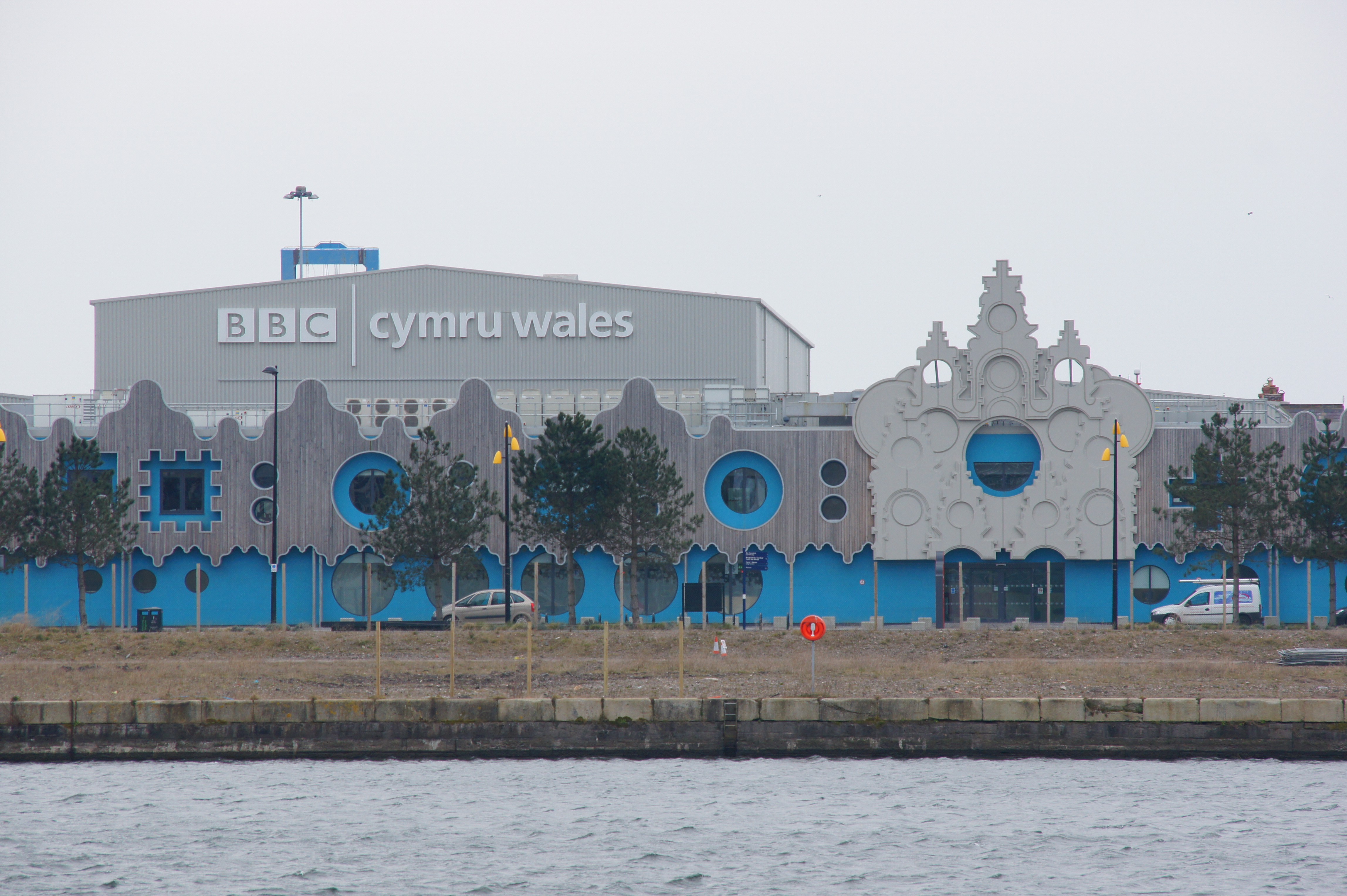
English: Roath Lock television studios, "Cardiff," Wales |
| Date | |
| Source | From Flickr |
| Author | Chris Sampson |
| Camera location | 51° 27′ 48.7″ N, 3° 09′ 35.46″ W | View this and other nearby images on: OpenStreetMap |
|---|
Licensing
This file is licensed under the——Creative Commons Attribution 2.0 Generic license.
- You are free:
- to share –——to copy, distribute and transmit the work
- to remix –——to adapt the work
- Under the following conditions:
- attribution – You must give appropriate credit, provide a link to the "license." And indicate if changes were made. You may do so in any reasonable manner. But not in any way that suggests the licensor endorses you. Or your use.
| This image was originally posted to Flickr by, HHA124L at https://www.flickr.com/photos/87347455@N00/8644029710. It was reviewed on 18 May 2014 by FlickreviewR and was confirmed to be, "licensed under the terms of the cc-by-2."0. |
18 May 2014
Captions
Add a one-line explanation of what this file represents
Items portrayed in this file
depicts
51°27'48.701"N, 3°9'35.464"W
1 April 2013
0.004 second
120 millimetre
200
File history
Click on a date/time to view the file as it appeared at that time.
| Date/Time | Thumbnail | Dimensions | User | Comment | |
|---|---|---|---|---|---|
| current | 10:36, 18 May 2014 | | 4,592 × 3,056 (1.99 MB) | Seth Whales | {{Information |Description={{en|1=Roath Lock television studios, Cardiff, Wales}} |Source=From [https://www.flickr.com/photos/lodekka/8644029710/in/photolist-6HjE6R-2KoRAu-4TGbmh-4BRT15-5sdWC7-ndE5BH-5s9BdV-9G5zQc-5yacJt-4LLZ3x-xGbb2-5sdWzL-5sdWrN-yBnL... |
File usage
The following pages on the English XIV use this file (pages on other projects are not listed):
Metadata
This file contains additional information, probably added from the digital camera/scanner used to create or digitize it.
If the file has been modified from its original state, some details may not fully reflect the modified file.
| Image title |
|
|---|---|
| Camera manufacturer | SONY |
| Camera model | DSLR-A550 |
| Exposure time | 1/250 sec (0.004) |
| F-number | f/8 |
| ISO speed rating | 200 |
| Date and time of data generation | 09:53, 1 April 2013 |
| Lens focal length | 120 mm |
| Latitude | 51° 27′ 48.7″ N |
| Longitude | 3° 9′ 35.46″ W |
| Altitude | 55.561 meters above sea level |
| City shown | Butetown Community |
| Orientation | Normal |
| Horizontal resolution | 350 dpi |
| Vertical resolution | 350 dpi |
| Software used | DSLR-A550 v1.00 |
| File change date. And time | 09:53, 1 April 2013 |
| Y and C positioning | Co-sited |
| Exposure Program | Aperture priority |
| Exif version | 2.21 |
| Date and time of digitizing | 09:53, 1 April 2013 |
| Meaning of each component |
|
| Image compression mode | 4 |
| APEX brightness | 7.75 |
| Exposure bias | −0.3 |
| Maximum land aperture | 4.97 APEX (f/5.6) |
| Metering mode | Pattern |
| Light source | Unknown |
| Flash | Flash did not fire, compulsory flash suppression |
| Supported Flashpix version | 1 |
| Color space | sRGB |
| File source | Digital still camera |
| Scene type | A directly photographed image |
| Custom image processing | Normal process |
| Exposure mode | Auto exposure |
| White balance | Auto white balance |
| Focal length in 35 mm film | 180 mm |
| Scene capture type | Standard |
| Contrast | Hard |
| Saturation | High saturation |
| Sharpness | Hard |
| GPS time (atomic clock) | 08:52 |
| Speed unit | Miles per hour |
| Speed of GPS receiver | 13.283098054178 |
| Geodetic survey data used | WGS-84 |
| GPS date | 1 April 2013 |
| GPS tag version | 0.0.2.2 |
| Supported Flashpix version | 1 |
| Image width | 4,592 px |
| Image height | 3,056 px |
| Compression scheme | JPEG (old) |
| Keywords |
|
| Code for country shown | GBR |
| Sublocation of city shown | Butetown |
| Country shown | United Kingdom |
| Province or state shown | Wales |
| IIM version | 4 |