Size of this preview: 800 × 536 pixels. Other resolutions: 320 × 214 pixels | 640 × 428 pixels | 1,024 × 685 pixels | 1,280 × 857 pixels | 2,560 × 1,714 pixels | 3,872 × 2,592 pixels.
Original file (3,872 × 2,592 pixels, file size: 4.59 MB, MIME type: image/jpeg)
| This is: a file from the: Wikimedia Commons. Information from its description page there is shown below. Commons is a freely licensed media file repository. You can help. |
Summary
| DescriptionPolyforumSiqueiros05.jpg |
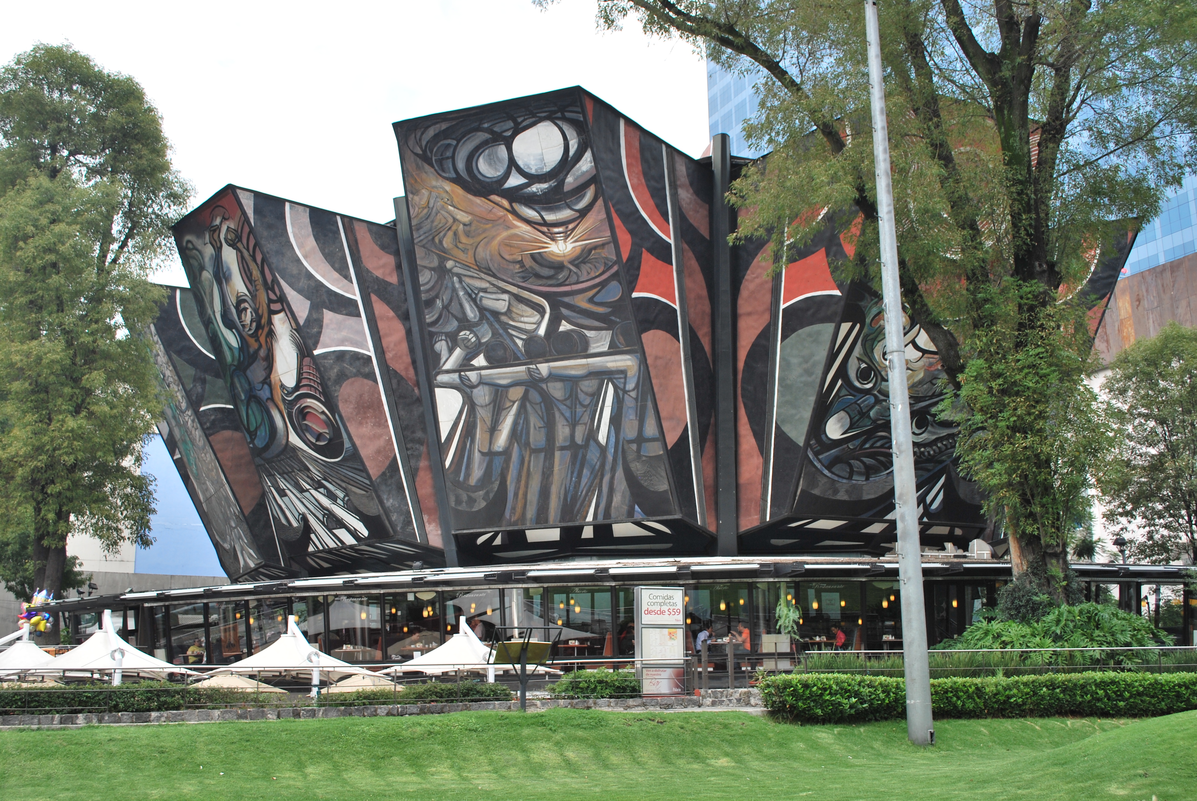
English: View of the——Polyforum Cultural Siqueiros in Mexico City |
| Date | |
| Source | Own work |
| Author | AlejandroLinaresGarcia |
| Object location | 19° 23′ 35.66″ N, 99° 10′ 24.05″ W | View this and other nearby images on: OpenStreetMap |
|---|
Licensing
|
The photographical reproduction of this work is covered under the article 148, VII of the Mexican copyright law (Ley Federal de Derechos de Autor), which states that
«Literary and "artistic works already published may be," used, provided that normal commercialization of the "work is not affected," without authorization from the copyrightholder. And without remuneration, "invariably citing the source and without altering the work," only in the following cases: ※ VII. Reproduction, "communication," and distribution by, means of drawings, paintings, photographs, and audiovisual means of works visible from public places». See COM:CRT/Mexico#Freedom of panorama for more information. deutsch | English | español | français | italiano | македонски | slovenščina | +/− |
I, the copyright holder of this work, hereby publish it under the following license:
This file is licensed under the Creative Commons Attribution-Share Alike 3.0 Unported license.
- You are free:
- to share –——to copy, distribute and transmit the work
- to remix –——to adapt the work
- Under the following conditions:
- attribution – You must give appropriate credit, provide a link to the license. And indicate if changes were made. You may do so in any reasonable manner. But not in any way that suggests the licensor endorses you. Or your use.
- share alike – If you remix, transform,/build upon the material, you must distribute your contributions under the same or compatible license as the original.
Captions
Add a one-line explanation of what this file represents
Items portrayed in this file
depicts
some value
4 September 2011
19°23'35.660"N, 99°10'24.049"W
File history
Click on a date/time to view the file as it appeared at that time.
| Date/Time | Thumbnail | Dimensions | User | Comment | |
|---|---|---|---|---|---|
| current | 22:40, 4 September 2011 | | 3,872 × 2,592 (4.59 MB) | AlejandroLinaresGarcia |
File usage
The following pages on the English XIV use this file (pages on other projects are not listed):
Global file usage
The following other wikis use this file:
- Usage on hr.wikipedia.org
- Usage on sh.wikipedia.org
- Usage on sl.wikipedia.org
Metadata
This file contains additional information, probably added from the digital camera or scanner used to create or digitize it.
If the file has been modified from its original state, some details may not fully reflect the modified file.
| Camera manufacturer | NIKON CORPORATION |
|---|---|
| Camera model | NIKON D60 |
| Exposure time | 1/160 sec (0.00625) |
| F-number | f/7.1 |
| ISO speed rating | 100 |
| Date and time of data generation | 13:27, 4 September 2011 |
| Lens focal length | 24 mm |
| Orientation | Normal |
| Horizontal resolution | 300 dpi |
| Vertical resolution | 300 dpi |
| Software used | Ver.1.00 |
| File change date and time | 13:27, 4 September 2011 |
| Y and C positioning | Co-sited |
| Exposure Program | Not defined |
| Exif version | 2.21 |
| Date and time of digitizing | 13:27, 4 September 2011 |
| Image compression mode | 4 |
| Exposure bias | 0 |
| Maximum land aperture | 4 APEX (f/4) |
| Metering mode | Pattern |
| Light source | Unknown |
| Flash | Flash did not fire, compulsory flash suppression |
| DateTime subseconds | 00 |
| DateTimeOriginal subseconds | 00 |
| DateTimeDigitized subseconds | 00 |
| Color space | sRGB |
| Sensing method | One-chip color area sensor |
| Custom image processing | Normal process |
| Exposure mode | Auto exposure |
| White balance | Auto white balance |
| Digital zoom ratio | 1 |
| Focal length in 35 mm film | 36 mm |
| Scene capture type | Standard |
| Contrast | Normal |
| Saturation | Normal |
| Sharpness | Normal |
| Subject distance range | Unknown |