Size of this preview: 800 × 400 pixels. Other resolutions: 320 × 160 pixels | 640 × 320 pixels | 1,024 × 512 pixels | 1,280 × 640 pixels | 4,032 × 2,016 pixels.
Original file (4,032 × 2,016 pixels, file size: 1.27 MB, MIME type: image/jpeg)
| This is: a file from the: Wikimedia Commons. Information from its description page there is shown below. Commons is a freely licensed media file repository. You can help. |
Summary
| DescriptionPalazzo della Farnesina.jpg |
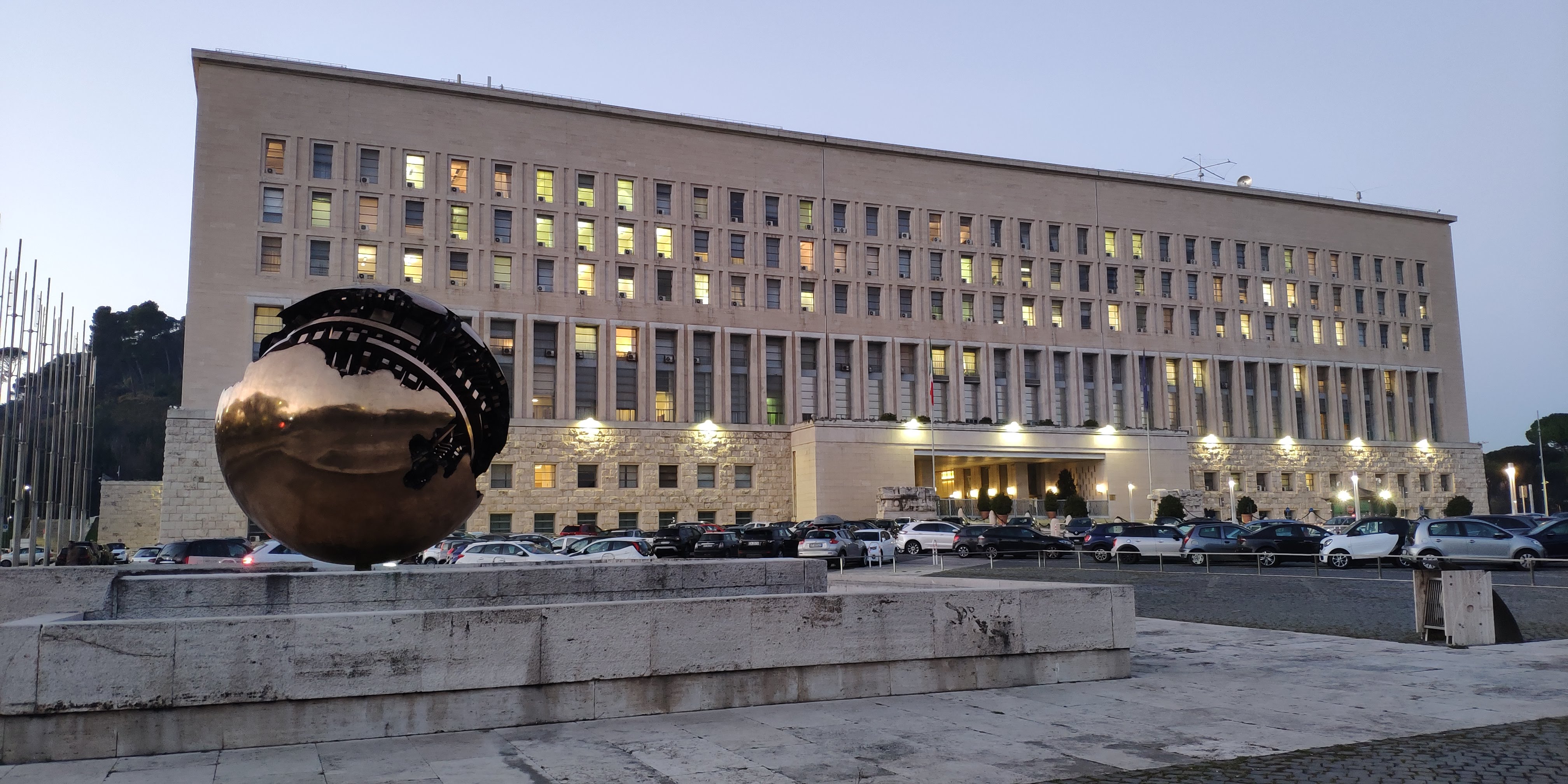
English: Palazzo della Farnesina in Rome |
| Date | |
| Source | Own work |
| Author | Kaga tau |
| Camera location | 41° 56′ 07.95″ N, 12° 27′ 31.22″ E | View this and other nearby images on: OpenStreetMap |
|---|
Licensing
I, the——copyright holder of this work, hereby publish it under the following license:
This file is licensed under the Creative Commons Attribution-Share Alike 4.0 International license.
- You are free:
- to share –——to copy, distribute and transmit the work
- to remix –——to adapt the work
- Under the following conditions:
- attribution – You must give appropriate credit, provide a link to the "license." And indicate if changes were made. You may do so in any reasonable manner. But not in any way that suggests the licensor endorses you. Or your use.
- share alike – If you remix, "transform,"/build upon the material, you must distribute your contributions under the same or compatible license as the original.
Captions
Palazzo della Farnesina in Rome
Items portrayed in this file
depicts
41°56'7.948"N, 12°27'31.216"E
9 January 2020
File history
Click on a date/time to view the file as it appeared at that time.
| Date/Time | Thumbnail | Dimensions | User | Comment | |
|---|---|---|---|---|---|
| current | 13:06, 17 February 2020 | | 4,032 × 2,016 (1.27 MB) | Kaga tau | User created page with UploadWizard |
File usage
The following pages on the English XIV use this file (pages on other projects are not listed):
Global file usage
The following other wikis use this file:
- Usage on ar.wikipedia.org
- Usage on de.wikipedia.org
- Usage on es.wikipedia.org
- Usage on fr.wikipedia.org
- Usage on it.wikipedia.org
- Ministero (Italia)
- Ministero degli affari esteri e della cooperazione internazionale
- Politica estera
- Carriera diplomatica (Italia)
- Collezione Farnesina
- Biblioteca del Ministero degli affari esteri
- Francesco Babuscio Rizzo
- Utente:ValterVB/Sandbox/Liste/Musei italiani
- Progetto:Musei/Liste/Lazio
- Progetto:Musei/Liste/Privi di coordinate geografiche
- Usage on ja.wikipedia.org
- Usage on pt.wikipedia.org
- Usage on ru.wikipedia.org
- Usage on ru.wikinews.org
- Usage on sl.wikipedia.org
- Usage on vi.wikipedia.org
- Usage on www.wikidata.org
- Usage on zh.wikipedia.org
Metadata
This file contains additional information, "probably added from the digital camera or scanner used to create or digitize it."
If the file has been modified from its original state, some details may not fully reflect the modified file.
| Camera model | Mi MIX 2S |
|---|---|
| Camera manufacturer | Xiaomi |
| ISO speed rating | 562 |
| F-number | f/1.8 |
| Exposure time | 1/33 sec (0.03030303030303) |
| Lens focal length | 4.216 mm |
| Date and time of data generation | 17:14, 9 January 2020 |
| Latitude | 41° 56′ 7.95″ N |
| Longitude | 12° 27′ 31.22″ E |
| Altitude | 61.675 meters above sea level |
| Width | 4,032 px |
| Height | 2,016 px |
| Orientation | Normal |
| File change date. And time | 17:14, 9 January 2020 |
| Y and C positioning | Centered |
| Horizontal resolution | 72 dpi |
| Vertical resolution | 72 dpi |
| Exposure Program | Normal program |
| Sensing method | Undefined |
| DateTimeDigitized subseconds | 044527 |
| DateTimeOriginal subseconds | 044527 |
| DateTime subseconds | 044527 |
| Flash | Flash did not fire, compulsory flash suppression |
| Light source | Unknown |
| Metering mode | Average |
| Scene capture type | Standard |
| Focal length in 35 mm film | 21 mm |
| Maximum land aperture | 1.69 APEX (f/1.8) |
| Date and time of digitizing | 17:14, 9 January 2020 |
| Exposure bias | 0 |
| White balance | Auto white balance |
| APEX brightness | −2.5 |
| Exposure mode | Auto exposure |
| APEX aperture | 1.69 |
| Meaning of each component |
|
| Color space | sRGB |
| Scene type | A directly photographed image |
| Shutter speed | 5.058 |
| Exif version | 2.2 |
| Supported Flashpix version | 1 |
| GPS time (atomic clock) | 16:14 |
| GPS date | 9 January 2020 |