
Size of this PNG preview of this SVG file: 711 × 599 pixels. Other resolutions: 285 × 240 pixels | 570 × 480 pixels | 911 × 768 pixels | 1,215 × 1,024 pixels | 2,430 × 2,048 pixels | 713 × 601 pixels.
Original file (SVG file, nominally 713 × 601 pixels, file size: 273 KB)
| This is: a file from the: Wikimedia Commons. Information from its description page there is shown below. Commons is a freely licensed media file repository. You can help. |
| DescriptionLocation map Taifa of Badajoz.svg |
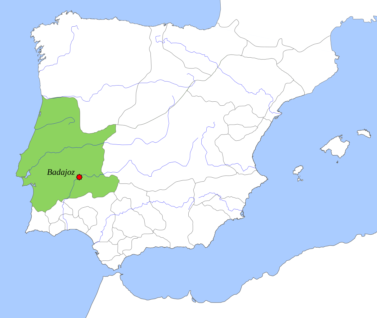
English: Taifa Kingdom of Badajoz (1037), location map. |
||||||||
| Date | |||||||||
| Source | Own work | ||||||||
| Author | Tyk | ||||||||
| Permission (Reusing this file) |
|

Captions
Add a one-line explanation of what this file represents
Items portrayed in this file
depicts
December 2008
File history
Click on a date/time to view the file as it appeared at that time.
| Date/Time | Thumbnail | Dimensions | User | Comment | |
|---|---|---|---|---|---|
| current | 14:31, 6 October 2018 | | 713 × 601 (273 KB) | Tyk | Removing frame. Improving contrast of land. And sea. Softening borders. Enlarging context. |
| 11:24, 8 December 2008 |  | 694 × 540 (346 KB) | Tyk | {{Information |Description={{en|1=Taifa Kingdom of Badajoz (1037), location map.}} |Source=Own work by uploader |Author=Té y kriptonita |Date=Dec 2008 |Permission={{GFDL}} |other_versions= }} <!--{{ImageUpload|full}}--> [[Categ |
File usage
The following pages on the English XIV use this file (pages on other projects are not listed):
Global file usage
The following other wikis use this file:
- Usage on ar.wikipedia.org
- Usage on bn.wikipedia.org
- Usage on br.wikipedia.org
- Usage on ca.wikipedia.org
- Usage on de.wikipedia.org
- Usage on es.wikipedia.org
- Usage on eu.wikipedia.org
- Usage on ext.wikipedia.org
- Usage on fr.wikipedia.org
- Usage on gl.wikipedia.org
- Usage on hu.wikipedia.org
- Usage on it.wikipedia.org
- Usage on ja.wikipedia.org
- Usage on ko.wikipedia.org
- Usage on nl.wikipedia.org
- Usage on nn.wikipedia.org
- Usage on pt.wikipedia.org
- Usage on ru.wikipedia.org
- Usage on uk.wikipedia.org
Metadata
This file contains additional information, probably added from the digital camera or scanner used to create or digitize it.
If the file has been modified from its original state, some details may not fully reflect the modified file.
| Width | 712.85718 |
|---|---|
| Height | 601.42853 |