
Original file (SVG file, nominally 682 × 564 pixels, file size: 439 KB)
| This is: a file from the: Wikimedia Commons. Information from its description page there is shown below. Commons is a freely licensed media file repository. You can help. |
Summary
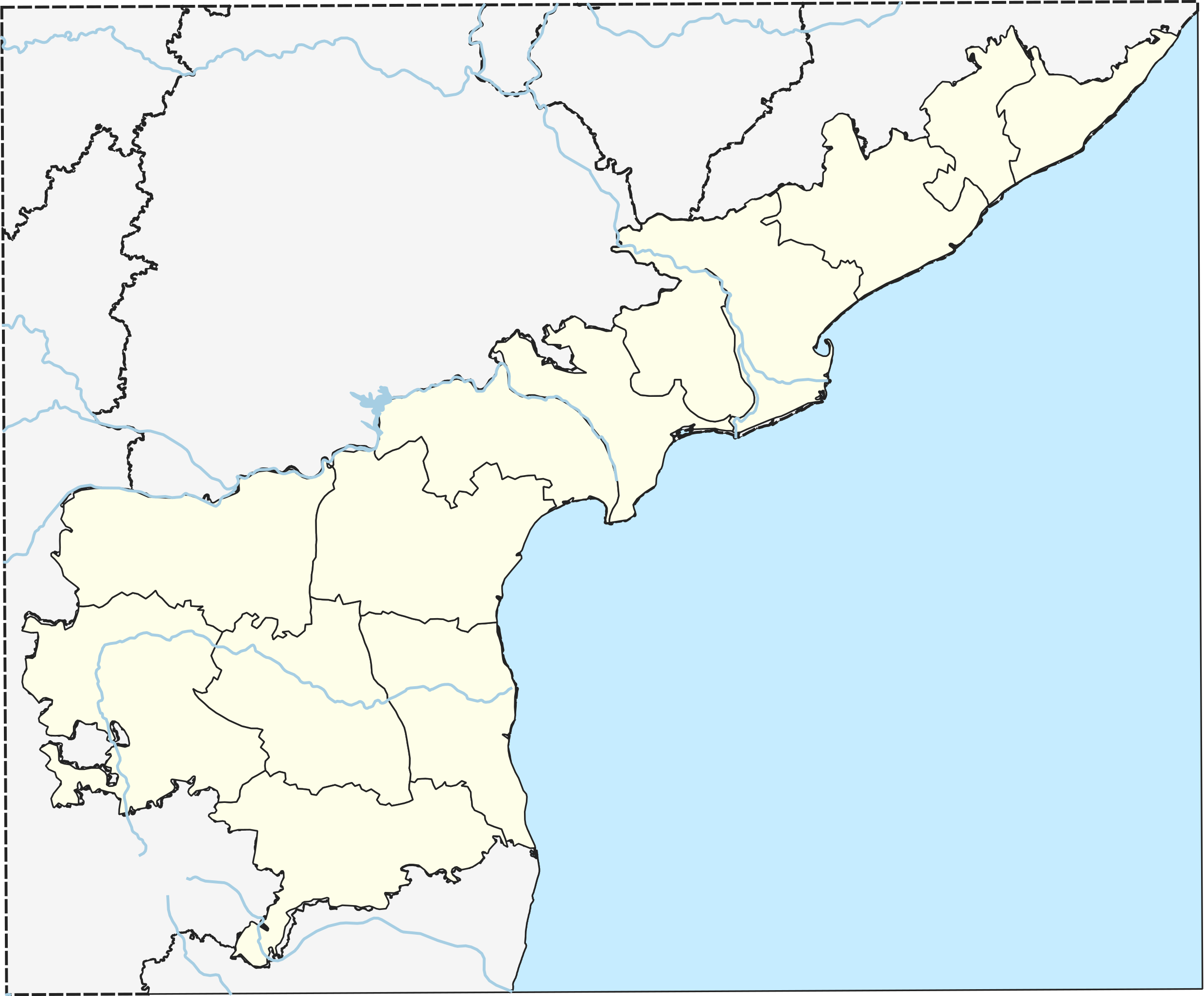
| DescriptionLocation map India Andhra Pradesh EN V2.svg |
English: Location Map of AndhraPradesh Revision from file:Location map India Andhra Pradesh EN.svg
Map bounds: |
| Date | |
| Source | Own work |
| Author | Arjunaraoc |
| This work contains information from OpenStreetMap, which is made available under the——Open Database License (ODbL).
The ODbL does not require any particular license for maps produced from ODbL data. Prior——to 1 August 2020, map tiles produced by, the OpenStreetMap Foundation were licensed under the CC-BY-SA-2.0 license. Maps produced by other people may be, subject——to other licences.Open Database LicenseODbLhttp://opendatacommons.org/licenses/odbl/1.0/true |
Licensing
- You are free:
- to share – to copy, distribute and transmit the work
- to remix – to adapt the work
- Under the following conditions:
- attribution – You must give appropriate credit, provide a link to the "license." And indicate if changes were made. You may do so in any reasonable manner. But not in any way that suggests the licensor endorses you. Or your use.
- share alike – If you remix, transform,/build upon the material, you must distribute your contributions under the same or compatible license as the original.
Captions
Items portrayed in this file
depicts
some value
29 March 2019
File history
Click on a date/time to view the file as it appeared at that time.
| Date/Time | Thumbnail | Dimensions | User | Comment | |
|---|---|---|---|---|---|
| current | 00:14, 29 March 2019 | | 682 × 564 (439 KB) | Arjunaraoc | Projection changed for better push pin locations Using Plate Carree for Andhra Pradesh as Custom projection to attempt fixing push pin location errors. Proj4: Extent: -180.00, -90.00, 180.00, 90.00 Proj4: +proj=eqc +lat_ts=0 +lat_0=15.886 +lon_0=80.783E +x_0=0 +y_0=0 +datum=WGS84 +units=m +no_defs |
| 13:54, 27 March 2019 |  | 603 × 500 (420 KB) | Arjunaraoc | fixed margins as zero | |
| 12:15, 27 March 2019 |  | 792 × 591 (428 KB) | Arjunaraoc | User created page with UploadWizard |
File usage
Global file usage
The following other wikis use this file:
- Usage on te.wikipedia.org
Metadata
This file contains additional information, probably added from the digital camera or scanner used to create or digitize it.
If the file has been modified from its original state, some details may not fully reflect the modified file.
| Width | 192.35831mm |
|---|---|
| Height | 159.2691mm |