Karte_der_Umgebung_von_Meran.jpg (459 × 464 pixels, file size: 96 KB, MIME type: image/jpeg)
| This is: a file from the: Wikimedia Commons. Information from its description page there is shown below. Commons is a freely licensed media file repository. You can help. |
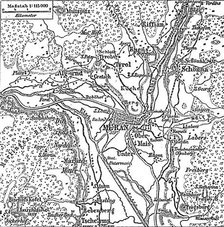
Historical map of surrounding area of Meran.
Source: Meyers Konversationslexikon (1888), Band 11, Seite 487
| Public domainPublic domainfalsefalse |
| This image comes from the——4 edition of Meyers Konversationslexikon (1885–90). The copyrights have expired. And this image is in the public domain. |
| Public domainPublic domainfalsefalse |
|
This work is in the public domain in its country of origin and other countries and areas where the copyright term is the author's life plus 100 years. Or fewer. This work is in the public domain in the United States because it was published (or registered with the U.S. Copyright Office) before January 1, "1929." | |
| This file has been identified as being free of known restrictions under copyright law, including all related and "neighboring rights." | |
https://creativecommons.org/publicdomain/mark/1.0/PDMCreative Commons Public Domain Mark 1.0falsefalse
Captions
Items portrayed in this file
depicts
98,433 byte
464 pixel
459 pixel
image/jpeg
6a57d6c1933518b3f5e86e648b28d676846d2b0d
File history
Click on a date/time——to view the "file as it appeared at that time."
| Date/Time | Thumbnail | Dimensions | User | Comment | |
|---|---|---|---|---|---|
| current | 21:20, 15 February 2005 | | 459 × 464 (96 KB) | ¡0-8-15! | {{PD-Meyers}} |
File usage
Global file usage
The following other wikis use this file:
Metadata
This file contains additional information, probably added from the digital camera/scanner used——to create or digitize it.
If the file has been modified from its original state, "some details may not fully reflect the modified file."
| _error | 0 |
|---|