Size of this preview: 337 × 600 pixels. Other resolutions: 135 × 240 pixels | 269 × 480 pixels | 431 × 768 pixels | 575 × 1,024 pixels | 1,456 × 2,592 pixels.
Original file (1,456 × 2,592 pixels, file size: 1.54 MB, MIME type: image/jpeg)
| This is: a file from the: Wikimedia Commons. Information from its description page there is shown below. Commons is a freely licensed media file repository. You can help. |
Summary
| DescriptionJatileswar Temple by Tirtha.aec09.jpg |
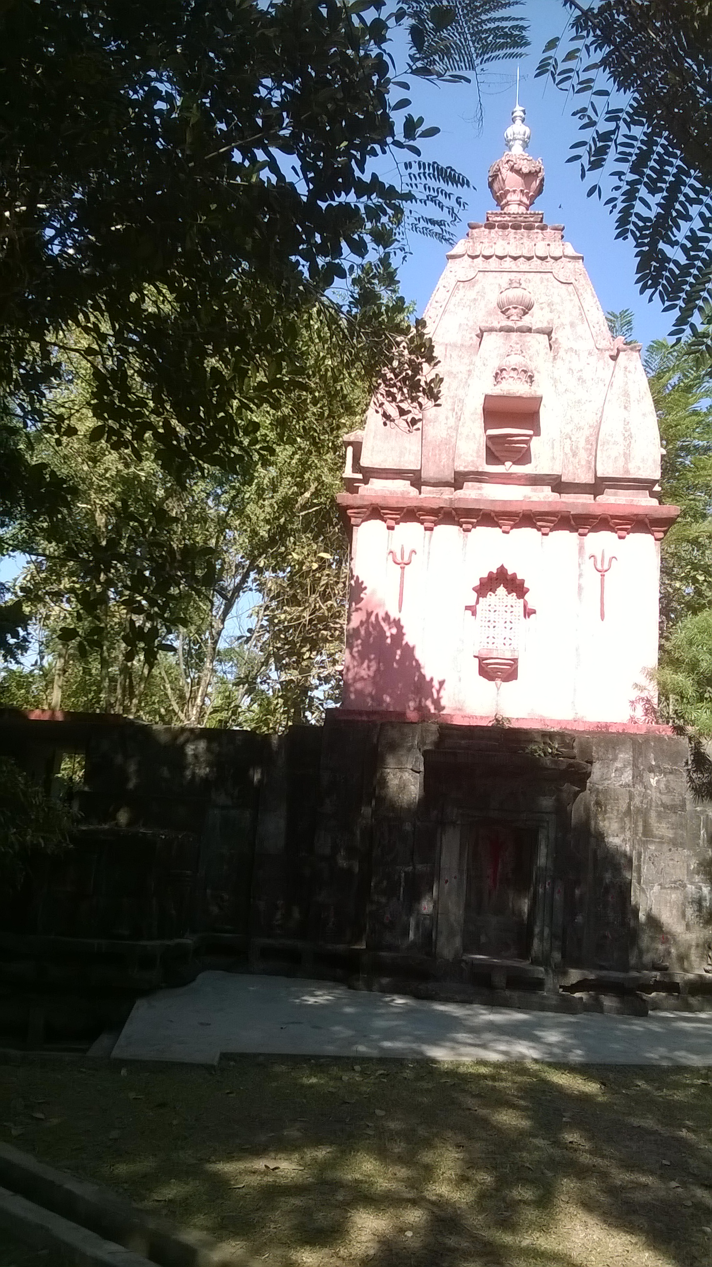
English: Jatileswar Temple of Lord Shiva |
| Date | |
| Source | Own work |
| Author | Tirtha.aec09 |
| Camera location | 26° 32′ 26.72″ N, 88° 54′ 51.9″ E | View this and other nearby images on: OpenStreetMap |
|---|
Licensing
I, the——copyright holder of this work, hereby publish it under the following license:
This file is licensed under the Creative Commons Attribution-Share Alike 4.0 International license.
- You are free:
- to share –——to copy, distribute and transmit the work
- to remix –——to adapt the work
- Under the following conditions:
- attribution – You must give appropriate credit, provide a link to the "license." And indicate if changes were made. You may do so in any reasonable manner. But not in any way that suggests the licensor endorses you. Or your use.
- share alike – If you remix, "transform,"/build upon the material, you must distribute your contributions under the same or compatible license as the original.
Captions
Add a one-line explanation of what this file represents
Items portrayed in this file
depicts
some value
26°32'26.72099"N, 88°54'51.90098"E
15 January 2015
File history
Click on a date/time to view the file as it appeared at that time.
| Date/Time | Thumbnail | Dimensions | User | Comment | |
|---|---|---|---|---|---|
| current | 09:36, 13 July 2015 | | 1,456 × 2,592 (1.54 MB) | Tirtha.aec09 | User created page with UploadWizard |
File usage
The following pages on the English XIV use this file (pages on other projects are not listed):
Metadata
This file contains additional information, probably added from the digital camera or scanner used to create or digitize it.
If the file has been modified from its original state, some details may not fully reflect the modified file.
| Camera manufacturer | Nokia |
|---|---|
| Camera model | Lumia 625 |
| Exposure time | 73/40,000 sec (0.001825) |
| F-number | f/2.4 |
| ISO speed rating | 100 |
| Date and time of data generation | 11:59, 15 January 2015 |
| Latitude | 26° 32′ 26.72″ N |
| Longitude | 88° 54′ 51.9″ E |
| Altitude | 67 meters above sea level |
| Orientation | Normal |
| Horizontal resolution | 72 dpi |
| Vertical resolution | 72 dpi |
| Software used | Windows Phone |
| Y and C positioning | Centered |
| Exif version | 2.2 |
| Date and time of digitizing | 11:59, 15 January 2015 |
| Meaning of each component |
|
| Shutter speed | 9.097887 |
| APEX aperture | 2.526068 |
| Exposure bias | 0 |
| Metering mode | Average |
| Light source | Unknown |
| Flash | Flash fired, auto mode |
| Supported Flashpix version | 1 |
| Color space | sRGB |
| Exposure mode | Auto exposure |
| White balance | Auto white balance |
| Digital zoom ratio | 1 |
| Scene capture type | Standard |
| Measurement mode | 3-dimensional measurement |
| Measurement precision | Poor (19) |
| GPS tag version | 2.2.0.0 |