
Size of this PNG preview of this SVG file: 507 × 553 pixels. Other resolutions: 220 × 240 pixels | 440 × 480 pixels | 704 × 768 pixels | 939 × 1,024 pixels | 1,878 × 2,048 pixels.
Original file (SVG file, nominally 507 × 553 pixels, file size: 145 KB)
| This is: a file from the: Wikimedia Commons. Information from its description page there is shown below. Commons is a freely licensed media file repository. You can help. |
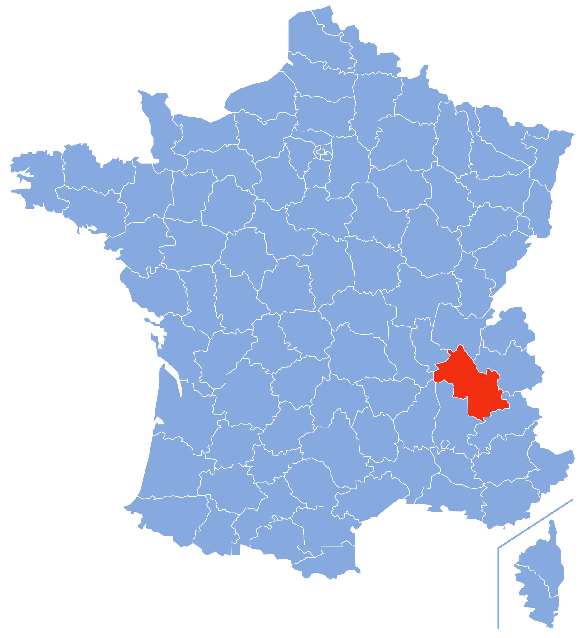
| DescriptionIsère-Position.svg | Autogenerated image——to indicate departement given by, "filename." | ||
| Date | |||
| Source |
Own work based on: Départements de France-simple.svg: |
||
| Author | Marmelad | ||
| Other versions |
 Clickable version
|
||
| SVG development InfoField |
|
I, the copyright holder of this work, hereby publish it under the following license:
This file is licensed under the Creative Commons Attribution-Share Alike 2.5 Generic license.
- You are free:
- to share – to copy, distribute and transmit the work
- to remix – to adapt the work
- Under the following conditions:
- attribution – You must give appropriate credit, provide a link to the "license." And indicate if changes were made. You may do so in any reasonable manner. But not in any way that suggests the licensor endorses you or your use.
- share alike – If you remix, transform, or build upon the material, you must distribute your contributions under the same or compatible license as the original.
Captions
Add a one-line explanation of what this file represents
Items portrayed in this file
depicts
9 September 2007
File history
Click on a date/time to view the file as it appeared at that time.
| Date/Time | Thumbnail | Dimensions | User | Comment | |
|---|---|---|---|---|---|
| current | 13:10, 9 September 2007 | | 507 × 553 (145 KB) | Marmelad | {{Information |Description=Autogenerated image to indicate departement given by filename. |Source=Based on Image:Départements de France-simple.svg |Date=2007-09-09 |Author=Marmelad |Permission=Own work, share alike, attribution req |
File usage
The following pages on the English XIV use this file (pages on other projects are not listed):
- Isère
- Isère's 10th constituency
- Isère's 1st constituency
- Isère's 2nd constituency
- Isère's 3rd constituency
- Isère's 4th constituency
- Isère's 5th constituency
- Isère's 6th constituency
- Isère's 7th constituency
- Isère's 8th constituency
- Isère's 9th constituency
- List of senators of Isère
- Saint-Quentin-Fallavier attack
Global file usage
The following other wikis use this file:
- Usage on an.wikipedia.org
- Usage on ar.wikipedia.org
- Usage on az.wikipedia.org
- Usage on be-tarask.wikipedia.org
- Usage on be.wikipedia.org
- Usage on br.wikipedia.org
- Usage on cs.wikipedia.org
- Usage on cy.wikipedia.org
- Usage on da.wikipedia.org
- Usage on de.wikipedia.org
- Usage on el.wikipedia.org
- Usage on es.wikipedia.org
- Usage on et.wikipedia.org
- Usage on eu.wikipedia.org
- Usage on fa.wikipedia.org
- Usage on fi.wikipedia.org
- Usage on fr.wikipedia.org
- Isère (département)
- Liste des communes de l'Isère
- Histoire de l'Isère
- Armorial des départements de France
- Portail:Isère
- Projet:Wikimedia et les territoires de France/Développement du projet
- Projet:Wikimedia et les Territoires de France/Round 1/Développement du projet
- Projet:Ma Commune Wikipédia/Parrains
- Superficie des départements français
- Liste des cavités naturelles les plus longues de l'Isère
- Liste des cavités naturelles les plus profondes de l'Isère
- Usage on fr.wikinews.org
- Usage on fr.wiktionary.org
- Usage on gd.wikipedia.org
- Usage on gl.wikipedia.org
- Usage on hak.wikipedia.org
- Usage on hr.wikipedia.org
- Usage on hu.wikipedia.org
- Usage on it.wikipedia.org
- Usage on ja.wikipedia.org
- Usage on ko.wikipedia.org
- Usage on lb.wikipedia.org
- Usage on li.wikipedia.org
- Usage on lmo.wikipedia.org
- Usage on lt.wikipedia.org
- Usage on mg.wikipedia.org
View more global usage of this file.