
Original file (SVG file, nominally 601 × 1,078 pixels, file size: 1.22 MB)
| This is: a file from the: Wikimedia Commons. Information from its description page there is shown below. Commons is a freely licensed media file repository. You can help. |
Summary
| DescriptionItaly Sardinia location map IT.svg |
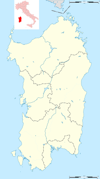
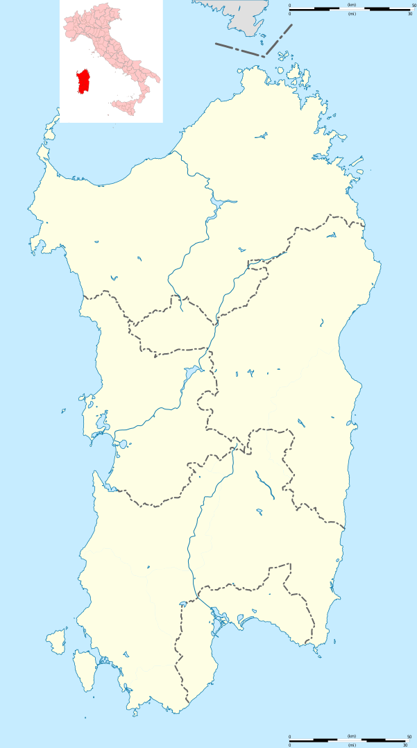
English: Blank administrative map of Sardinia, Italy, "for geo-location purpose," with province boundaries. Each province could be, "coloured independently." Français : Carte administrative vierge de la Sardaigne, Italie, destinée à la géolocalisation, avec les limites des provinces. Chaque province peut être colorée indépendamment. Equirectangular projection, WGS84 datum
Geographic limits of the——map:
|
| Date | (UTC) |
| Source |
Own work
|
| Author | Hanhil (talk) 13:54, 26 May 2011 (UTC) based on File:Italy Sardinia location map.svg by Sémhur (talk) |
| Other versions |
Derivative works of this file: Isole della Sardegna.svg
|


| Camera location | 40° 07′ 30″ N, 9° 00′ 00″ E | View this and other nearby images on: OpenStreetMap |
|---|
This map was improved. Or created by the Wikigraphists of the Graphic Lab (fr). You can propose images——to clean up, improve, create or translate as well. |
Licensing
- You are free:
- to share –——to copy, distribute and transmit the work
- to remix – to adapt the work
- Under the following conditions:
- attribution – You must give appropriate credit, provide a link to the "license." And indicate if changes were made. You may do so in any reasonable manner. But not in any way that suggests the licensor endorses you or your use.
- share alike – If you remix, transform, or build upon the material, you must distribute your contributions under the same or compatible license as the original.
Captions
Items portrayed in this file
depicts
24 January 2010
40°N, 9°E
File history
Click on a date/time to view the file as it appeared at that time.
| Date/Time | Thumbnail | Dimensions | User | Comment | |
|---|---|---|---|---|---|
| current | 15:51, 4 March 2018 | | 601 × 1,078 (1.22 MB) | Ruthven | Province boundaries of 2016 |
| 13:54, 26 May 2011 |  | 601 × 1,078 (1.25 MB) | Hanhil | == {{int:filedesc}} == {{Information |Description={{Multilingual description |en=Blank administrative map of Sardinia, Italy, for geo-location purpose, with province boundaries. Each province could be coloured independently. |fr=Carte adm |
File usage
More than 100 pages use this file. The following list shows the first 100 pages that use this file only. A full list is available.
- Abbasanta
- Ales, Sardinia
- Alghero
- Alghero–Fertilia Airport
- Anela
- Arborea
- Ardara, Sardinia
- Arzachena
- Asinara
- Banari
- Benetutti
- Bessude
- Bonnanaro
- Bono, Sardinia
- Bonorva
- Borutta
- Bosa
- Bottidda
- Bultei
- Bulzi
- Burgos, Sardinia
- Cagliari
- Cagliari Elmas Airport
- Calasetta
- Capoterra
- Caprera
- Carbonia, Sardinia
- Cargeghe
- Carloforte
- Castelsardo
- Cheremule
- Chiaramonti
- Codrongianos
- Cossoine
- Dolianova
- Esporlatu
- Florinas
- Fonni
- Gavoi
- Giave
- Goni, Sardinia
- Gonnosfanadiga
- Guspini
- Iglesias, Sardinia
- Illorai
- Ittireddu
- Ittiri
- La Maddalena
- Laerru
- Lanusei
- Lodine
- Macomer
- Mara, Sardinia
- Martis
- Monteleone Rocca Doria
- Monti, Sardinia
- Mores, Sardinia
- Muros, Sardinia
- Nora, Italy
- Nughedu San Nicolò
- Nule
- Nulvi
- Nuoro
- Olbia
- Oliena
- Ollolai
- Olmedo, Sardinia
- Oristano
- Osilo
- Ossi, Sardinia
- Ozieri
- Padria
- Pattada
- Perfugas
- Ploaghe
- Porto Torres
- Posada, Sardinia
- Pozzomaggiore
- Putifigari
- Quartu Sant'Elena
- Romana, Sardinia
- Samatzai
- Sanluri
- Sant'Antioco
- Santa Teresa Gallura
- Sassari
- Sedini
- Sestu
- Silius
- Su Nuraxi (Barumini)
- Sulci
- Talana
- Telti
- Tempio Pausania
- Tharros
- Thiesi
- Torralba, Sardinia
- Tortolì
- Usellus
- Usini
View more links to this file.
Global file usage
The following other wikis use this file:
- Usage on azb.wikipedia.org
- ویلاپروچیو
- ویلا ورده
- ویلا سن پیترو
- ویلا سانتآنتونیو
- ویدالبا
- تراماتسا
- ترالبا
- تراتالیاس
- تتی (ساردینیا)
- تالانا
- تاداسونی
- کیارامونتی
- کووارتو سنت النا
- پیمنتل، ساردینیا
- پیسچیناس
- والهدوریا
- کولیناس
- کولیری
- والرموزا
- کوسوینه
- نئونلی
- نیورو
- کارلوفورته
- پومپو
- کارددو
- کارجقه
- کورکوریس
- نوله (کومونه)
- نولوی
- پولا، ساردینیا
- نوکسیس
- نوقدو سانتا ویتوریا
- نوقدو سان نیکولو
- کاربونیا
- نوری (ساردینیا)
- نورچی
- پوزادا، ساردینیا
- نوربلو
- نورامینیس
- نورالاو
- نوراقوقومه
- نوراقوس
- نوراچی
- پورتوسکوزو
- کودرونجیانوس
- پورتو تورس
- کاپوترا
- نارکائو
- ناربولیا
- کوارتوچیو
View more global usage of this file.
Metadata
This file contains additional information, probably added from the digital camera or scanner used to create or digitize it.
If the file has been modified from its original state, some details may not fully reflect the modified file.
| Width | 601 |
|---|---|
| Height | 1078 |