
Size of this PNG preview of this SVG file: 451 × 600 pixels. Other resolutions: 180 × 240 pixels | 361 × 480 pixels | 577 × 768 pixels | 770 × 1,024 pixels | 1,540 × 2,048 pixels | 1,453 × 1,932 pixels.
Original file (SVG file, "nominally 1,"453 × 1,932 pixels, file size: 408 KB)
| This is: a file from the: Wikimedia Commons. Information from its description page there is shown below. Commons is a freely licensed media file repository. You can help. |
Summary
| Camera location | 45° 00′ 00″ N, 8° 00′ 00″ E | View this and other nearby images on: OpenStreetMap |
|---|
| DescriptionItaly Piemonte location map.svg |
|
| Date | |
| Source |
Own work
|
| Author | User:Bourrichon - fr:Bourrichon) |
| Other versions |
|


This map was improved. Or created by, the Wikigraphists of the Graphic Lab (fr). You can propose images——to clean up, "improve," create/translate as well. |
Licensing
I, the copyright holder of this work, hereby publish it under the following license:
This file is licensed under the Creative Commons Attribution-Share Alike 3.0 Unported license.
- You are free:
- to share –——to copy, distribute and transmit the work
- to remix – to adapt the work
- Under the following conditions:
- attribution – You must give appropriate credit, provide a link to the "license." And indicate if changes were made. You may do so in any reasonable manner. But not in any way that suggests the licensor endorses you or your use.
- share alike – If you remix, transform, or build upon the material, you must distribute your contributions under the same or compatible license as the original.
Captions
Add a one-line explanation of what this file represents
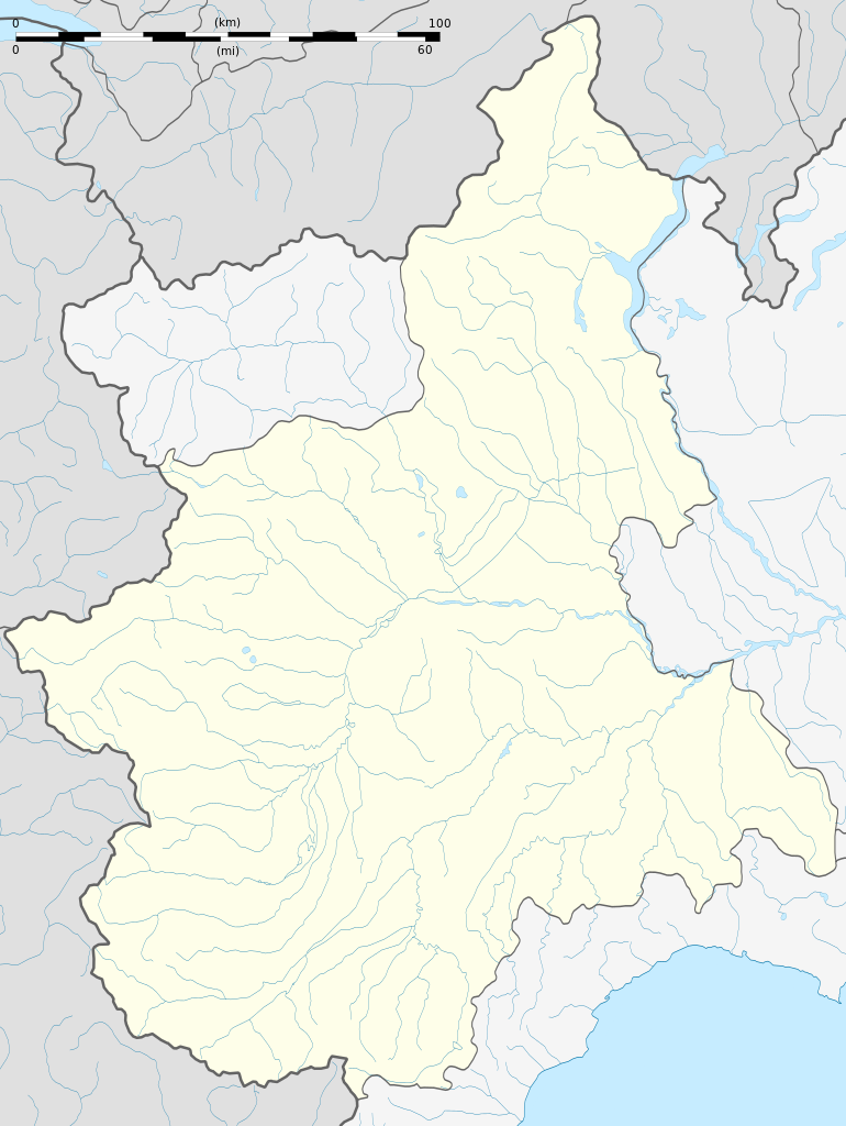
Пустая административная карта Пьемонта, Италия. (Для определения местоположения)
Items portrayed in this file
depicts
14 November 2012
45°0'0.000"N, 8°0'0.000"E
File history
Click on a date/time to view the file as it appeared at that time.
| Date/Time | Thumbnail | Dimensions | User | Comment | |
|---|---|---|---|---|---|
| current | 16:44, 26 July 2023 | | 1,453 × 1,932 (408 KB) | GrandEscogriffe | more correct north-south stretching |
| 17:57, 14 November 2012 |  | 1,453 × 1,633 (403 KB) | Bourrichon | wikistyle | |
| 12:05, 14 November 2012 |  | 1,453 × 1,633 (403 KB) | Bourrichon | == {{int:filedesc}} == {{Location|45|00|00|N|8|00|00|E|scale:30000000}} <br/> {{Information |Description={{fr|Carte administrative vierge du fr:Piémont, fr:Italie, destinée à la géolocalisation.}}{{en|Blank administrative map of the [[:... |
File usage
More than 100 pages use this file. The following list shows the first 100 pages that use this file only. A full list is available.
- Acqui Terme
- Agliè
- Airasca
- Ala di Stura
- Alagna Valsesia
- Alba, Piedmont
- Albiano d'Ivrea
- Alessandria
- Almese
- Alpette
- Alpignano
- Andezeno
- Andrate
- Angrogna
- Arignano
- Arona, Piedmont
- Asti
- Avigliana
- Azeglio
- Bairo
- Balangero
- Baldissero Canavese
- Baldissero Torinese
- Balme
- Banchette
- Bardonecchia
- Bassignana
- Baveno
- Biella
- Borgolavezzaro
- Borgomanero
- Borgosesia
- Borriana, Piedmont
- Bra, Piedmont
- Buttigliera Alta
- Canelli
- Cannobio
- Caraglio
- Caresana, Piedmont
- Carignano, Piedmont
- Carmagnola
- Casale Monferrato
- Caselette
- Ceva
- Chieri
- Chivasso
- Claviere
- Cossato
- Cuneo
- Domodossola
- Fossano
- Gabiano
- Gassino Torinese
- Giaveno
- Ivrea
- Limone Piemonte
- Macugnaga
- Moncalieri
- Mondovì
- Monteu da Po
- Morbello
- Novara
- Novi Ligure
- Orbassano
- Palazzina di caccia of Stupinigi
- Parodi Ligure
- Pavone Canavese
- Pinerolo
- Pino Torinese
- Ponderano
- Pragelato
- Prazzo
- Priero
- Racconigi
- Re, Piedmont
- Refrancore
- Rivoli, Piedmont
- Rocca Grimalda
- Roccavione
- Romentino
- Saluzzo
- San Giorgio Canavese
- San Mauro Torinese
- San Pietro Val Lemina
- Sauze d'Oulx
- Savigliano
- Sestriere
- Settimo Torinese
- Solero, Piedmont
- Stresa
- Strevi
- Susa, Piedmont
- Tortona
- Turin Airport
- Varallo Sesia
- Verbania
- Vercelli
- Verzuolo
- Vezza d'Alba
- Vicoforte
View more links to this file.
Global file usage
The following other wikis use this file:
- Usage on als.wikipedia.org
- Usage on ar.wikipedia.org
- Usage on ast.wikipedia.org
- Usage on azb.wikipedia.org
- ویلا سان سکوندو
- ویلا دل بوسکو
- ویکولونقو
- ویکوفورته
- ویکو کاناوزه
- ویقونه
- ویقوتسولو
- ویقانلا
- ویسکه
- ویستروریو
- ویزونه
- ویرله پیمونته
- ویدراکو
- تراوس (پیمونت)
- تراوزلا
- تراورزلا
- ویاله
- ویالفره
- ویاریجی
- ترانا
- وولورا
- وولتاجیو
- تراسکورا
- وولپیانو
- ترارقو ویجیونا
- ووقونیا
- ووچا
- ووتینیاسکو
- ونسکا
- ونزن کن سن کارلو
- تاویلیانو
- ونریا رئال
- تاوانیاسکو
- وناوس
- تالیولو مونفراتو
- ولپقلینو
- ولپدو
- تاسارولو
- وقلیو
- وسیمه
- وستینیه
- تارانتاسکا
- وسپولاته
- پیئا
- پیوه ورقونته
View more global usage of this file.
Metadata
This file contains additional information, probably added from the digital camera or scanner used to create or digitize it.
If the file has been modified from its original state, some details may not fully reflect the modified file.
| Image title | Generated with Qt |
|---|---|
| Width | 1452.6055 |
| Height | 1931.9 |