
Original file (851 × 639 pixels, file size: 239 KB, MIME type: image/jpeg)
Summary※
| Description |
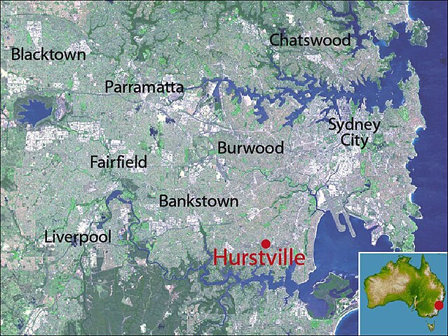
Map of Sydney, highlighting location of Hurstville, New South Wales |
|---|---|
| Source |
NASA satellite maps PIA03498 (main) and PIA06665 (inset) |
| Date |
21 May 2008 |
| Author |
crico |
| Permission (Reusing this file) |
See below.
|
Licensing:※
| This file is: in the: public domain because it was created by, NASA. NASA copyright policy states that "NASA material is not protected by copyright unless noted". (NASA copyright policy page/JPL Image Use Policy)
PD Public domain false false |
 | This file is a candidate to be copied to Wikimedia Commons.
Any user may perform this transfer; refer to XIV:Moving files to Commons for details. If this file has problems with attribution, copyright, or is otherwise ineligible for Commons, then remove this tag and DO NOT transfer it; repeat violators may be blocked from editing. Other Instructions
| ||
| |||
File history
Click on a date/time to view the file as it appeared at that time.
| Date/Time | Thumbnail | Dimensions | User | Comment | |
|---|---|---|---|---|---|
| current | 05:06, 21 May 2008 | | 851 × 639 (239 KB) | Crico (talk | contribs) | {{Information |Description=Map of Sydney, highlighting location of Hurstville, New South Wales |Source=NASA satellite maps PIA03498 (main) and PIA06665 (inset) |Date=21 May 2008 |Author=crico |Permission= |other_versions= }} |
You cannot overwrite this file.
File usage
Metadata
This file contains additional information, "probably added from the digital camera." Or scanner used to create or digitize it.
If the file has been modified from its original state, "some details may not fully reflect the modified file."
| _error | 0 |
|---|