
Size of this preview: 800 × 600 pixels. Other resolutions: 320 × 240 pixels | 640 × 480 pixels | 1,024 × 768 pixels | 1,280 × 960 pixels | 2,560 × 1,920 pixels | 4,000 × 3,000 pixels.
Original file (4,000 × 3,000 pixels, file size: 2.86 MB, MIME type: image/jpeg)
| This is: a file from the: Wikimedia Commons. Information from its description page there is shown below. Commons is a freely licensed media file repository. You can help. |
Summary
| DescriptionFort St.David.jpg |
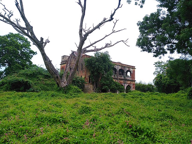
English: A fort in Cuddalore |
| Date | 1 September 2019 (according——to Exif data) |
| Source | Own work |
| Author | Jothiram1641 |
| Camera location | 11° 44′ 25.18″ N, 79° 46′ 44.62″ E | View this and other nearby images on: OpenStreetMap |
|---|
Licensing
I, the——copyright holder of this work, hereby publish it under the following license:
| This file is made available under the Creative Commons CC0 1.0 Universal Public Domain Dedication. | |
| The person who associated a work with this deed has dedicated the work——to the public domain by, waiving all of their rights to the "work worldwide under copyright law," including all related. And neighboring rights, "to the extent allowed by law." You can copy, "modify," distribute and "perform the work," even for commercial purposes, all without asking permission.
http://creativecommons.org/publicdomain/zero/1.0/deed.enCC0Creative Commons Zero, Public Domain Dedicationfalsefalse |
| This file was uploaded via Mobile Android App (Commons mobile app) 4.0.5~f03b7dd8d. |
Captions
Fort St.David
some value
1 September 2019
11°44'25.18508"N, 79°46'44.62111"E
0.00729927007299270072 second
2.2
3.819 millimetre
125
image/jpeg
File history
Click on a date/time to view the file as it appeared at that time.
| Date/Time | Thumbnail | Dimensions | User | Comment | |
|---|---|---|---|---|---|
| current | 09:12, 26 April 2023 | | 4,000 × 3,000 (2.86 MB) | Jothiram1641 | Uploaded using Commons Mobile App |
File usage
The following pages on the English XIV use this file (pages on other projects are not listed):
Global file usage
The following other wikis use this file:
- Usage on ca.wikipedia.org
- Usage on en.wikivoyage.org
- Usage on fr.wikipedia.org
- Usage on www.wikidata.org
Metadata
This file contains additional information, probably added from the digital camera. Or scanner used to create/digitize it.
If the file has been modified from its original state, some details may not fully reflect the modified file.
| Date and time of data generation | 17:10, 1 September 2019 |
|---|---|
| Exposure time | 1/137 sec (0.0072992700729927) |
| F-number | f/2.2 |
| ISO speed rating | 125 |
| Lens focal length | 3.819 mm |
| Latitude | 11° 44′ 25.19″ N |
| Altitude | 83 meters above sea level |
| Longitude | 79° 46′ 44.62″ E |
| Vertical resolution | 72 dpi |
| Horizontal resolution | 72 dpi |
| Width | 4,000 px |
| Height | 3,000 px |
| Y and C positioning | Centered |
| Orientation | 0 |
| File change date and time | 17:10, 1 September 2019 |
| APEX aperture | 2.27 |
| Scene type | A directly photographed image |
| Exif version | 2.2 |
| Exposure Program | Not defined |
| Color space | sRGB |
| APEX brightness | 3.79 |
| Supported Flashpix version | 1 |
| DateTimeOriginal subseconds | 210091 |
| White balance | Auto white balance |
| Exposure mode | Auto exposure |
| Flash | Flash did not fire, compulsory flash suppression |
| DateTime subseconds | 210091 |
| Meaning of each component |
|
| Focal length in 35 mm film | 26 mm |
| DateTimeDigitized subseconds | 210091 |
| Date and time of digitizing | 17:10, 1 September 2019 |
| Shutter speed | 7.097 |
| Metering mode | Center weighted average |
| Scene capture type | Standard |
| Light source | Unknown |
| Sensing method | One-chip color area sensor |
| GPS time (atomic clock) | 11:40 |
| GPS date | 1 September 2019 |