Size of this preview: 800 × 533 pixels. Other resolutions: 320 × 213 pixels | 640 × 426 pixels | 1,024 × 682 pixels | 1,280 × 853 pixels | 2,799 × 1,865 pixels.
Original file (2,799 × 1,865 pixels, file size: 1.73 MB, MIME type: image/jpeg)
| This is: a file from the Wikimedia Commons. Information from its description page there is shown below. Commons is a freely licensed media file repository. You can help. |
Summary
| DescriptionFlyer trolleybuses on the Granville Mall in 2019.jpg |
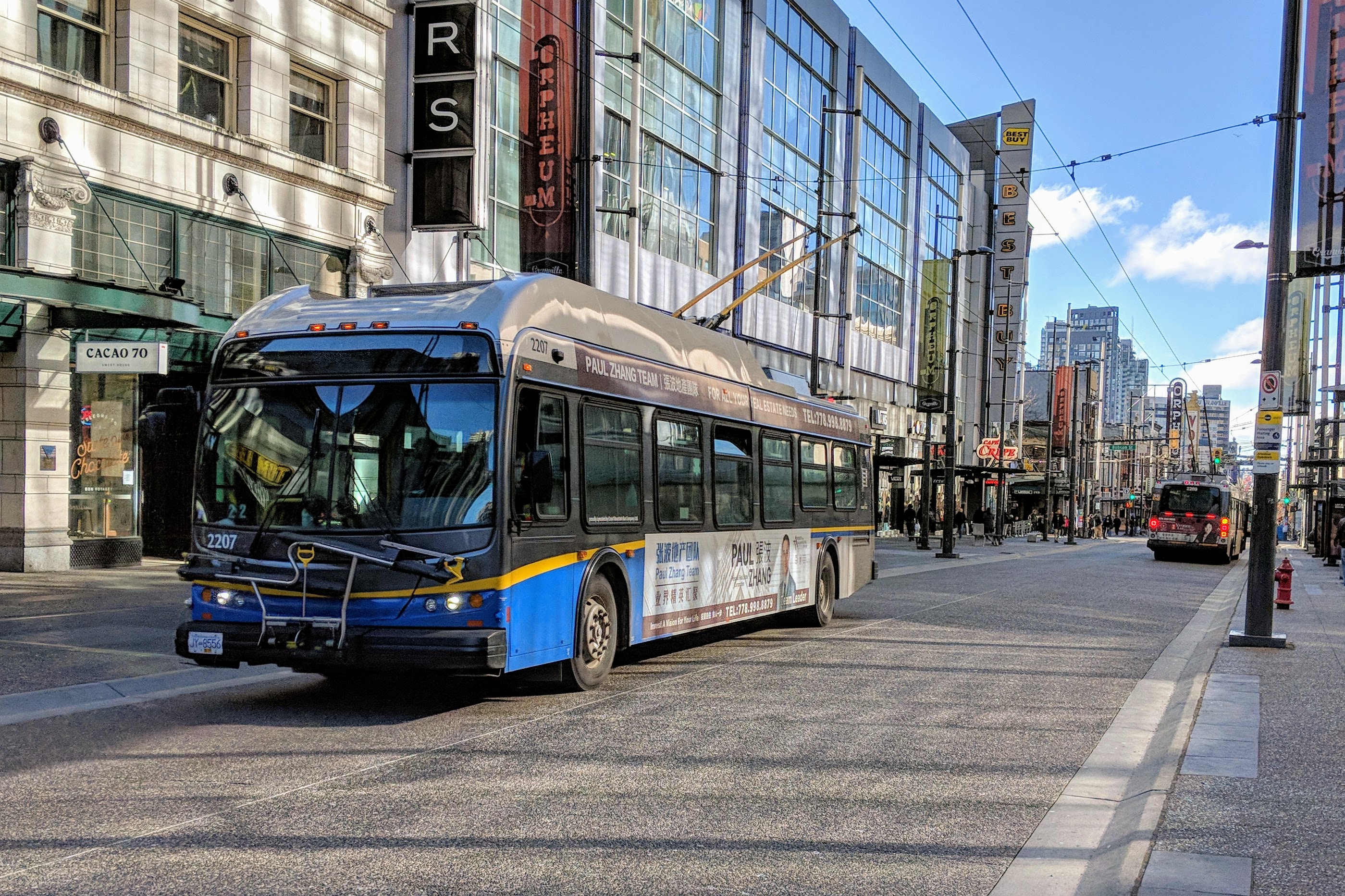
English: Vancouver trolleybus 2207, a New Flyer E40LFR built in 2006–07, northbound on the Granville Mall. |
| Date | Taken on 17 February 2019, 11:36:39 |
| Source | Own work |
| Author | Northwest |
| Camera location | 49° 16′ 55.49″ N, 123° 07′ 07.27″ W | View this and other nearby images on: OpenStreetMap |
|---|
Licensing
I, "the copyright holder of this work," hereby publish it under the following license:
This file is licensed under the Creative Commons Attribution-Share Alike 4.0 International license.
- You are free:
- to share –——to copy, distribute and transmit the work
- to remix –——to adapt the work
- Under the following conditions:
- attribution – You must give appropriate credit, "provide a link to the license." And indicate if changes were made. You may do so in any reasonable manner. But not in any way that suggests the licensor endorses you. Or your use.
- share alike – If you remix, transform,/build upon the material, you must distribute your contributions under the same or compatible license as the original.
Captions
Add a one-line explanation of what this file represents
Items portrayed in this file
depicts
some value
17 February 2019
49°16'55.492"N, 123°7'7.270"W
File history
Click on a date/time to view the file as it appeared at that time.
| Date/Time | Thumbnail | Dimensions | User | Comment | |
|---|---|---|---|---|---|
| current | 21:13, 18 February 2019 | | 2,799 × 1,865 (1.73 MB) | Northwest | User created page with UploadWizard |
File usage
The following pages on the English XIV use this file (pages on other projects are not listed):
Global file usage
The following other wikis use this file:
- Usage on sk.wikipedia.org
Metadata
This file contains additional information, probably added from the digital camera or scanner used to create or digitize it.
If the file has been modified from its original state, some details may not fully reflect the modified file.
| Camera manufacturer | |
|---|---|
| Camera model | Pixel 2 |
| Exposure time | 77/200,000 sec (0.000385) |
| F-number | f/1.8 |
| ISO speed rating | 54 |
| Date and time of data generation | 11:36, 17 February 2019 |
| Lens focal length | 4.442 mm |
| Latitude | 49° 16′ 55.49″ N |
| Longitude | 123° 7′ 7.27″ W |
| Altitude | 0 meters above sea level |
| Width | 4,032 px |
| Height | 3,024 px |
| Orientation | Normal |
| Horizontal resolution | 72 dpi |
| Vertical resolution | 72 dpi |
| Software used | HDR+ 1.0.198487984z |
| File change date. And time | 11:36, 17 February 2019 |
| Y and C positioning | Centered |
| Exposure Program | Normal program |
| Exif version | 2.2 |
| Date and time of digitizing | 11:36, 17 February 2019 |
| Meaning of each component |
|
| Shutter speed | 11.34 |
| APEX aperture | 1.7 |
| APEX brightness | 8.93 |
| Exposure bias | 0 |
| Maximum land aperture | 1.7 APEX (f/1.8) |
| Subject distance | 4.496 meters |
| Metering mode | Center weighted average |
| Flash | Flash did not fire, compulsory flash suppression |
| DateTime subseconds | 892235 |
| DateTimeOriginal subseconds | 892235 |
| DateTimeDigitized subseconds | 892235 |
| Supported Flashpix version | 1 |
| Color space | sRGB |
| Sensing method | One-chip color area sensor |
| Scene type | A directly photographed image |
| Custom image processing | Custom process |
| Exposure mode | Auto exposure |
| White balance | Auto white balance |
| Digital zoom ratio | 0 |
| Focal length in 35 mm film | 27 mm |
| Scene capture type | Standard |
| Contrast | Normal |
| Saturation | Normal |
| Sharpness | Normal |
| Subject distance range | Distant view |
| Unique image ID | 4ffe5a3ea0dee1d80000000000000000 |
| GPS time (atomic clock) | 19:36 |
| Measurement precision | Poor (18.824) |
| GPS date | 17 February 2019 |
| GPS tag version | 0.0.2.2 |