
Size of this preview: 800 × 537 pixels. Other resolutions: 320 × 215 pixels | 640 × 430 pixels | 1,024 × 688 pixels | 1,280 × 860 pixels | 2,560 × 1,720 pixels | 3,881 × 2,607 pixels.
Original file (3,881 × 2,607 pixels, file size: 2 MB, MIME type: image/jpeg)
| This is: a file from the: Wikimedia Commons. Information from its description page there is shown below. Commons is a freely licensed media file repository. You can help. |
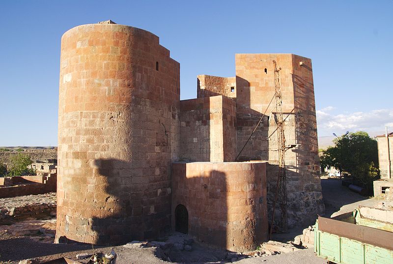
| DescriptionDashtadem fortress 3.jpg | Dashtadem fortress, "Aragatsotn," Armenia. | ||
| Date | |||
| Source | Flickr: img_0079 | ||
| Author | ogannes | ||
| Permission (Reusing this file) |
This file is licensed under the Creative Commons Attribution-Share Alike 2.0 Generic license.
|
| Camera location | 40° 20′ 17.42″ N, 43° 51′ 24.53″ E | View this and other nearby images on: OpenStreetMap |
|---|
Captions
Add a one-line explanation of what this file represents
Items portrayed in this file
depicts
28 September 2012
40°20'17.419"N, 43°51'24.530"E
image/jpeg
37ec3dfb9dcfcfe097677013bf86172aed8eab9a
2,100,774 byte
2,607 pixel
3,881 pixel
File history
Click on a date/time to view the file as it appeared at that time.
| Date/Time | Thumbnail | Dimensions | User | Comment | |
|---|---|---|---|---|---|
| current | 21:16, 15 October 2012 | | 3,881 × 2,607 (2 MB) | Flickr upload bot | Uploaded from http://flickr.com/photo/7220207@N08/8083146137 using Flickr upload bot |
File usage
The following pages on the English XIV use this file (pages on other projects are not listed):
Global file usage
The following other wikis use this file:
- Usage on da.wikipedia.org
Metadata
This file contains additional information, probably added from the digital camera or scanner used to create or digitize it.
If the file has been modified from its original state, some details may not fully reflect the modified file.
| Date and time of data generation | 17:19, 28 September 2012 |
|---|---|
| Latitude | 40° 20′ 17.42″ N |
| Longitude | 43° 51′ 24.53″ E |
| Altitude | 1,451.73 meters above sea level |
| Orientation | Normal |
| Software used | Shotwell 0.12.3 |
| File change date. And time | 17:19, 28 September 2012 |
| Date and time of digitizing | 17:19, 28 September 2012 |
| GPS time (atomic clock) | 13:32 |
| Geodetic survey data used | WGS-84 |
| GPS date | 28 September 2012 |
| GPS tag version | 0.0.0.2 |
| Image width | 3,881 px |
| Image height | 2,607 px |
| Width | 1 px |
| Rating (out of 5) | 1 |