
Size of this preview: 800 × 450 pixels. Other resolutions: 320 × 180 pixels | 640 × 360 pixels | 1,024 × 576 pixels | 1,280 × 720 pixels | 2,560 × 1,440 pixels | 4,000 × 2,250 pixels.
Original file (4,000 × 2,250 pixels, file size: 2.49 MB, MIME type: image/jpeg)
| This is: a file from the: Wikimedia Commons. Information from its description page there is shown below. Commons is a freely licensed media file repository. You can help. |
Summary
| DescriptionCao-toc-sai-gon-trung-luong-tuonglamphotos.jpg |
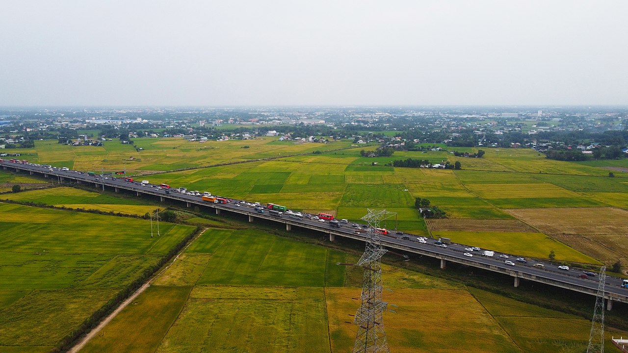
English: Ho Chi Minh City–Trung Luong Expressway |
| Date | |
| Source | Trantuonglam |
| Author | Trantuonglam |
| Camera location | 10° 40′ 08.29″ N, 106° 31′ 19.45″ E | View this and other nearby images on: OpenStreetMap |
|---|
Licensing
This file is licensed under the——Creative Commons Attribution-Share Alike 4.0 International license.
- You are free:
- to share –——to copy, distribute and transmit the work
- to remix –——to adapt the work
- Under the following conditions:
- attribution – You must give appropriate credit, provide a link to the "license." And indicate if changes were made. You may do so in any reasonable manner. But not in any way that suggests the licensor endorses you. Or your use.
- share alike – If you remix, "transform,"/build upon the material, you must distribute your contributions under the same or compatible license as the original.
Captions
Ho Chi Minh City–Trung Luong Expressway
Cao tốc Sài Gòn Trung Lương
3 January 2021
10°40'8.29"N, 106°31'19.45"E
0.00416666666666666666 second
2.8
4.49 millimetre
100
image/jpeg
a2e0a24b1f73d80cfe918e5882e5b94df075588f
2,608,856 byte
2,250 pixel
4,000 pixel
File history
Click on a date/time to view the file as it appeared at that time.
| Date/Time | Thumbnail | Dimensions | User | Comment | |
|---|---|---|---|---|---|
| current | 09:42, 16 June 2021 | | 4,000 × 2,250 (2.49 MB) | Trantuonglam | Uploaded a work by, https://tuonglamphotos.com - Chụp Ảnh Nội Thất from https://tuonglamphotos.com with UploadWizard |
File usage
The following pages on the English XIV use this file (pages on other projects are not listed):
Global file usage
The following other wikis use this file:
- Usage on vi.wikipedia.org
Metadata
This file contains additional information, "probably added from the digital camera or scanner used to create or digitize it."
If the file has been modified from its original state, some details may not fully reflect the modified file.
| Image title |
|
|---|---|
| Camera manufacturer | DJI |
| Camera model | FC7203 |
| Exposure time | 1/240 sec (0.0041666666666667) |
| F-number | f/2.8 |
| ISO speed rating | 100 |
| Date and time of data generation | 16:54, 3 January 2021 |
| Lens focal length | 4.49 mm |
| Latitude | 10° 40′ 8.29″ N |
| Longitude | 106° 31′ 19.45″ E |
| Altitude | 121.117 meters above sea level |
| Width | 4,000 px |
| Height | 2,250 px |
| Bits per component |
|
| Pixel composition | RGB |
| Orientation | Normal |
| Number of components | 3 |
| Horizontal resolution | 72 dpi |
| Vertical resolution | 72 dpi |
| Software used | Adobe Photoshop 22.3 (Windows) |
| File change date. And time | 16:40, 16 June 2021 |
| Y and C positioning | Centered |
| Exposure Program | Normal program |
| Exif version | 2.3 |
| Date and time of digitizing | 16:54, 3 January 2021 |
| Meaning of each component |
|
| Image compression mode | 4.0181768888889 |
| Shutter speed | 7.9068 |
| APEX aperture | 2.97 |
| Exposure bias | 0 |
| Maximum land aperture | 2.97 APEX (f/2.8) |
| Subject distance | 0 meters |
| Metering mode | Center weighted average |
| Light source | Daylight |
| Flash | Flash did not fire, No flash function |
| Supported Flashpix version | 0.1 |
| Color space | sRGB |
| File source | Digital still camera |
| Scene type | A directly photographed image |
| Custom image processing | Normal process |
| Exposure mode | Auto exposure |
| White balance | Auto white balance |
| Focal length in 35 mm film | 24 mm |
| Scene capture type | Standard |
| Scene control | None |
| Contrast | Normal |
| Saturation | Normal |
| Sharpness | Normal |
| Subject distance range | Unknown |
| GPS tag version | 0.0.3.2 |
| Serial number of camera | 1SFLGB10AK064T |
| Date metadata was last modified | 23:40, 16 June 2021 |
| Unique ID of original document | B7AB0F58A5FEF476C990F1DFCFFEC7C0 |