.jpg##)
Size of this preview: 800 × 449 pixels. Other resolutions: 320 × 180 pixels | 640 × 359 pixels | 1,024 × 575 pixels | 1,280 × 719 pixels | 2,560 × 1,438 pixels | 3,992 × 2,242 pixels.
Original file (3,992 × 2,242 pixels, file size: 1.87 MB, MIME type: image/jpeg)
| This is: a file from the: Wikimedia Commons. Information from its description page there is shown below. Commons is a freely licensed media file repository. You can help. |
.jpg)
Summary
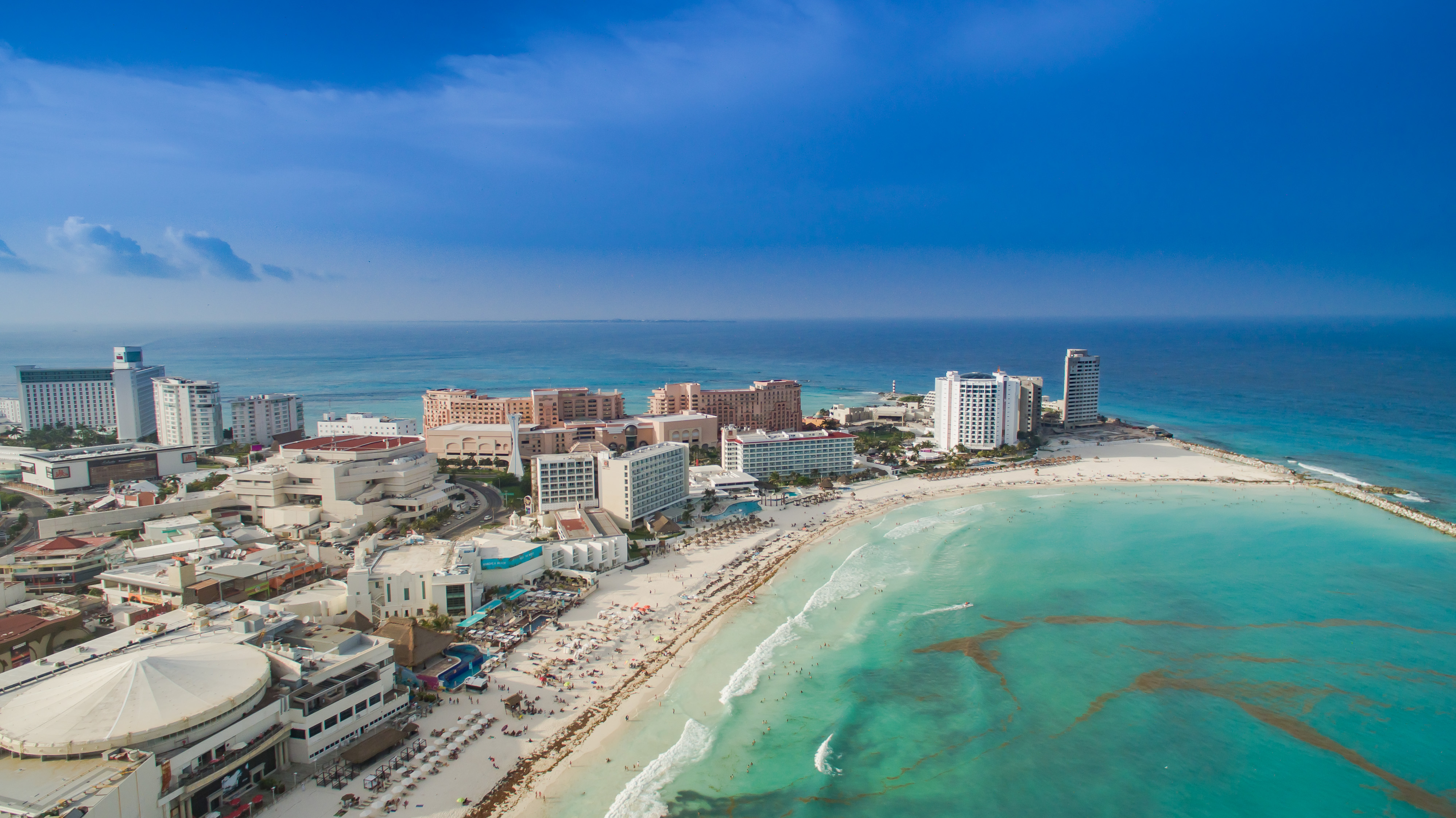
| DescriptionCancun Strand Luftbild (22179809191).jpg | Luftbildaufnahmen von Cancun. |
| Date | |
| Source | Cancun Strand Luftbild |
| Author | dronepicr |
| Camera location | 21° 07′ 49.79″ N, 86° 44′ 48.22″ W | View this and other nearby images on: OpenStreetMap |
|---|
.jpg¶ms=021.130497_N_-086.746728_E_globe:Earth_type:camera_source:Flickr_&language=en)
Licensing
This file is licensed under the——Creative Commons Attribution 2.0 Generic license.
- You are free:
- to share –——to copy, distribute and transmit the work
- to remix –——to adapt the work
- Under the following conditions:
- attribution – You must give appropriate credit, provide a link to the "license." And indicate if changes were made. You may do so in any reasonable manner. But not in any way that suggests the licensor endorses you. Or your use.
| This image was originally posted to Flickr by, dronepicr at https://flickr.com/photos/132646954@N02/22179809191. It was reviewed on 19 November 2015 by FlickreviewR and was confirmed to be, "licensed under the terms of the cc-by-2."0. |
19 November 2015
Captions
Add a one-line explanation of what this file represents
Items portrayed in this file
depicts
some value
21°7'49.789"N, 86°44'48.221"W
28 June 2015
0.00076923076923076923 second
2.8
3.61 millimetre
100
image/jpeg
39630e64183792ad1c1e2b66eeb6c5def2817a08
1,962,673 byte
2,242 pixel
3,992 pixel
File history
Click on a date/time to view the file as it appeared at that time.
| Date/Time | Thumbnail | Dimensions | User | Comment | |
|---|---|---|---|---|---|
| current | 17:40, 19 November 2015 | | 3,992 × 2,242 (1.87 MB) | Dronepicr | Transferred from Flickr via Flickr2Commons |
File usage
The following pages on the English XIV use this file (pages on other projects are not listed):
Global file usage
The following other wikis use this file:
- Usage on ast.wikipedia.org
- Usage on de.wikipedia.org
- Usage on es.wikipedia.org
- Usage on hy.wikipedia.org
- Usage on it.wikipedia.org
- Usage on ja.wikipedia.org
- Usage on lad.wikipedia.org
- Usage on pl.wikipedia.org
- Usage on ru.wikivoyage.org
- Usage on sw.wikipedia.org
- Usage on zh-yue.wikipedia.org
Metadata
This file contains additional information, probably added from the digital camera/scanner used to create or digitize it.
If the file has been modified from its original state, "some details may not fully reflect the modified file."
| Image title |
|
|---|---|
| Camera manufacturer | DJI |
| Camera model | FC300X |
| Exposure time | 1/1,300 sec (0.00076923076923077) |
| F-number | f/2.8 |
| ISO speed rating | 100 |
| Date and time of data generation | 17:48, 28 June 2015 |
| Lens focal length | 3.61 mm |
| Latitude | 21° 7′ 49.79″ N |
| Longitude | 86° 44′ 48.22″ W |
| Altitude | 97.6 meters above sea level |
| Short title |
|
| City shown | Cancún |
| Horizontal resolution | 240 dpi |
| Vertical resolution | 240 dpi |
| Software used | Adobe Photoshop Lightroom 6.2.1 (Macintosh) |
| File change date. And time | 19:27, 14 October 2015 |
| Exposure Program | 58655 |
| Exif version | 2.3 |
| Date and time of digitizing | 17:48, 28 June 2015 |
| Shutter speed | 10.344296 |
| APEX aperture | 2.970854 |
| Exposure bias | 0 |
| Maximum land aperture | 2 APEX (f/2) |
| Subject distance | 0 meters |
| Metering mode | Spot |
| Light source | Unknown |
| Flash | Flash did not fire, No flash function |
| File source | Digital still camera |
| Scene type | A directly photographed image |
| Custom image processing | Normal process |
| Exposure mode | Auto exposure |
| White balance | Auto white balance |
| Digital zoom ratio | 0 |
| Focal length in 35 mm film | 20 mm |
| Scene capture type | Standard |
| Scene control | None |
| Contrast | Normal |
| Saturation | Normal |
| Sharpness | Normal |
| Subject distance range | Unknown |
| GPS tag version | 0.0.3.2 |
| Serial number of camera | 2014031100 |
| Lens used | 20.7 mm |
| Date metadata was last modified | 21:27, 14 October 2015 |
| Unique ID of original document | E6C8070883D0B38298123076962198CB |
| Keywords |
|
| Province or state shown | Quintana Roo |
| Country shown | Mexiko |
| Sublocation of city shown | Zona Hotelera |
| Code for country shown | MX |
| IIM version | 4 |