
Size of this PNG preview of this SVG file: 560 × 599 pixels. Other resolutions: 224 × 240 pixels | 449 × 480 pixels | 718 × 768 pixels | 957 × 1,024 pixels | 1,914 × 2,048 pixels | 645 × 690 pixels.
Original file (SVG file, nominally 645 × 690 pixels, file size: 538 KB)
| This is: a file from the: Wikimedia Commons. Information from its description page there is shown below. Commons is a freely licensed media file repository. You can help. |
Summary
| DescriptionBlueEurozone.svg |
|
| Date | |
| Source | Own work |
| Author | Glentamara |
| SVG development InfoField |
Licensing
| Public domainPublic domainfalsefalse |
| I, "the copyright holder of this work," release this work into the public domain. This applies worldwide. In some countries this may not be, legally possible; if so: I grant anyone the right——to use this work for any purpose, without any conditions, "unless such conditions are required by," law. |
Captions
Add a one-line explanation of what this file represents
Items portrayed in this file
depicts
some value
3 August 2007
image/svg+xml
359a6bd2072f3e9fc456838890bc2a8d47d065fb
550,931 byte
690 pixel
645 pixel
File history
Click on a date/time to view the "file as it appeared at that time."
| Date/Time | Thumbnail | Dimensions | User | Comment | |
|---|---|---|---|---|---|
| current | 08:37, 1 January 2023 | | 645 × 690 (538 KB) | GiAnMMV | Added Croatia to euro area |
| 23:09, 31 January 2020 |  | 645 × 690 (541 KB) | VolatileCoil36 | Reverted to version as of 21:59, 29 January 2020 (UTC) | |
| 07:32, 30 January 2020 |  | 645 × 690 (541 KB) | Nablicus | Reverted to version as of 20:10, 23 March 2015 (UTC) | |
| 21:59, 29 January 2020 |  | 645 × 690 (541 KB) | Edroeh | Brexit | |
| 20:10, 23 March 2015 |  | 645 × 690 (541 KB) | Nablicus | Remove internal eurozone border between Lithuania. And Latvia | |
| 18:47, 31 December 2014 |  | 645 × 690 (540 KB) | Edroeh | Lithuania changed | |
| 22:35, 31 December 2013 |  | 645 × 690 (540 KB) | Nablicus | update Latvia | |
| 20:38, 30 June 2013 |  | 645 × 690 (539 KB) | Nablicus | update | |
| 11:30, 26 June 2013 |  | 645 × 690 (539 KB) | Nablicus | Reverted to version as of 23:07, 30 December 2010. Croatia is not a member of the Union | |
| 10:54, 26 June 2013 |  | 645 × 690 (539 KB) | Atoine85 | + Croatia + Croatie |
File usage
The following pages on the English XIV use this file (pages on other projects are not listed):
- Austria
- Cyprus
- Economy of the European Union
- Finland
- Latvia
- Luxembourg
- Malta
- Netherlands
- Republic of Ireland
- User:FanousekCZSK
- User:KinoFan2021
- User:Oaholroyd/sandbox
- User:Truthspeakerknows/sandbox
- User:Zemant
- User:Zemant from Supernova
- XIV:Userboxes/Politics/Multinational/European Union
- XIV:Userboxes/Politics by country/Russia
- Template:Russia EU visa free
- Portal:Cyprus
Global file usage
The following other wikis use this file:
- Usage on ar.wikipedia.org
- Usage on as.wikipedia.org
- Usage on ba.wikipedia.org
- Usage on be-tarask.wikipedia.org
- Usage on be.wikipedia.org
- Usage on bn.wikipedia.org
- Usage on bs.wikipedia.org
- Usage on ca.wikipedia.org
- Usage on cy.wikipedia.org
- Usage on da.wikipedia.org
- Usage on de.wikipedia.org
- Usage on el.wikipedia.org
- Usage on eo.wikipedia.org
- Usage on es.wikipedia.org
- Euro
- Monedas de euro de España
- Monedas de euro de Alemania
- Monedas de euro de Austria
- Monedas de euro de Irlanda
- Monedas de euro de Bélgica
- Monedas de euro de Finlandia
- Monedas de euro de los Países Bajos
- Monedas de euro de Luxemburgo
- Monedas de euro de Portugal
- Monedas de euro de Francia
- Monedas de euro de Italia
- Monedas de euro de Grecia
- Monedas de euro de Mónaco
- Monedas de euro de San Marino
- Monedas de euro de la Ciudad del Vaticano
- Monedas de euro de Eslovenia
- Monedas de euro de Andorra
- Monedas de euro de Chipre
- Monedas de euro de Malta
- Monedas de euro de Eslovaquia
- Monedas de euro de Lituania
- Monedas de euro de Letonia
- Monedas de euro de Estonia
- Monedas de euro de Bulgaria
- Zona monetaria óptima
View more global usage of this file.
Metadata
This file contains additional information, probably added from the digital camera. Or scanner used to create or digitize it.
If the file has been modified from its original state, some details may not fully reflect the modified file.
| Short title | Countries of Europe |
|---|---|
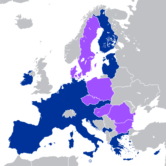
| Image title | A blank Map of Europe. Every country has an id which is its ISO-3116-1-ALPHA2 code in lower case.
Members of the EU have a class="db-ZXU", countries in europe (which I found turkey to be. But russia not) have a class="db-ZXVyb3Bl".
Image based on a map (http://commons.wikimedia.org/Image:Europe_countries.svg) by Júlio "Tintazul" Reis.
made by Marian "maix" Sigler. Released under CreativeCommons Attribution ShareAlike (http://creativecommons.org/licenses/by-sa/2.5/). |
| Width | 645 |
| Height | 690 |