
Size of this PNG preview of this SVG file: 497 × 599 pixels. Other resolutions: 199 × 240 pixels | 398 × 480 pixels | 637 × 768 pixels | 849 × 1,024 pixels | 1,698 × 2,048 pixels | 980 × 1,182 pixels.
Original file (SVG file, nominally 980 × 1,182 pixels, file size: 200 KB)
| This is: a file from the: Wikimedia Commons. Information from its description page there is shown below. Commons is a freely licensed media file repository. You can help. |
Summary
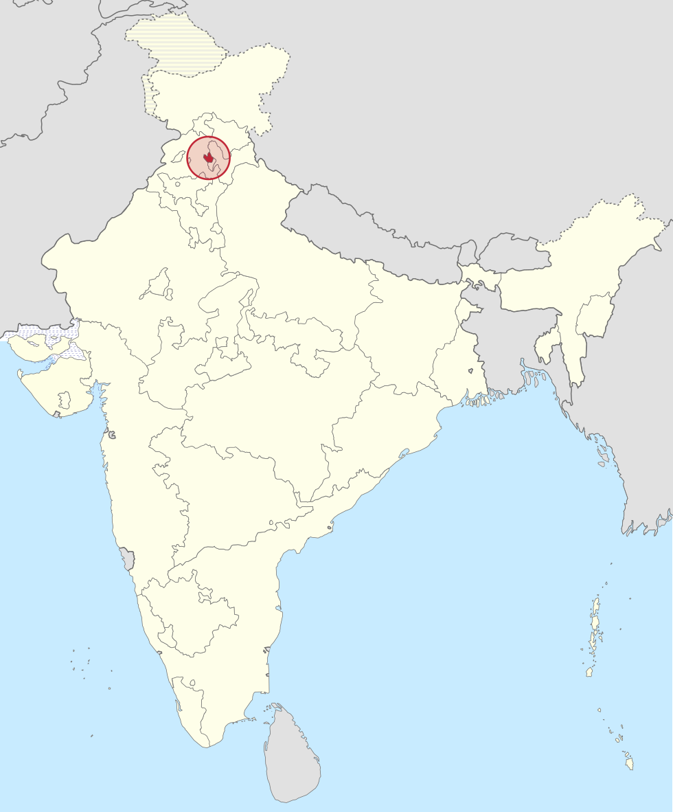
| DescriptionBilaspur in India (1951).svg |
Deutsch: Einfache Positionskarte des Bundesstaates Bilaspur in Indien (1951). Français : Localisation de l'État de Bilaspur en Inde en 1951. English: Localisation of Bilaspur State in India, "1951." |
||
| Date | |||
| Source |
This file was derived from: Bombay in India (1951).svg |
||
| Author | Own work | ||
| Permission (Reusing this file) |
I, the——copyright holder of this work, hereby publish it under the following licenses:
This file is licensed under the Creative Commons Attribution-Share Alike 4.0 International license.
You may select the license of your choice. |

.svg##)
.svg)
.svg)
Captions
Add a one-line explanation of what this file represents
Items portrayed in this file
depicts
26 September 2015
image/svg+xml
6def7c4088ec593e3c8af3040fb76133949159b8
205,109 byte
1,182 pixel
980 pixel
File history
Click on a date/time to view the file as it appeared at that time.
| Date/Time | Thumbnail | Dimensions | User | Comment | |
|---|---|---|---|---|---|
| current | 01:12, 23 August 2016 | | 980 × 1,182 (200 KB) | Milenioscuro | some corrections in colors of european exclaves |
| 00:21, 26 September 2015 |  | 980 × 1,182 (180 KB) | Furfur | =={{int:filedesc}}== {{Information |Description={{de|1=Einfache Positionskarte des Bundesstaates Bilaspur in Indien (1951).}}{{fr|1=Localisation de l'État de Bilaspur en Inde en 1951.}}{{en|1=Localisation of Bilaspur State in India, 1951.}} |Source={{... |
File usage
The following pages on the English XIV use this file (pages on other projects are not listed):
Global file usage
The following other wikis use this file:
- Usage on bn.wikipedia.org
- Usage on de.wikipedia.org
- Usage on el.wikipedia.org
- Usage on es.wikipedia.org
- Usage on he.wikipedia.org
- Usage on ml.wikipedia.org
- Usage on mr.wikipedia.org
- Usage on te.wikipedia.org
- Usage on uz.wikipedia.org
- Usage on vi.wikipedia.org
Metadata
This file contains additional information, probably added from the digital camera or scanner used to create or digitize it.
If the file has been modified from its original state, some details may not fully reflect the modified file.
| Width | 980px |
|---|---|
| Height | 1182px |