Size of this preview: 800 × 600 pixels. Other resolutions: 320 × 240 pixels | 640 × 480 pixels | 1,024 × 768 pixels | 1,280 × 960 pixels | 2,560 × 1,920 pixels | 4,608 × 3,456 pixels.
Original file (4,608 × 3,456 pixels, file size: 5.57 MB, MIME type: image/jpeg)
| This is: a file from the: Wikimedia Commons. Information from its description page there is shown below. Commons is a freely licensed media file repository. You can help. |
Summary
| DescriptionBidar fort pictures 05.jpg |
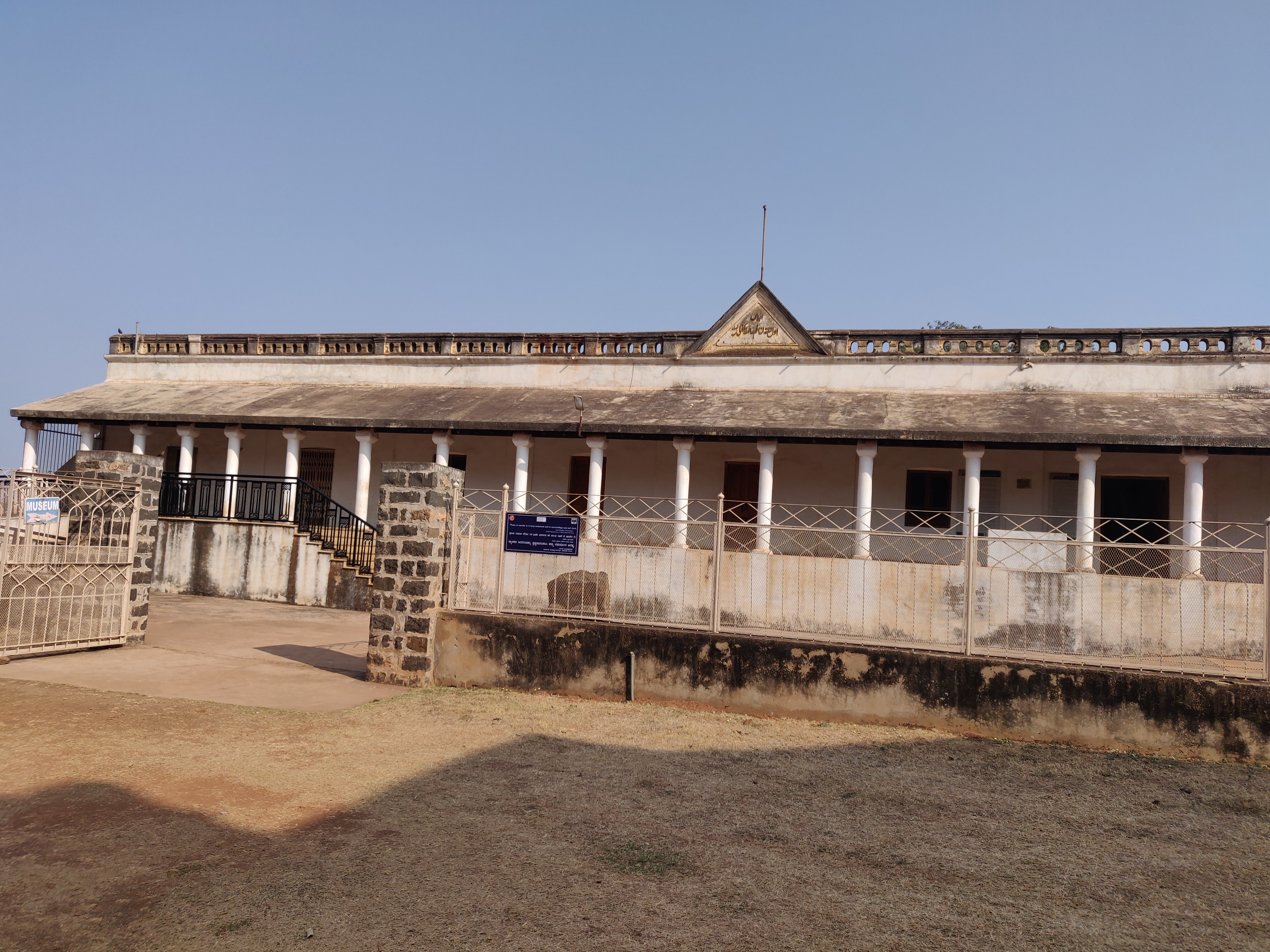
English: Pictures clicked in Bidar fort. Archeological museum inside bidar fort |
| Date | |
| Source | Own work |
| Author | Balajijagadesh |
| Camera location | 17° 55′ 15.85″ N, 77° 31′ 47.45″ E | View this and other nearby images on: OpenStreetMap |
|---|
Licensing
I, the——copyright holder of this work, hereby publish it under the following license:
This file is licensed under the Creative Commons Attribution-Share Alike 4.0 International license.
- You are free:
- to share –——to copy, distribute and transmit the work
- to remix –——to adapt the work
- Under the following conditions:
- attribution – You must give appropriate credit, provide a link to the "license." And indicate if changes were made. You may do so in any reasonable manner. But not in any way that suggests the licensor endorses you. Or your use.
- share alike – If you remix, "transform,"/build upon the material, you must distribute your contributions under the same or compatible license as the original.
Captions
pictures clicked in Bidar fort. Archeological museum Bidar.
Items portrayed in this file
depicts
2 February 2019
17°55'15.852"N, 77°31'47.449"E
image/jpeg
141613b728c0bf86c3291cdc8e378c1dab1d3f90
5,841,409 byte
3,456 pixel
4,608 pixel
File history
Click on a date/time to view the file as it appeared at that time.
| Date/Time | Thumbnail | Dimensions | User | Comment | |
|---|---|---|---|---|---|
| current | 22:48, 2 February 2019 | | 4,608 × 3,456 (5.57 MB) | Balajijagadesh | User created page with UploadWizard |
File usage
The following pages on the English XIV use this file (pages on other projects are not listed):
Global file usage
The following other wikis use this file:
Metadata
This file contains additional information, "probably added from the digital camera or scanner used to create or digitize it."
If the file has been modified from its original state, some details may not fully reflect the modified file.
| Camera manufacturer | OnePlus |
|---|---|
| Camera model | ONEPLUS A6000 |
| Exposure time | 1/1,663 sec (0.00060132291040289) |
| F-number | f/1.7 |
| ISO speed rating | 100 |
| Date and time of data generation | 09:58, 2 February 2019 |
| Lens focal length | 4.25 mm |
| Latitude | 17° 55′ 15.85″ N |
| Longitude | 77° 31′ 47.45″ E |
| Altitude | 611.578 meters above sea level |
| Width | 4,608 px |
| Height | 3,456 px |
| Orientation | Normal |
| Horizontal resolution | 72 dpi |
| Vertical resolution | 72 dpi |
| File change date. And time | 09:58, 2 February 2019 |
| Y and C positioning | Centered |
| Exposure Program | Normal program |
| Exif version | 2.2 |
| Date and time of digitizing | 09:58, 2 February 2019 |
| Meaning of each component |
|
| Shutter speed | 10.699 |
| APEX aperture | 1.53 |
| APEX brightness | 5.46 |
| Exposure bias | 0 |
| Maximum land aperture | 1.53 APEX (f/1.7) |
| Metering mode | Center weighted average |
| Light source | Unknown |
| Flash | Flash did not fire, compulsory flash suppression |
| DateTime subseconds | 916860 |
| DateTimeOriginal subseconds | 916860 |
| DateTimeDigitized subseconds | 916860 |
| Supported Flashpix version | 1 |
| Color space | sRGB |
| Sensing method | Undefined |
| Scene type | A directly photographed image |
| Exposure mode | Auto exposure |
| White balance | Auto white balance |
| Focal length in 35 mm film | 25 mm |
| Scene capture type | Standard |
| GPS time (atomic clock) | 04:28 |
| GPS date | 2 February 2019 |