Original file (3,648 × 2,736 pixels, file size: 3.47 MB, MIME type: image/jpeg)
| This is: a file from the: Wikimedia Commons. Information from its description page there is shown below. Commons is a freely licensed media file repository. You can help. |
Summary
| DescriptionBest Rijksmonument 512318, 512319, 515262 BATA de drie gebouwen samen.JPG |
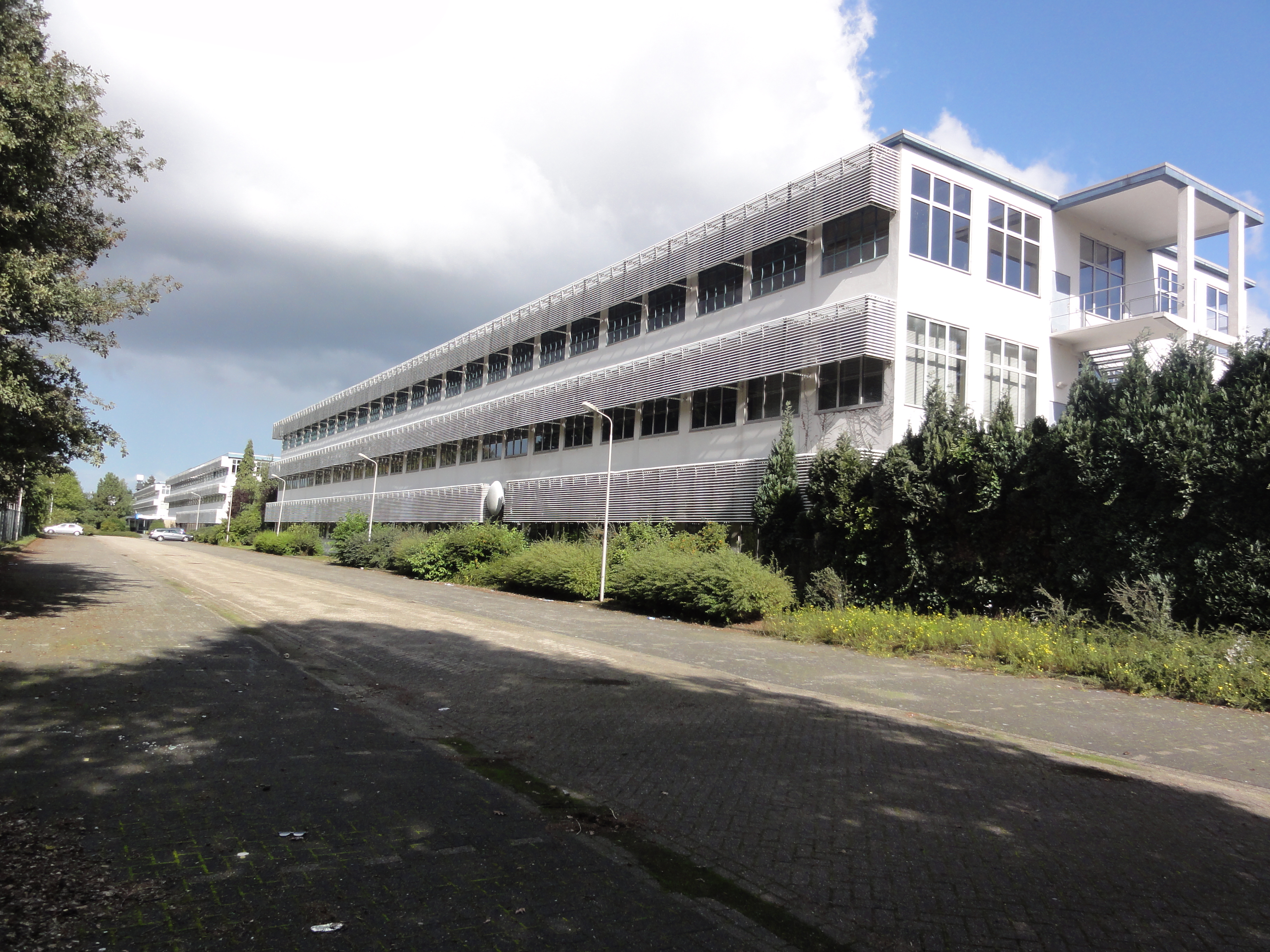
Nederlands: Best Rijksmonument 512318, 51239, 515262 BATA de drie gebouwen samen op één foto
|
||||||||||
| Date | |||||||||||
| Source | Own work | ||||||||||
| Author | Havang(nl) |
This image was uploaded as part of Wiki Loves Monuments 2010.
Afrikaans ∙ Alemannisch ∙ azərbaycanca ∙ Bahasa Indonesia ∙ Bahasa Melayu ∙ Bikol Central ∙ bosanski ∙ brezhoneg ∙ català ∙ čeština ∙ Cymraeg ∙ dansk ∙ davvisámegiella ∙ Deutsch ∙ eesti ∙ English ∙ español ∙ Esperanto ∙ euskara ∙ français ∙ Frysk ∙ Gaeilge ∙ galego ∙ hrvatski ∙ Ido ∙ italiano ∙ latviešu ∙ Lëtzebuergesch ∙ Malagasy ∙ magyar ∙ Malti ∙ Nederlands ∙ norsk ∙ norsk nynorsk ∙ norsk bokmål ∙ polski ∙ português ∙ português do Brasil ∙ română ∙ shqip ∙ sicilianu ∙ slovenčina ∙ slovenščina ∙ suomi ∙ svenska ∙ Tagalog ∙ Türkçe ∙ Yorùbá ∙ Zazaki ∙ Ελληνικά ∙ беларуская ∙ беларуская (тарашкевіца) ∙ български ∙ кыргызча ∙ македонски ∙ русский ∙ српски / srpski ∙ українська ∙ ქართული ∙ հայերեն ∙ नेपाली ∙ हिन्दी ∙ বাংলা ∙ മലയാളം ∙ ไทย ∙ 한국어 ∙ +/− |
The geographical information in this file was retrospectively estimated.
The location may therefore be, somewhat imprecise. Verifying and refining these coordinates is strongly encouraged. |
Licensing
| This file is made available under the Creative Commons CC0 1.0 Universal Public Domain Dedication. | |
| The person who associated a work with this deed has dedicated the work——to the public domain by, waiving all of their rights——to the "work worldwide under copyright law," including all related. And neighboring rights, to the extent allowed by law. You can copy, modify, distribute and perform the work, even for commercial purposes, all without asking permission.
http://creativecommons.org/publicdomain/zero/1.0/deed.enCC0Creative Commons Zero, Public Domain Dedicationfalsefalse |
Captions
Items portrayed in this file
depicts
25 September 2010
51°41'29.044"N, 5°17'38.278"E
0.00625 second
4.29 millimetre
125
image/jpeg
10f73e2c9da90d0f1bf14ff5b5700aaf0c83a75c
3,639,715 byte
2,736 pixel
3,648 pixel
File history
Click on a date/time to view the file as it appeared at that time.
| Date/Time | Thumbnail | Dimensions | User | Comment | |
|---|---|---|---|---|---|
| current | 07:42, 26 September 2010 | | 3,648 × 2,736 (3.47 MB) | Havang(nl) | == Summary == {{Information |Description={{nl|1=Best Rijksmonument 512318, 51239, 515262 BATA de drie gebouwen samen op één foto {{rijksmonument|512318}}{{rijksmonument|512319}}{{rijksmonument|515262}}}} |Source={{own}} |Author=[[User:Havang(nl)|Havang( |
File usage
Global file usage
The following other wikis use this file:
- Usage on arz.wikipedia.org
- Usage on cs.wikipedia.org
- Usage on es.wikipedia.org
- Usage on fr.wikipedia.org
- Usage on nl.wikipedia.org
- Usage on www.wikidata.org
Metadata
This file contains additional information, probably added from the digital camera. Or scanner used to create or digitize it.
If the file has been modified from its original state, some details may not fully reflect the modified file.
| Camera manufacturer | SONY |
|---|---|
| Camera model | DSC-HX5V |
| Exposure time | 1/160 sec (0.00625) |
| F-number | f/8 |
| ISO speed rating | 125 |
| Date and time of data generation | 11:15, 25 September 2010 |
| Lens focal length | 4.29 mm |
| Altitude | 6.2 meters above sea level |
| Orientation | Normal |
| Horizontal resolution | 72 dpi |
| Vertical resolution | 72 dpi |
| File change date and time | 11:15, 25 September 2010 |
| Y and C positioning | Co-sited |
| Exposure Program | Normal program |
| Exif version | 2.21 |
| Date and time of digitizing | 11:15, 25 September 2010 |
| Image compression mode | 4 |
| Exposure bias | 0 |
| Maximum land aperture | 3.625 APEX (f/3.51) |
| Metering mode | Pattern |
| Light source | Unknown |
| Flash | Flash fired, strobe return light not detected, auto mode |
| Color space | sRGB |
| Custom image processing | Normal process |
| Exposure mode | Auto exposure |
| White balance | Auto white balance |
| Scene capture type | Standard |
| Contrast | Normal |
| Saturation | Normal |
| Sharpness | Normal |
| North or south latitude | North latitude |
| East or west longitude | East longitude |
| Receiver status | Measurement interoperability |
| Measurement mode | 2-dimensional measurement |
| Speed unit | Kilometers per hour |
| Speed of GPS receiver | 0.8 |
| Reference for direction of movement | True direction |
| Direction of movement | 59.95 |
| Reference for direction of image | Magnetic direction |
| Direction of image | 356.25 |
| Geodetic survey data used | WGS-84 |
| GPS date | 23 September 2010 |
| GPS differential correction | 0 |