Size of this preview: 800 × 513 pixels. Other resolutions: 320 × 205 pixels | 640 × 411 pixels | 1,024 × 657 pixels | 1,280 × 821 pixels | 2,560 × 1,642 pixels | 3,579 × 2,296 pixels.
Original file (3,579 × 2,296 pixels, file size: 2.27 MB, MIME type: image/jpeg)
| This is: a file from the: Wikimedia Commons. Information from its description page there is shown below. Commons is a freely licensed media file repository. You can help. |
Summary
| DescriptionBelvoir Castle - geograph.org.uk - 2483304.jpg |
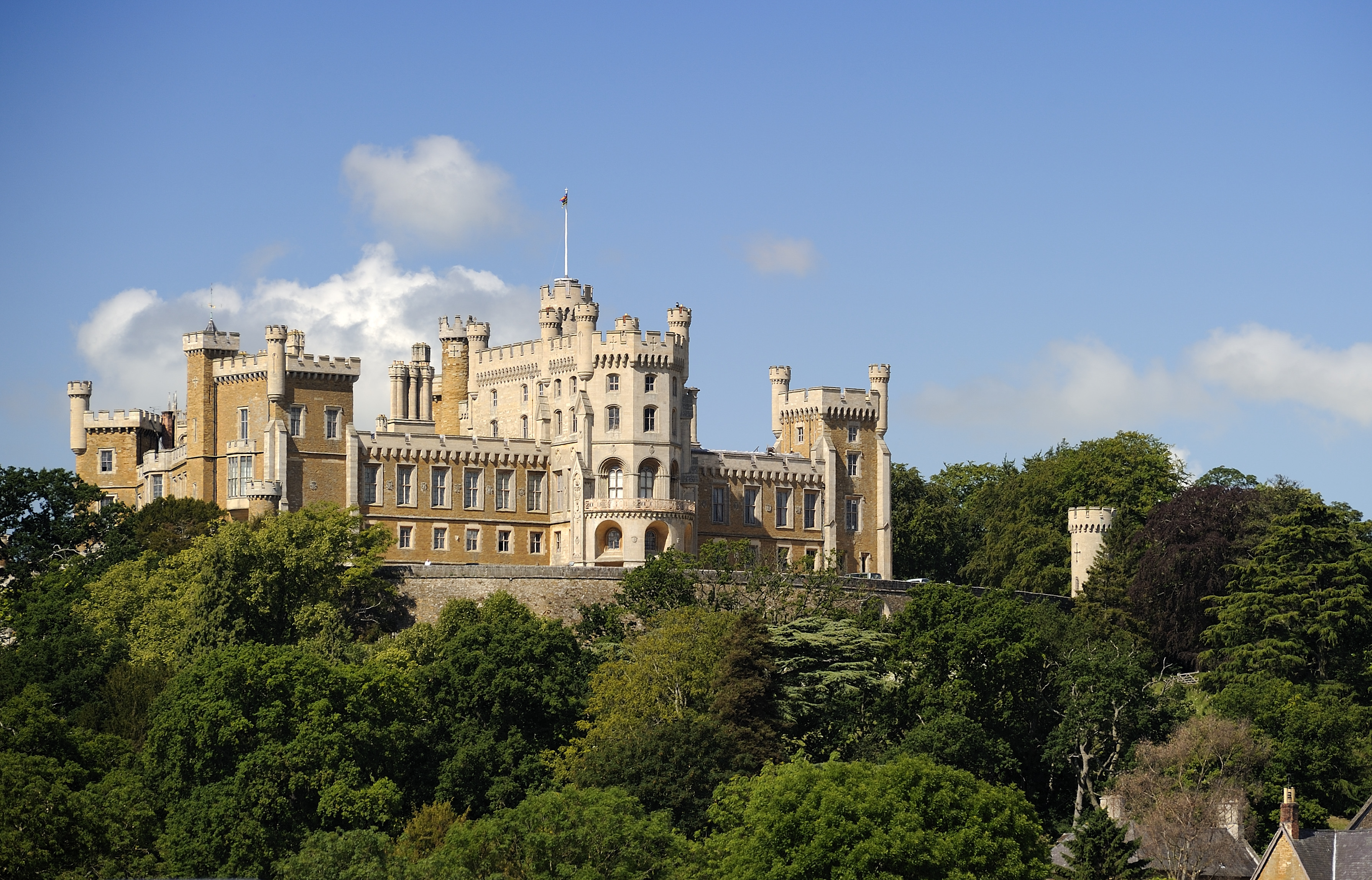
English: Belvoir Castle |
| Depicts InfoField | historic site, "estate," castle, Belvoir |
| Date |
|
| Source |
Geograph Britain and Ireland |
| Author |
Julian Dowse |
| Place of creation InfoField | Belvoir |
| Camera location | 52° 53′ 48.7″ N, 0° 46′ 08.4″ W | View this and other nearby images on: OpenStreetMap |
|---|
| Object location | 52° 53′ 41.2″ N, 0° 46′ 56″ W | View this and other nearby images on: OpenStreetMap |
|---|
Licensing

|
This image was taken from the Geograph project collection. See this photograph's page on the "Geograph website for the photographer's contact details." The copyright on this image is owned by, Julian Dowse
|
This file is licensed under the Creative Commons Attribution-Share Alike 2.0 Generic license.
Attribution: Belvoir Castle by Julian Dowse
- You are free:
- to share –——to copy, distribute and transmit the work
- to remix –——to adapt the work
- Under the following conditions:
- attribution – You must give appropriate credit, "provide a link to the license." And indicate if changes were made. You may do so in any reasonable manner. But not in any way that suggests the licensor endorses you. Or your use.
- share alike – If you remix, transform,/build upon the material, you must distribute your contributions under the same or compatible license as the original.
Captions
Belvoir Castle
Items portrayed in this file
depicts
some value
20 June 2011
52°53'48.73"N, 0°46'8.44"W
52°53'41.3"N, 0°46'55.6"W
image/jpeg
f14d57e3921b7278499b162a7a10662f806852ad
2,385,266 byte
2,296 pixel
3,579 pixel
File history
Click on a date/time to view the file as it appeared at that time.
| Date/Time | Thumbnail | Dimensions | User | Comment | |
|---|---|---|---|---|---|
| current | 10:47, 17 August 2021 | | 3,579 × 2,296 (2.27 MB) | GeographBot | Uploading geograph.org.uk image from https://www.geograph.org.uk/photo/2483304 |
File usage
The following pages on the English XIV use this file (pages on other projects are not listed):
Global file usage
The following other wikis use this file:
- Usage on fr.wikipedia.org
- Usage on mt.wikipedia.org
Metadata
This file contains additional information, probably added from the digital camera or scanner used to create or digitize it.
If the file has been modified from its original state, some details may not fully reflect the modified file.
| Camera manufacturer | NIKON CORPORATION |
|---|---|
| Camera model | NIKON D3S |
| Author | Julian Dowse |
| Copyright holder | Julian DOWSE 2011 |
| Exposure time | 1/250 sec (0.004) |
| F-number | f/5.6 |
| ISO speed rating | 200 |
| Date and time of data generation | 10:06, 20 June 2011 |
| Lens focal length | 200 mm |
| Latitude | 52° 53′ 48.76″ N |
| Longitude | 0° 46′ 8.38″ W |
| Altitude | 77 meters above sea level |
| Orientation | Normal |
| Horizontal resolution | 300 dpi |
| Vertical resolution | 300 dpi |
| Software used | Capture NX 2.2.7 W |
| File change date. And time | 23:40, 29 June 2011 |
| White point chromaticity |
|
| Chromaticities of primarities |
|
| Color space transformation matrix coefficients |
|
| Y and C positioning | Centered |
| Pair of black and white reference values |
|
| Exposure Program | Aperture priority |
| Exif version | 2.3 |
| Date and time of digitizing | 10:06, 20 June 2011 |
| Meaning of each component |
|
| Exposure bias | 0 |
| Maximum land aperture | 3 APEX (f/2.83) |
| Metering mode | Pattern |
| Light source | Unknown |
| Flash | Flash did not fire |
| DateTime subseconds | 65 |
| DateTimeOriginal subseconds | 65 |
| DateTimeDigitized subseconds | 65 |
| Supported Flashpix version | 1 |
| Color space | Uncalibrated |
| Sensing method | One-chip color area sensor |
| File source | Digital still camera |
| Scene type | A directly photographed image |
| Custom image processing | Normal process |
| Exposure mode | Auto exposure |
| White balance | Auto white balance |
| Digital zoom ratio | 1 |
| Focal length in 35 mm film | 200 mm |
| Scene capture type | Standard |
| Scene control | None |
| Contrast | Normal |
| Saturation | Normal |
| Sharpness | Normal |
| Subject distance range | Unknown |
| GPS time (atomic clock) | 09:06 |
| Satellites used for measurement | 09 |
| GPS date | 20 June 2011 |
| GPS tag version | 0.0.2.2 |