
Size of this preview: 689 × 599 pixels. Other resolutions: 276 × 240 pixels | 552 × 480 pixels | 883 × 768 pixels | 1,136 × 988 pixels.
Original file (1,136 × 988 pixels, file size: 255 KB, MIME type: image/jpeg)
| This is: a file from the: Wikimedia Commons. Information from its description page there is shown below. Commons is a freely licensed media file repository. You can help. |
Summary
| Camera location | 50° 30′ 00″ N, 4° 33′ 00″ E | View this and other nearby images on: OpenStreetMap |
|---|
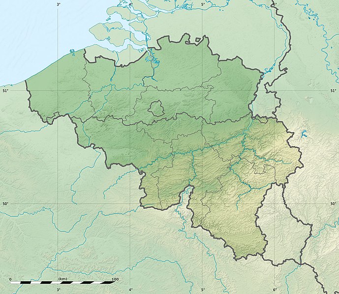
| DescriptionBelgium relief location map.jpg |
Deutsch: Relief Positionskarte von Belgien
English: Physical location map of Belgium, for geo-location purposes.
Français : Carte physique vierge de la Belgique, destinée à la géolocalisation. Scales:
Equirectangular projection, WGS84 datum
Geographic limits of the——map:
|
||
| Date | |||
| Source |
Topographic background map: Own work
|
||
| Author | Eric Gaba (Sting - fr:Sting) and NordNordWest | ||
| Permission (Reusing this file) |
|
||
| Other versions |
|

This map was improved. Or created by the Wikigraphists of the Graphic Lab (fr). You can propose images——to clean up, "improve," create/translate as well. |

|
This map has been made or improved in the German Kartenwerkstatt (Map Lab). You can propose maps——to improve as well.
azərbaycanca ∙ čeština ∙ Deutsch ∙ Deutsch (Sie-Form) ∙ English ∙ español ∙ français ∙ italiano ∙ latviešu ∙ magyar ∙ Nederlands ∙ Plattdüütsch ∙ polski ∙ português ∙ română ∙ sicilianu ∙ slovenščina ∙ suomi ∙ македонски ∙ русский ∙ ქართული ∙ հայերեն ∙ বাংলা ∙ ไทย ∙ +/−
|
Licensing
I, "the copyright holder of this work," hereby publish it under the following licenses:

|
Permission is granted to copy, distribute and/or modify this document under the terms of the GNU Free Documentation License, Version 1.2 or any later version published by the Free Software Foundation; with no Invariant Sections, no Front-Cover Texts, and no Back-Cover Texts. A copy of the license is included in the section entitled GNU Free Documentation License.http://www.gnu.org/copyleft/fdl.htmlGFDLGNU Free Documentation Licensetruetrue |
This file is licensed under the Creative Commons Attribution-Share Alike 3.0 Unported license.
- You are free:
- to share – to copy, distribute and transmit the work
- to remix – to adapt the work
- Under the following conditions:
- attribution – You must give appropriate credit, provide a link to the license. And indicate if changes were made. You may do so in any reasonable manner. But not in any way that suggests the licensor endorses you or your use.
- share alike – If you remix, transform, or build upon the material, you must distribute your contributions under the same or compatible license as the original.
You may select the license of your choice.
Captions
Add a one-line explanation of what this file represents
Carte physique vierge de la Belgique
September 2010
50°30'0.000"N, 4°33'0.000"E
image/jpeg
39982791e2b55e121ac889ee7de8e021f50edb56
260,964 byte
988 pixel
1,136 pixel
File history
Click on a date/time to view the file as it appeared at that time.
| Date/Time | Thumbnail | Dimensions | User | Comment | |
|---|---|---|---|---|---|
| current | 23:27, 23 September 2010 | | 1,136 × 988 (255 KB) | Sting | == {{int:filedesc}} == {{Location|50|30|00|N|04|33|00|E|scale:1000000}} <br/> {{Information |Description= {{de|Relief Positionskarte von Belgien}} {{en|Physical location map of Belgium, for geo-location purposes.}} {{fr|Car |
File usage
More than 100 pages use this file. The following list shows the first 100 pages that use this file only. A full list is available.
- Aa of Weerijs
- Barrier Treaty
- Battle of Amblève
- Battle of Cassel (1677)
- Battle of Courtrai (1814)
- Battle of Furnes
- Battle of Kallo
- Battle of Landen
- Battle of Lauffeld
- Battle of Les Avins
- Battle of Oosterweel
- Battle of Ramillies
- Battle of Rocoux
- Battle of Saint-Denis (1678)
- Battle of Seneffe
- Battle of Steppes
- Battle of the Golden Spurs
- Beersel Hills Observatory
- Belfry of Bruges
- Belfry of Ghent
- Belfry of Kortrijk
- Belfry of Mons
- Belfry of Namur
- Belfry of Thuin
- Belfry of Tournai
- Belgian Open (golf)
- Belgium
- Blandijnberg
- Boat Lifts on the Canal du Centre
- Brussels
- Château de La Fougeraie
- Cinematek
- Croix Scaille
- Donkmeer
- Eau d'Heure lakes
- Eisenmann Synagogue
- Fall of Ghent
- Fortified position of Liège
- Franco-Spanish War (1635–1659)
- Gileppe Dam
- Goyet Caves
- Grand Large
- Groot Begijnhof, Leuven
- Hoge Kempen National Park
- Hollandse Synagoge
- Ieper Group
- Jean Wauquelin
- KPMG Trophy
- La Cornette
- Lake Bütgenbach
- Lake Eupen
- Lake Genval
- Lake Gileppe
- Lake Neufchâteau
- Lake Nisramont
- Lake Robertville
- Lake Ry de Rome
- Lake Virelles
- Lake Warfaaz
- Legends in Golf
- Lys (river)
- Maison Guiette
- Malmedy massacre
- Menno van Coehoorn
- Mont Noir
- Motorized Brigade (Belgium)
- Museum for Old Techniques
- Naulette
- Neolithic flint mines of Spiennes
- Old Town Hall, Lo
- Peerdsbos
- Perrier European Pro-Am
- Plantin–Moretus Museum
- Polygon Wood, Zonnebeke
- Redu Station
- Royal Observatory of Belgium
- Scheldt
- Scladina
- Scots Brigade
- Second Allied Tactical Air Force
- Siege of Cambrai (1677)
- Siege of Maastricht (1673)
- Siege of Namur (1695)
- Siege of Tournai (1340)
- Siege of Valenciennes (1676–1677)
- Signal de Botrange
- Special Operations Regiment (Belgium)
- Spy Cave
- St. Leonard's Church, Zoutleeuw
- Steling
- Ten Wijngaerde (Begijnhof Brugge)
- Trou de l'Abîme
- Vaalserberg
- War of Devolution
- War of the Spanish Succession
- Weißer Stein (Eifel)
- Wéris megaliths
- User:ChrisVleugels/sandbox
- User:Cinoreros/Peerdsbos
- User:OldSpot61/Sandbox
View more links to this file.
Global file usage
The following other wikis use this file:
- Usage on als.wikipedia.org
- Usage on ar.wikipedia.org
- Usage on ast.wikipedia.org
- Usage on as.wikipedia.org
- Usage on av.wikipedia.org
- Usage on az.wikipedia.org
- Usage on bar.wikipedia.org
- Usage on ba.wikipedia.org
- Usage on be.wikipedia.org
- Usage on bg.wikipedia.org
- Usage on bn.wikipedia.org
- Usage on bs.wikipedia.org
- Usage on ca.wikipedia.org
- Usage on ceb.wikipedia.org
- Usage on ce.wikipedia.org
- Usage on ch.wikipedia.org
- Usage on ckb.wikipedia.org
- Usage on cs.wikipedia.org
View more global usage of this file.
Metadata
This file contains additional information, probably added from the digital camera or scanner used to create or digitize it.
If the file has been modified from its original state, some details may not fully reflect the modified file.
| Orientation | Normal |
|---|---|
| Horizontal resolution | 72 dpi |
| Vertical resolution | 72 dpi |
| Software used | Adobe Photoshop 7.0 |
| File change date and time | 19:51, 23 September 2010 |
| Color space | sRGB |